


This is not right:

Similkameen River, January 14, 2026. photo by Harold Rhenisch
This time of year, it should be a low river with clear water and green ice along the shore, with less than half this volume. A couple weeks ago, all this gravel was underwater, too.
At this point, constrained by a dike behind the camera, the river is running in one channel.

Similkameen at Keremeos Creek Mouth, photo by Harold Rhenisch
The red bush on the right marks the mouth of Keremeos Creek. From there, a dike constrains the river, so it flows off towards the mountain. It dates from 1973. The valley flooded. Only the rail line running a kilometre east of the river stopped the entire valley from becoming a lake. A couple kilometres to the north…
This was a lake. photo by Harold Rhenisch
The hay pile was a sawmill through the 1960s, with a big sawdust pile.
…and facing away from the feedlot, from the top of the dike, it looks like this:
The 1973 Channel Taking up Flood Water. photo by Harold Rhenisch
Note the smog. Or smoke. And fog.
Look at this stuff:

That’s a Late May runoff, but in mid-January. photo by Harold Rhenisch
And December. Back then, that island was mostly underwater, too.
Truth is, the whole valley belongs to the river.
Similkameen Station. photo by Harold Rhenisch
When my father came in 1954, this flooded every spring. That slowed the river and stripped it of its load of silt. The big pines in back remain because they were across the river. The railroad took all the ones on this side. Yes, it was the Great Northern. A US Railroad.
It does have a very friendly guardian now.
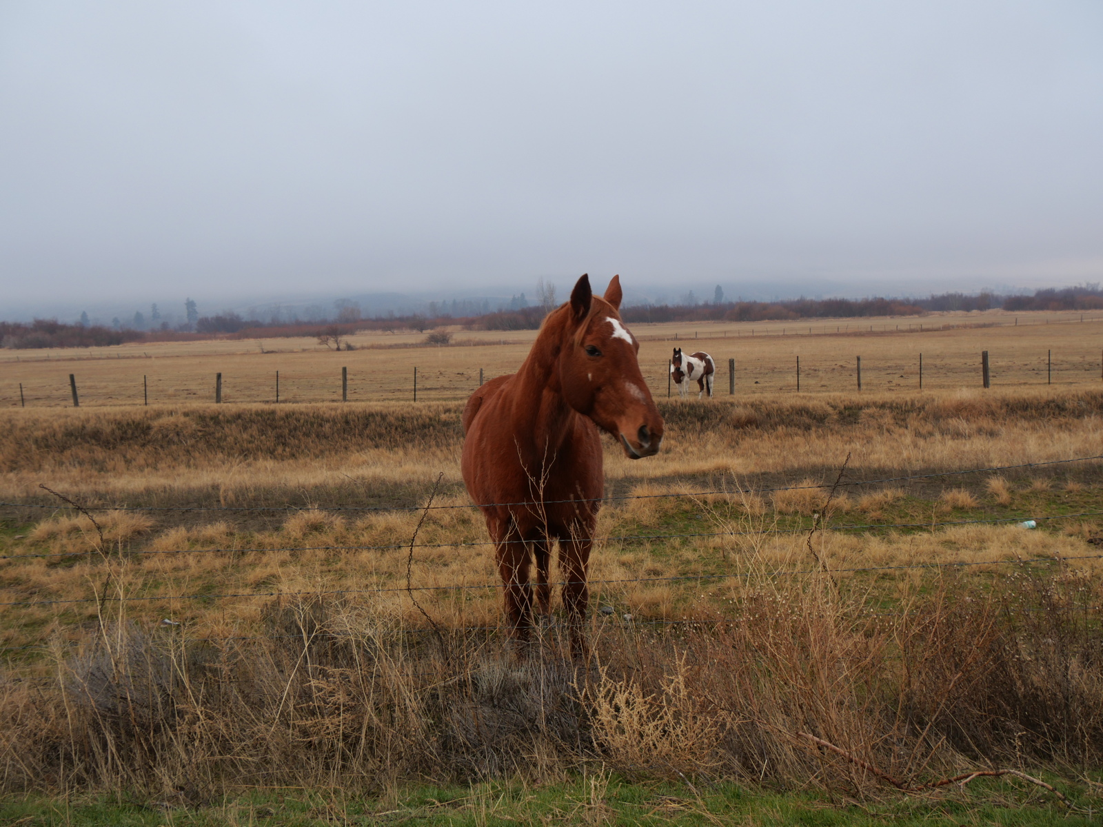
The pied horse in the back is standing immediately behind the rail line that blocked the lake from the highway (where I am standing) in 1973. photo by Harold Rhenisch
This river channel, a living part of the river, has been used for agriculture since 1862. Whole livelihoods are dependent on it. Flooding is not an option. However, the result, fast, aggressive flows, are the result, which threaten dikes further. All in all, we got this wrong. In the next valley to the East, we got this wrong, too:
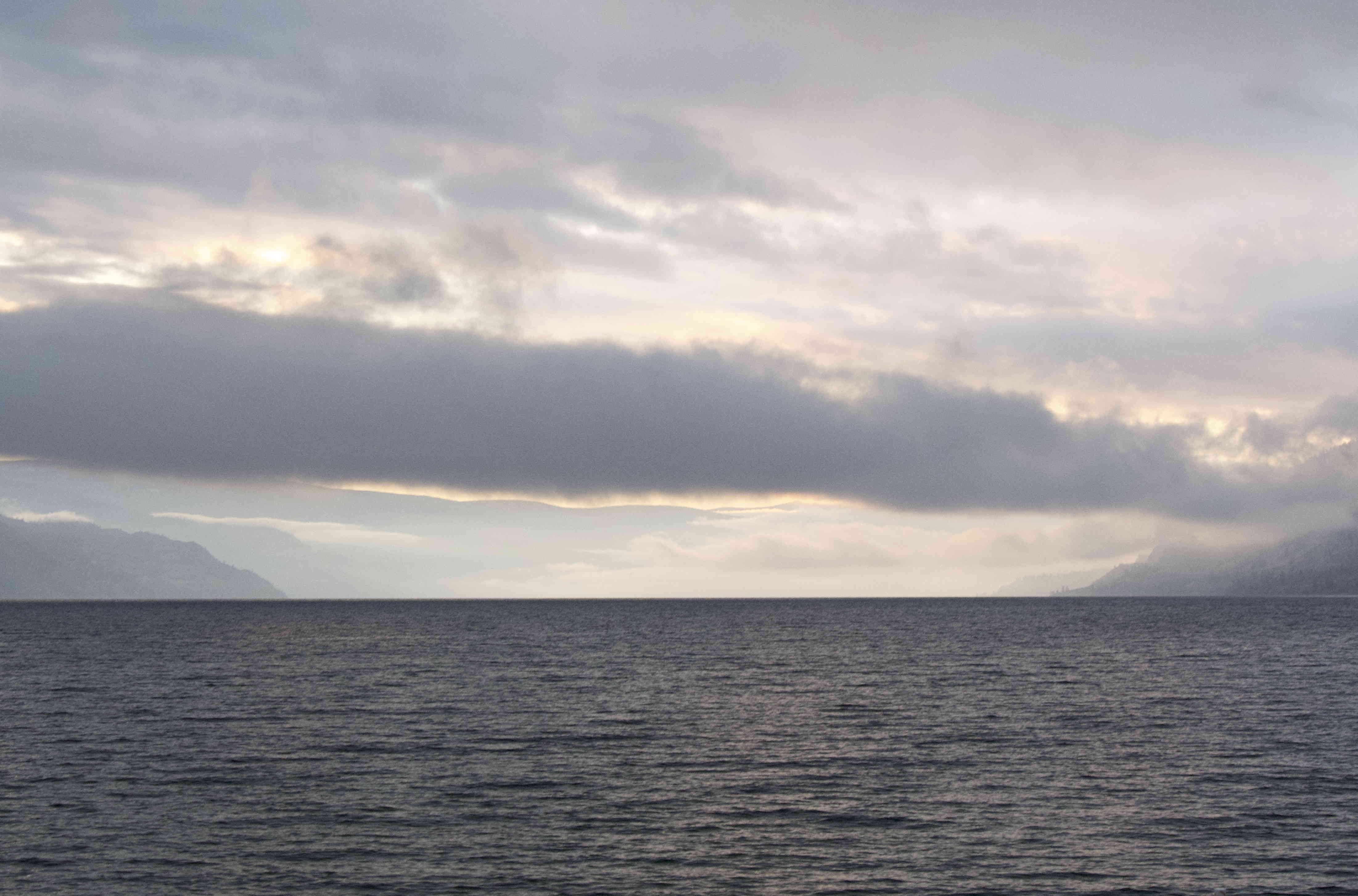
Sunrise at Antlers. photo by Harold Rhenisch
(Okanagan Lake).
That is absolutely the wrong colour. Ever-accelerating industrial and residential development, and the creation of a metropolitan area stretching 135 kilometres along the lake (and farther), broken by steep mountains and requiring a lot of driving to make it into something resembling a city, has filled it with smoke and exhaust. It would be easy to say that when I was a young man, let alone a boy, this was not the case, but that’s not the point. My point is not to bemoan a lost past. It is to simply state that we got this wrong.
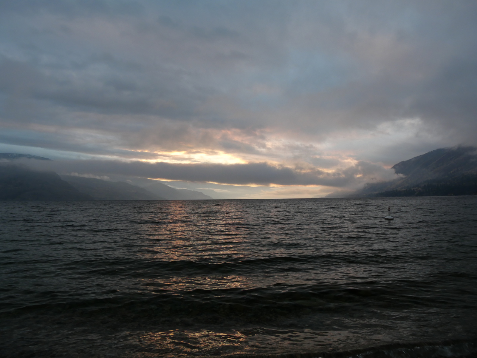
Five minutes later. Kelowna is off to the left, around the bend of the lake there. Penticton is straight ahead. photo by Harold Rhenisch
My point is air, land and water. These valleys are dry. The water is up high.
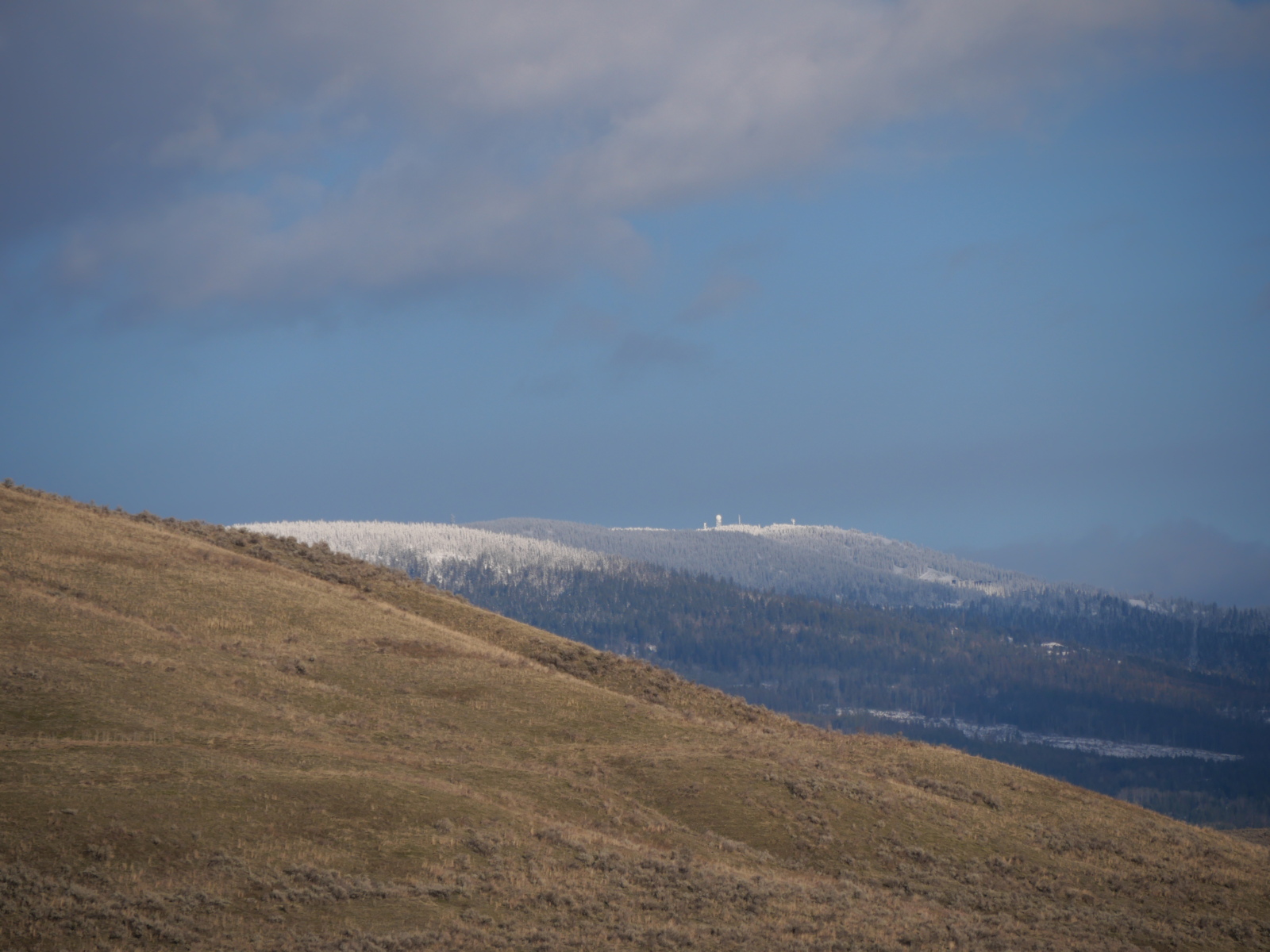
Bella Vista Hills, Looking Towards Silver Star Mountain. photo by Harold Rhenisch
If it stays as snow, it provides water all through the summer. If not, well…

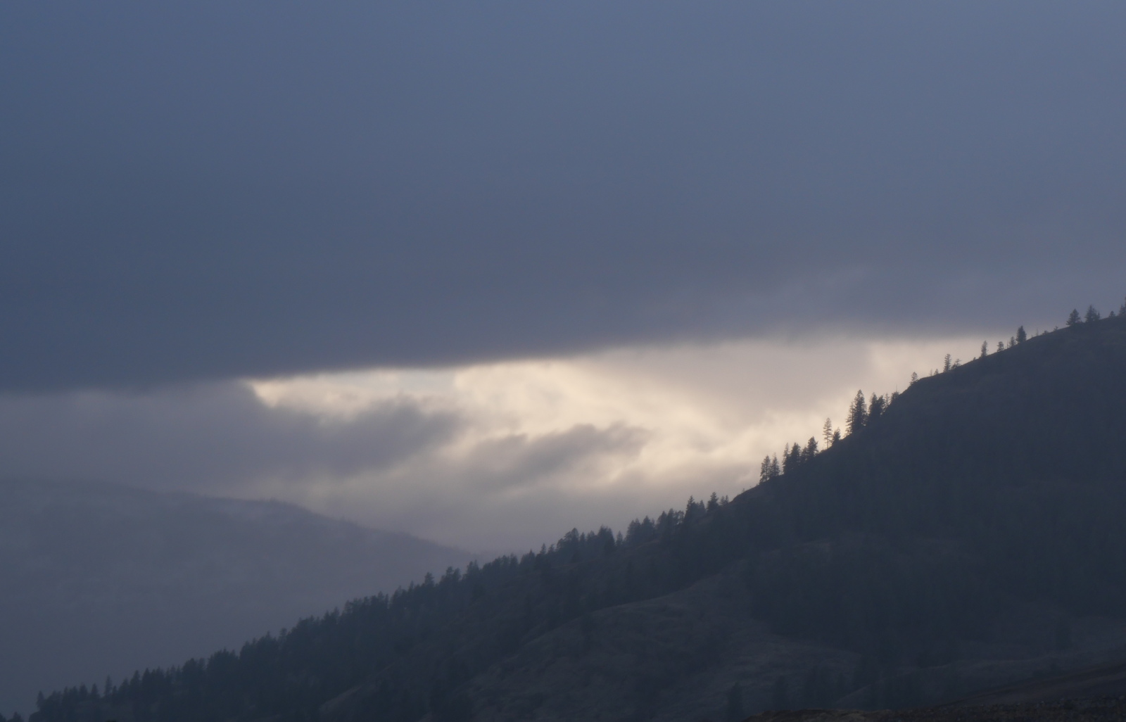
Similkameen River, Below K Mountain, photo by Harold Rhenisch
… it brings both land and water down, together, in January. What’s left for July? Or August? The drought isn’t random, by the way. It’s a result of air pressure. Here’s an image of that…
High Pressure Valley Air holding Low Pressure Ocean Air Above it. photo by Harold Rhenisch
This is called a “temperature inversion”, which is pretty funny, really, because if it’s normal, it’s not an inversion. It’s a failure of understanding, or at least a failure in a system of measurement. One result of this layered atmosphere, however, is that dirty air gets caught below the atmospheric river above (which is a popular term these days, to describe climate change, although it has been absolutely normal on this coast for millions of years. Yes, it has changed position, which is serious, but that’s another matter.)
Pretty Hard to See in the Murk, I’d Say. photo by Harold Rhenisch
That is a fine snow in the distance, catching light, and scattering it into trapped car exhaust. Nice, eh.
Like, I say, we got this wrong. We built stuff in the valley bottom, because it’s warm and sunny, and used the lakes up high to store water for the valleys, where 45% of it evaporates on impact (due to the high pressure air), letting the excess run off in the spring, and used the rest of the upland for forestry, all of which results in this:
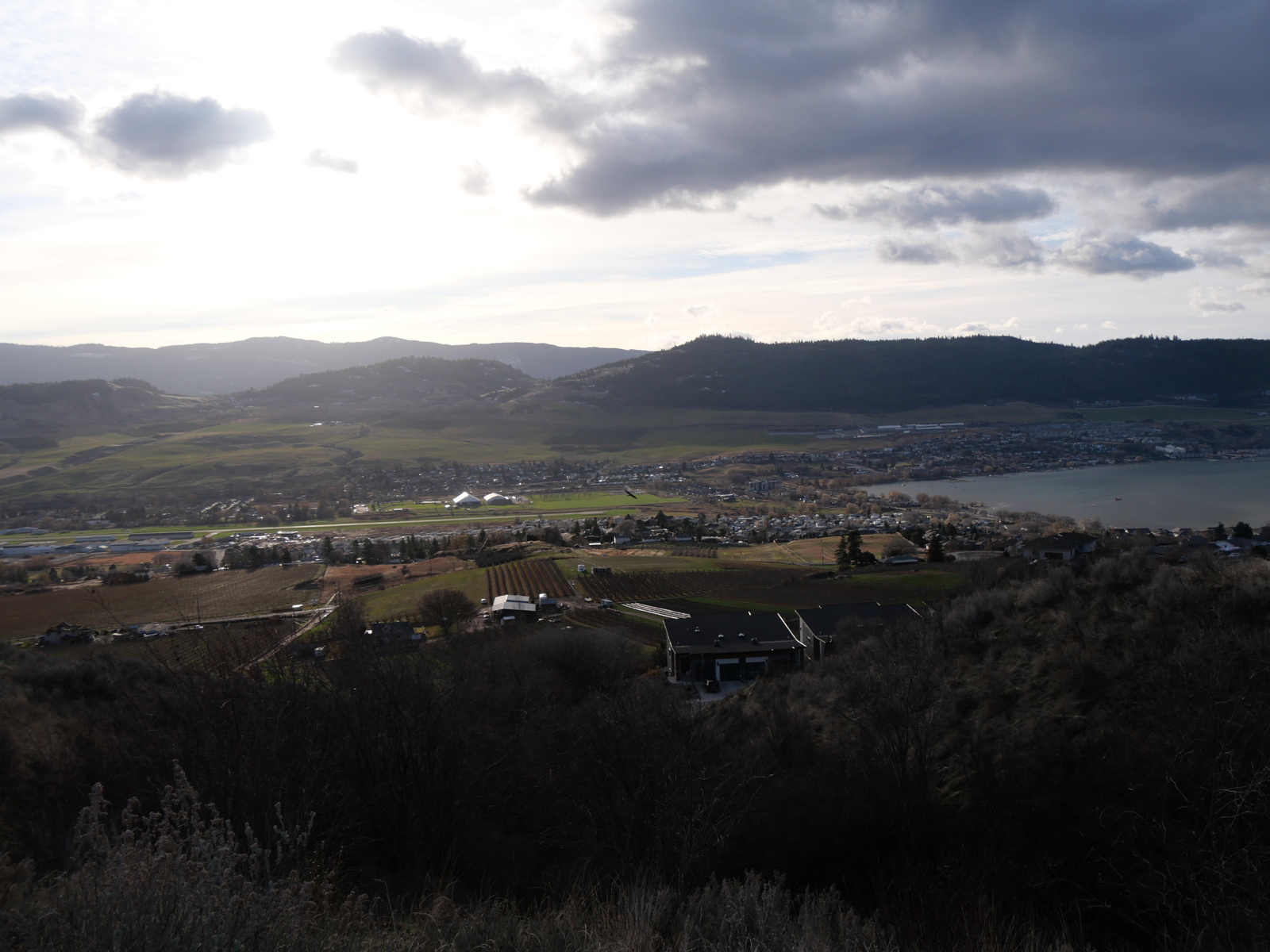
Priest Valley, on Canim Bay, on the West Arm of Okanagan Lake, about fifteen kilometres from its Northern Shore at Head of the Lake. photo by Harold Rhenisch
Note the exhaust pouring north from Kelowna over Kalamalka Lake (Behind the Commonage Hills) and the brown air. And, yes, this should be Minus 10, with 20 centimetres of snow, or more.
This is an important Canadian agricultural, urban and recreational space, but that doesn’t mean we didn’t get it wrong.
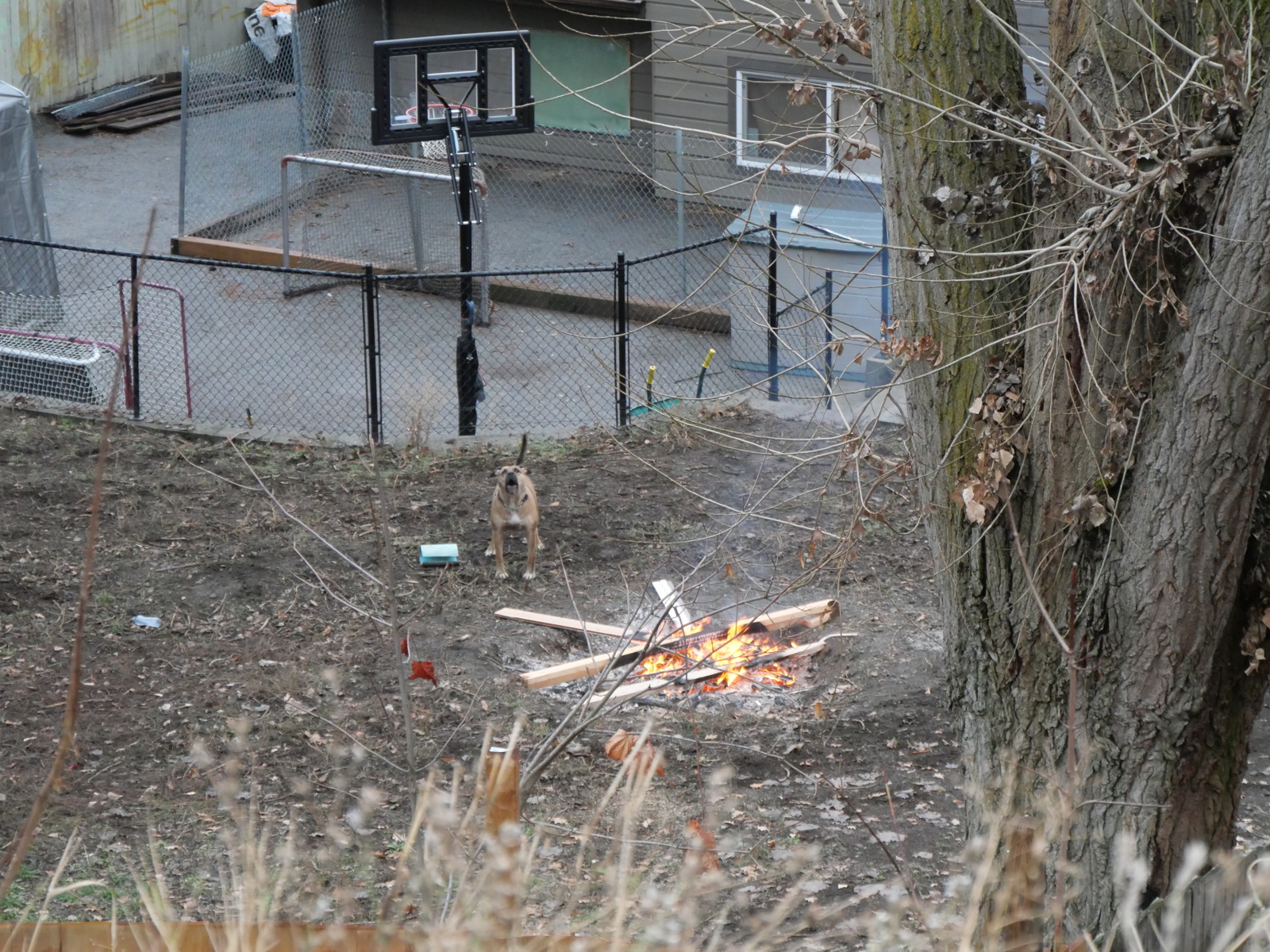
The State of Canada Today. photo by Harold Rhenisch
Note the basketball-hockey dynamic, the burning of good wood, the plastic shed, and the aggressive private property stance. Nice. Really, you can’t make this stuff up.
We can also blame it all on climate change, and that is certainly a serious thing, but, again, that doesn’t mean we didn’t get it wrong here, specifically, or that there is nothing we can do locally.
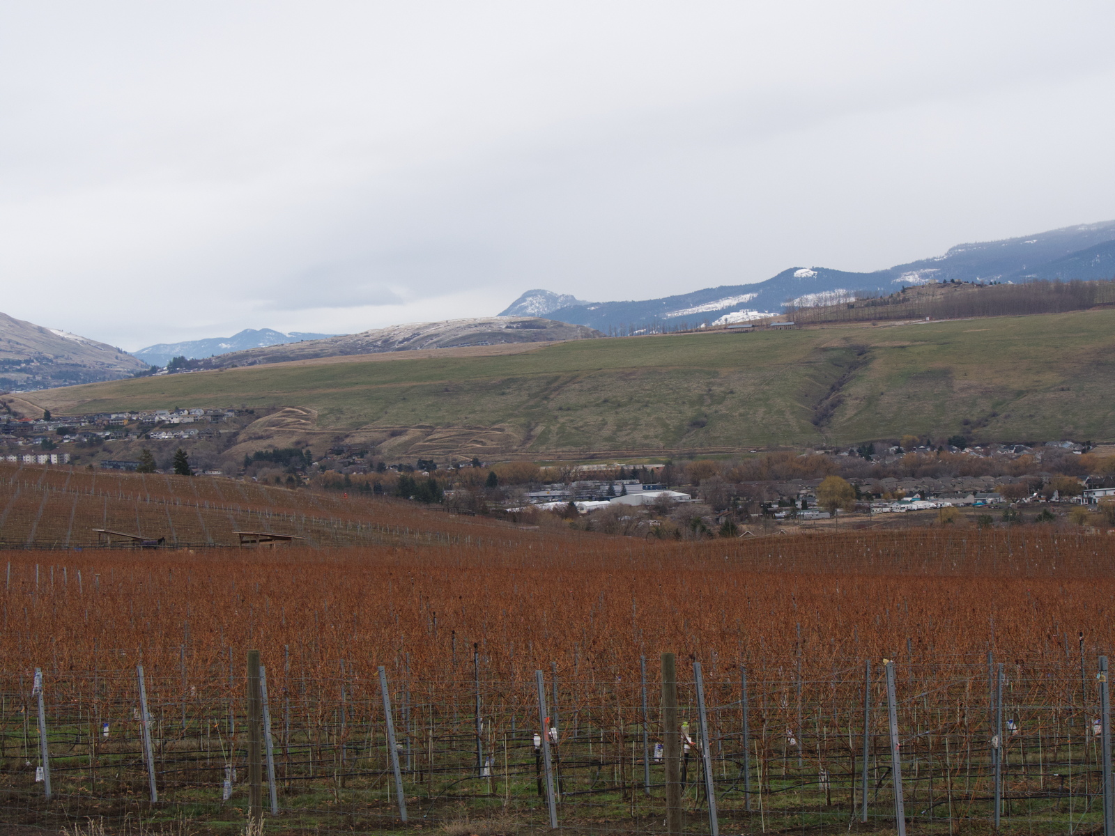
Bella Vista Bowl Vineyard, photo by Harold Rhenisch
Our Societal Survival Here is Not Really About Vineyards and Wine Tourism, Nice as They Can Be
It has to do with reconciliation of people, land, air and water. Not this:
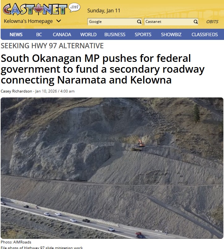
For two years now, work on this rockslide has slowed traffic on Highway 97, which connects the metropolitan areas of the urban sprawl that the Okanagan Valley has become. Agitation for a second route (a problematic business that would destroy some communities to connect others (and generate more exhaust) isn’t the solution. It is part of the problem. There are natural limits. We’ve exceeded them. Our development plan was wrong. I’ll talk about moving forward in the next post. Until then, remember my horse?
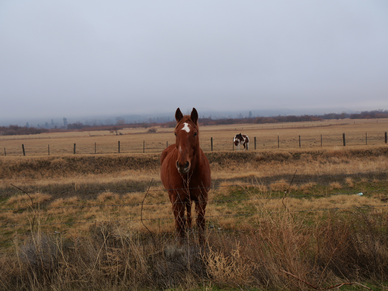
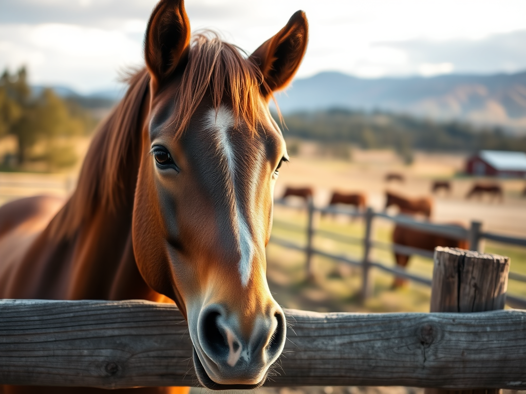
That’s a horse at Similkameen (Station) on the Lower Similkameen Indian Band Lands on the left, and one (ostensibly of the same thing) generated by AI on the right. Photo on the left by Harold Rhenisch
It’s time for the fantasies to stop. It has, after all, been 165 years. Those old misunderstandings can’t manage our contemporary pressures, not any more. It’s hard to see…
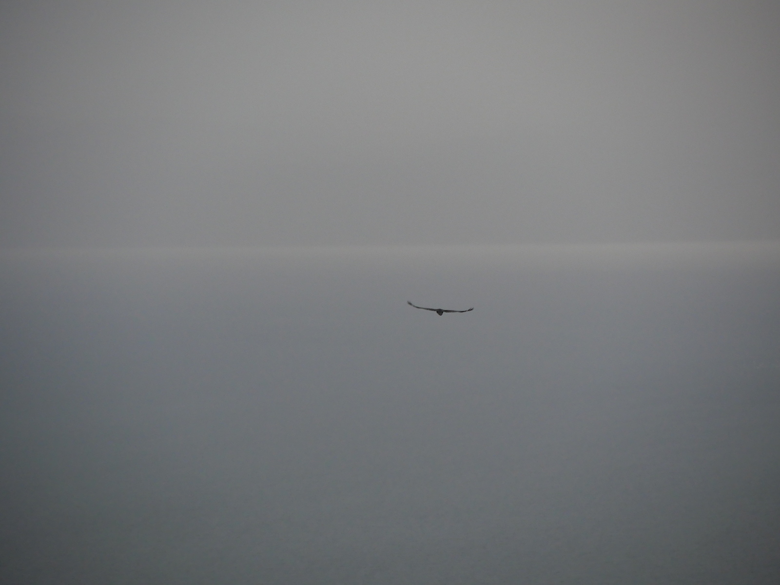
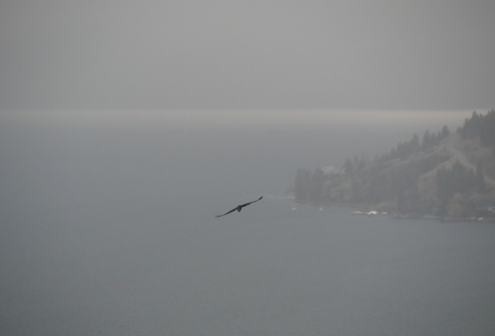
Red-tailed Hawk on the Hunt, photo by Harold Rhenisch
…but we have to try.
Categories: Agriculture, Artificial Intelligence, Atmosphere, Cascadia, Earth, Earth Science, Erosion, Ethics, fire, First Peoples, Forestry, Geology, Global Warming, Grasslands, History, history, Land, Land Development, Light, Nature Photography, Other People, Spirit, Water


