


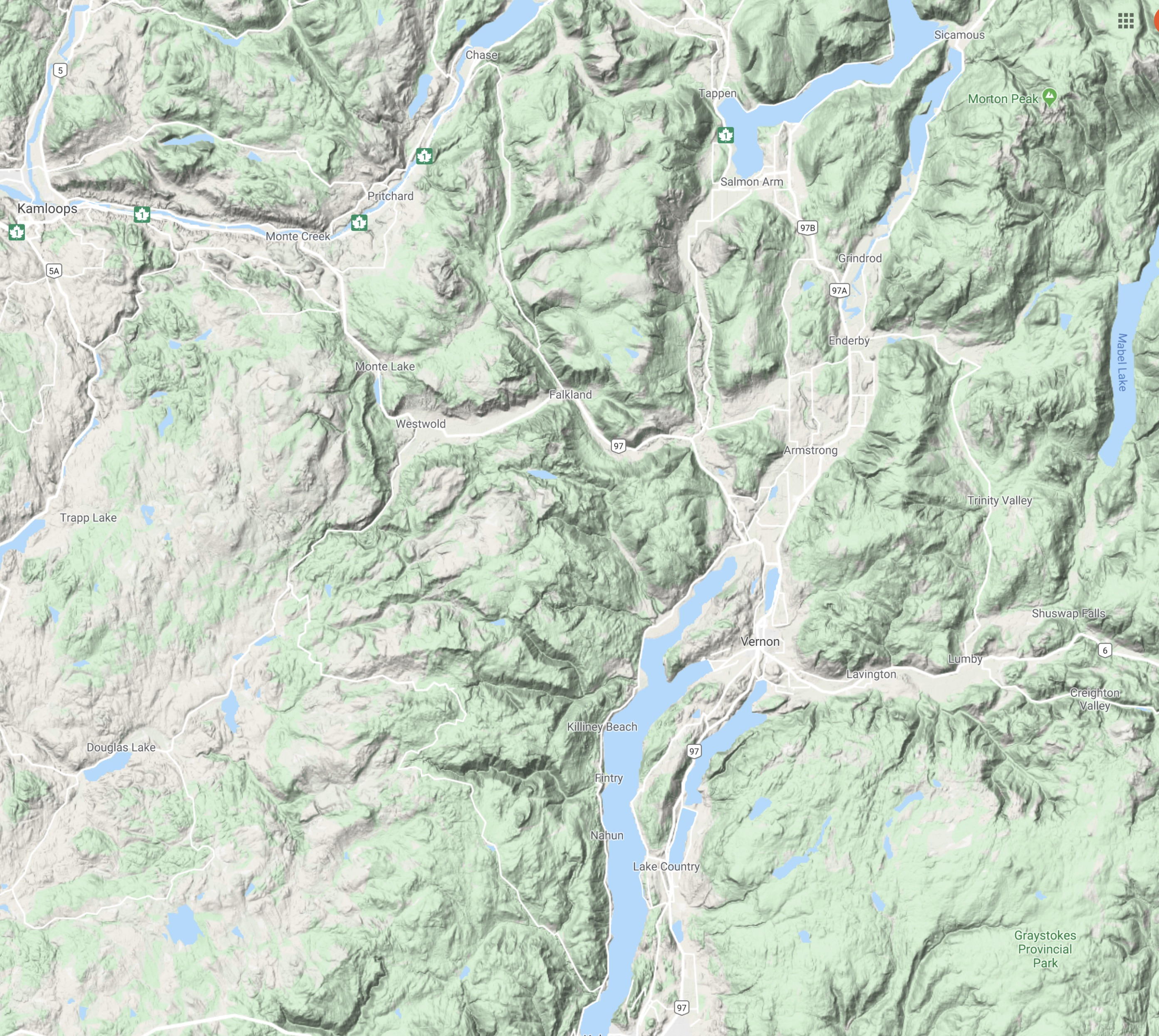
This is a map of south-central British Columbia.
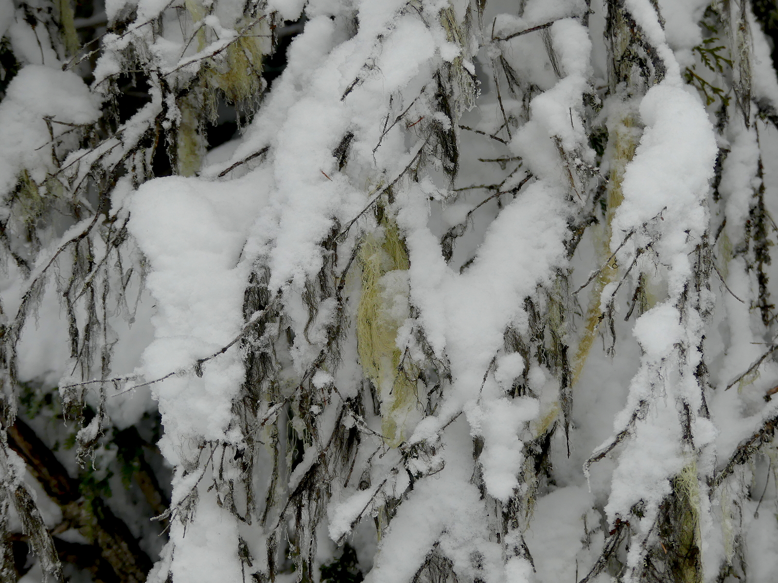
In certain cultures, it is called lichen hanging off the dead lower branches of a tree. Here’s what some cultures call a map:
Note that both interleave dimensional surfaces, which catch, melt, rematch and transport water. In some cultures, the lower map is used to find the locations of trees draped with lichen. In other cultures, the trees draped with lichen are used to read the patterns by which water flows through the coming year. It is expandable to the trees themselves. This kind of map is a map of life.

The map below is a map of measurements and pathfinding.
It is most useful for those who don’t know where they are. For those who do, this will do:

Especially when set against this:
And this:

Wherever these lichens appear is one “place” in this map. I put it in quotes because it is not a place. It’s a relationship. The other kind of map would locate these occurrences on a map and say they are located in space. Not really. Space is located in them. The cottonwood below…
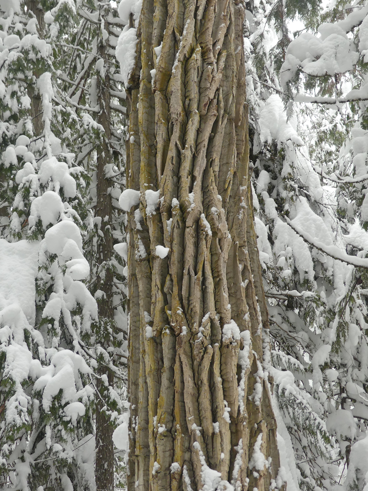
… in the middle of a cedar-hemlock forest…

… is not a remnant there. It is cottonwood. It appears elsewhere as well. Same “place.”


beautiful maps,
LikeLike
Glad you like them!
LikeLike