


High above the confluence of the Snake and Clearwater rivers, in the southeastern reach of my plateau homeland, the Camas Prairie catches the sky. The camas once bloomed in blue fields here. Now wheat transforms ammonium nitrate into bread.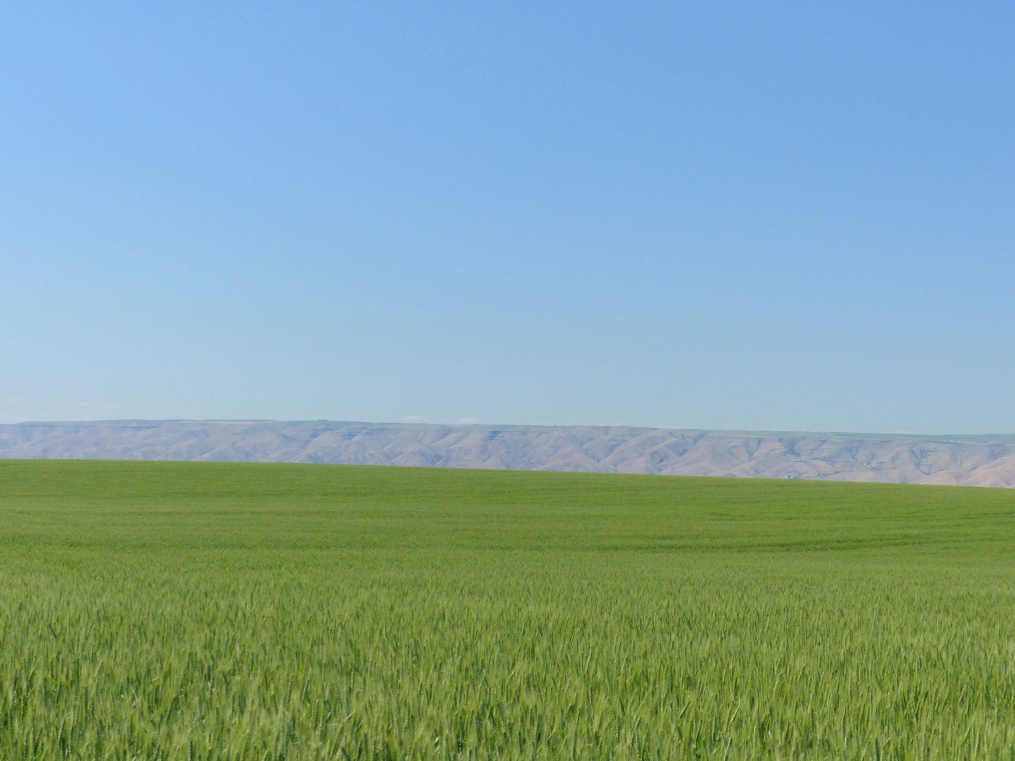 And bread into guns.
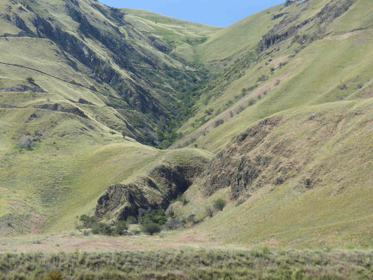
Below these fertilized heights, the Snake River flows, in a canyon more than a mile deep.
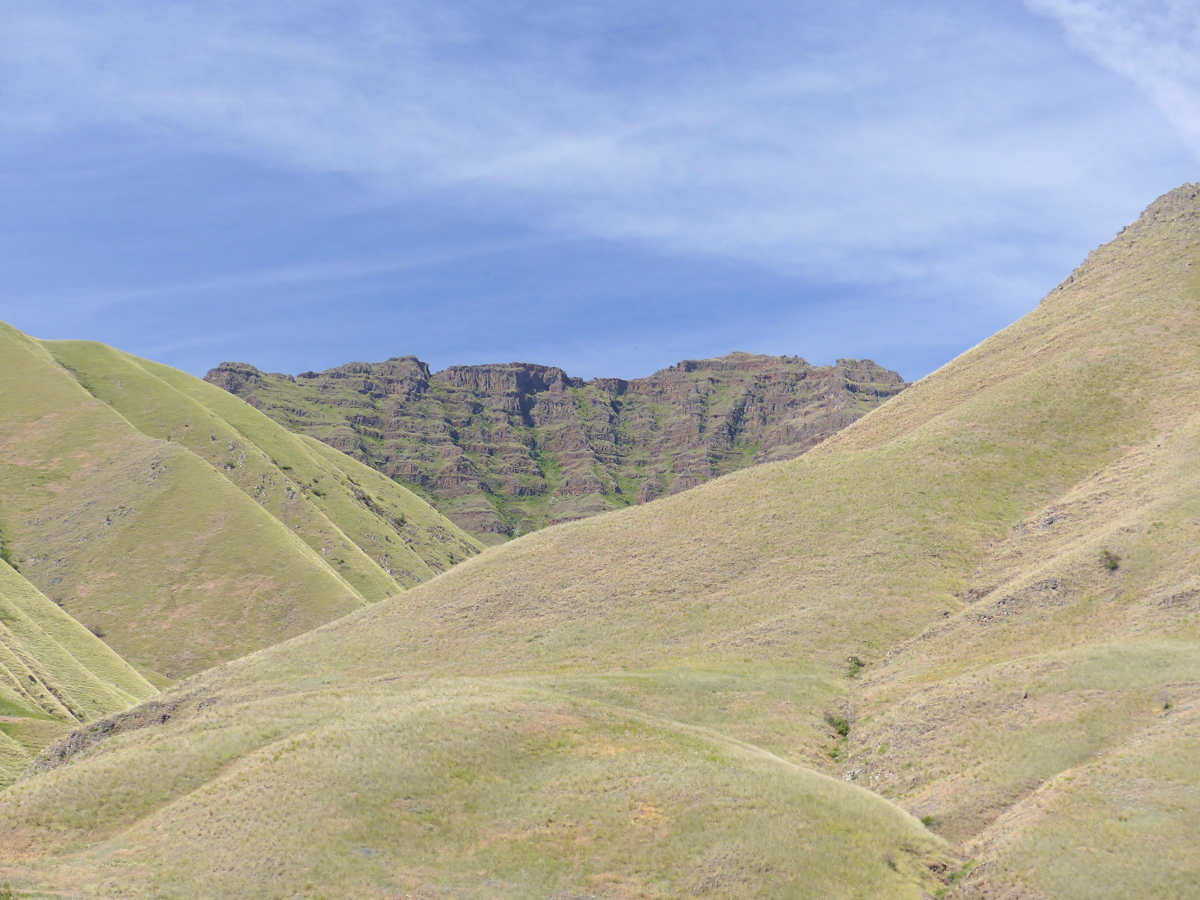
It’s a beautiful place.

I took a boat trip up the Snake in June. The guide said, “The Nez Perce [Nimíipuu] didn’t use this canyon much. There wasn’t much here for them.” He told stories of gold miners, prospectors, steamboat pilots, and sheep farmers. Lots of sheep farmers. Sheep eat grass. Beautiful grass.

No sheep there now, though. For that, you need sheep farmers, and for sheep farmers you just don’t need your own government dropping this on your head…

That’s “B Reactor” at Hanford, on the Columbia to the west. It produced the plutonium for the Trinity Test and the Nagasaki Bomb and a lot of other warheads as well. Along the way, it produced a mess of nasty isotopes, which were experimentally released into the air, to see what would happen. It killed sheep farmers is what.

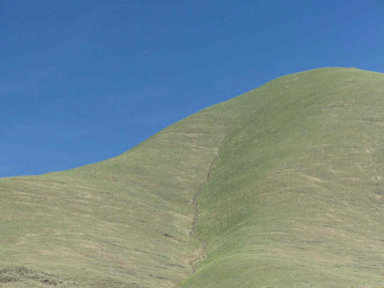
No sheep, see? The remaining sheep ranches have been turned into US Park Service sites. As for the Nimíipuu, well, it’s not true that they didn’t use this land, either. After all, this the trail that Joseph and his band from the Wallowa used to take down to the river, where they overwintered (for half of every year [!!!!!!!]}

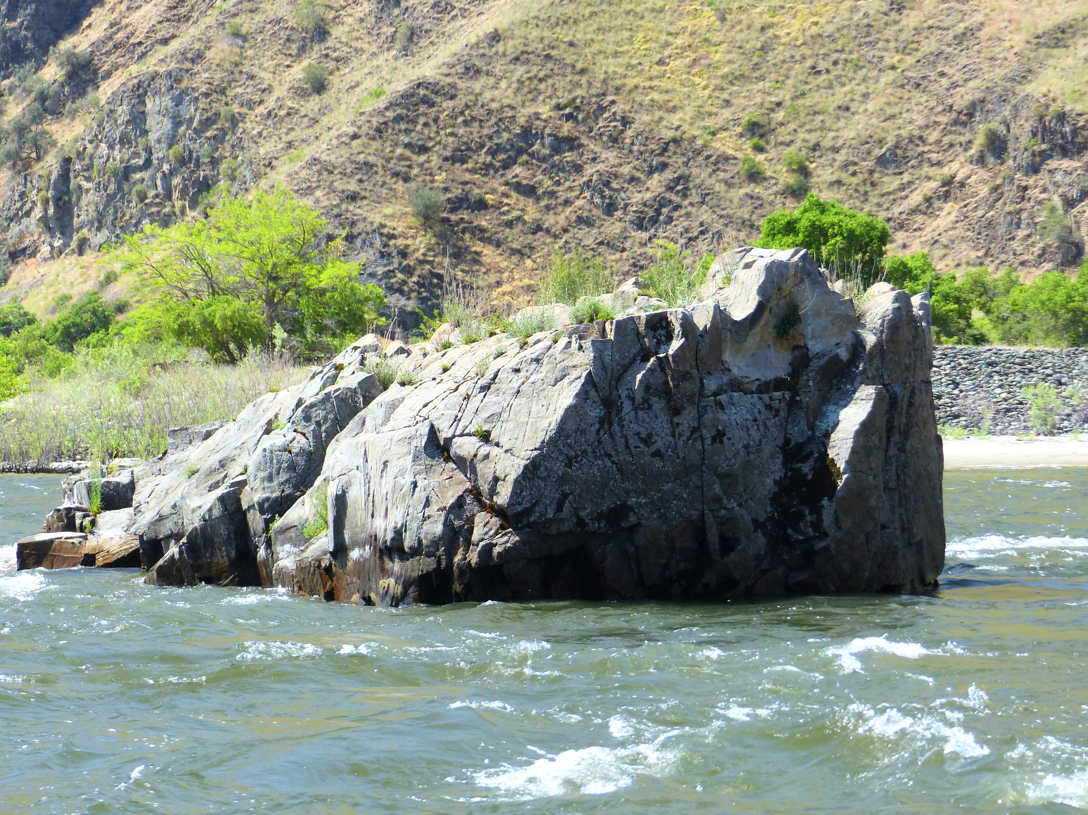
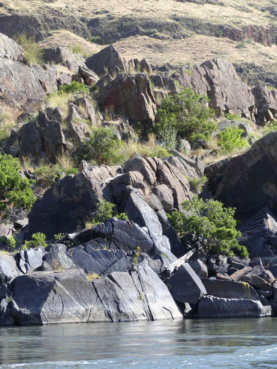
And why? Well, look. A spirit rock.
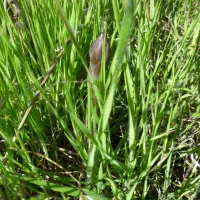
Spirit rocks, formed by spines of old rock thrust up in the volcanic regime, are great places to fish. In indigenous earth, story and practicality join, but spirit comes first. You can pick a fishing spot by its spirit stories and know there will be fish there. 12,000 years of experience helps.
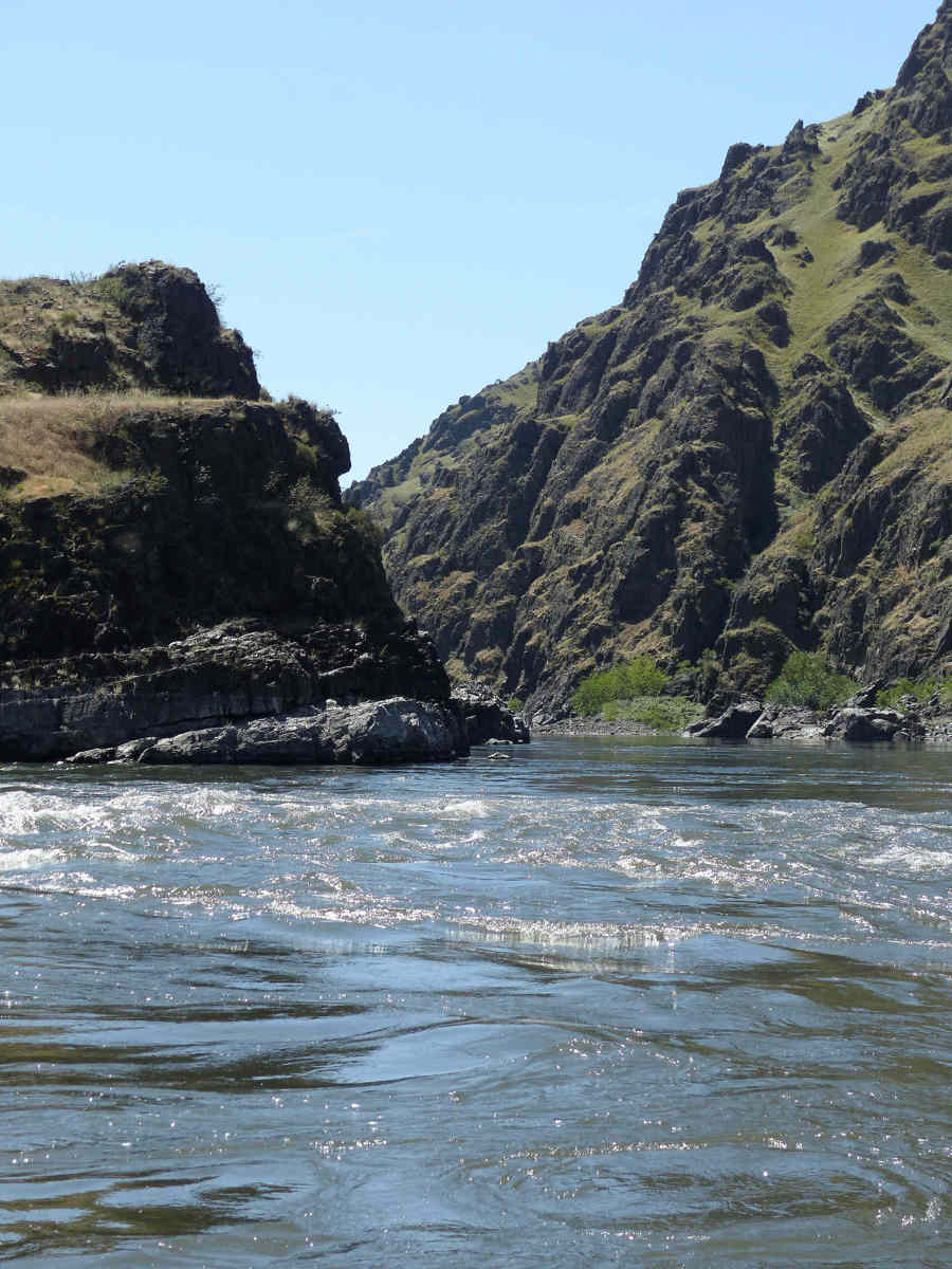
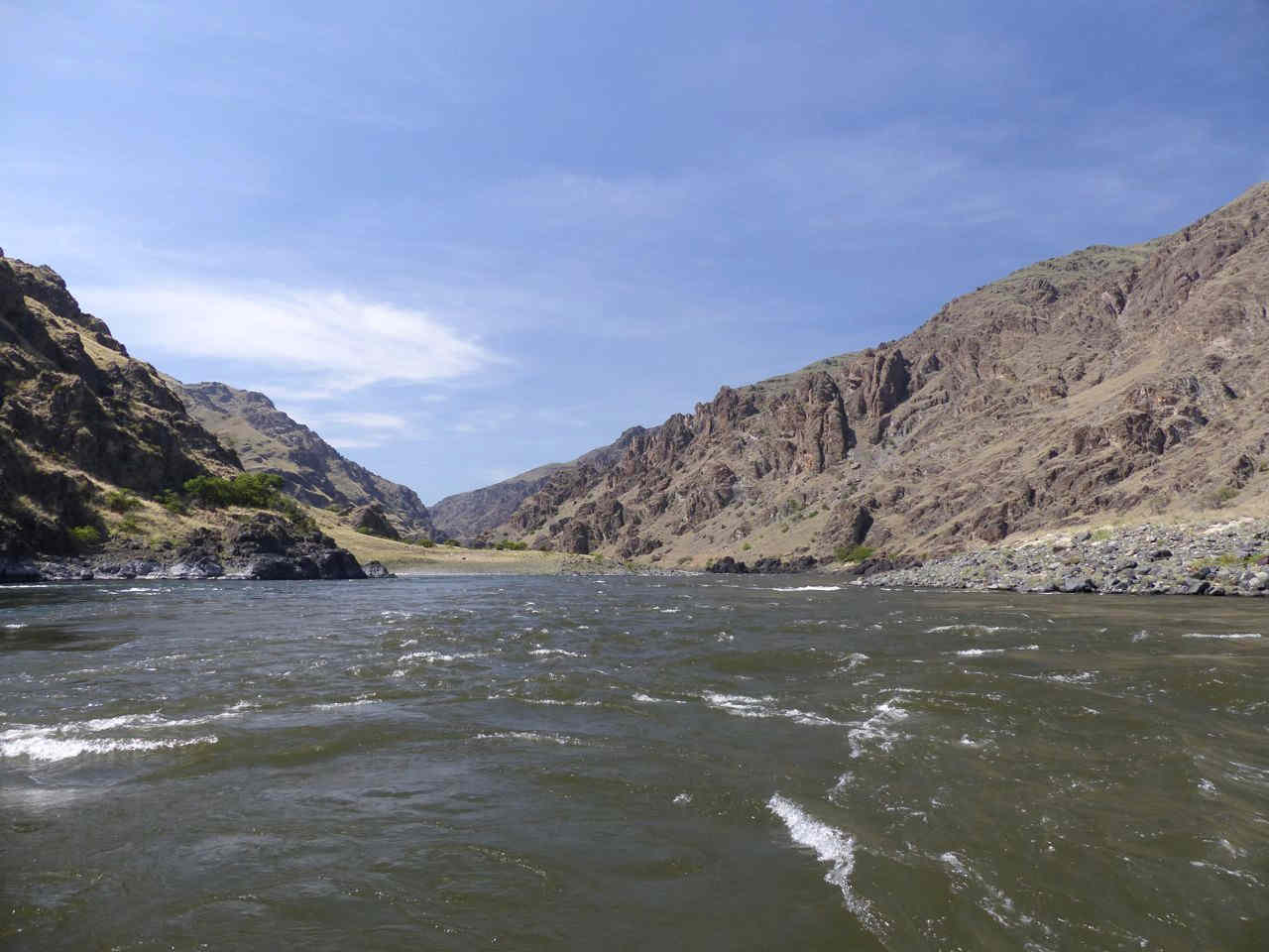
And what better place to fish than the mouth of the Salmon River? Here it is, entering the Snake. It’s best to think of it as a living thing.
In Joseph’s time, and in the time of his ancestors, the Snake (in the foreground) would have been ten times the strength of the Salmon. Now its flow is controlled by dams upriver. It would have backed up into an amazing fishing eddy, rather than the simple curl of a rapid it ends in now. Here it is looking down the Snake, just south of the confluence. Picture look a bit wobbly? Such is boat life.
 Here is the foreshore of the Nimíipuu winter camp. The mouth of the Snake is to the immediate right.
Hardly an issue of not using the canyon. Modern roads …
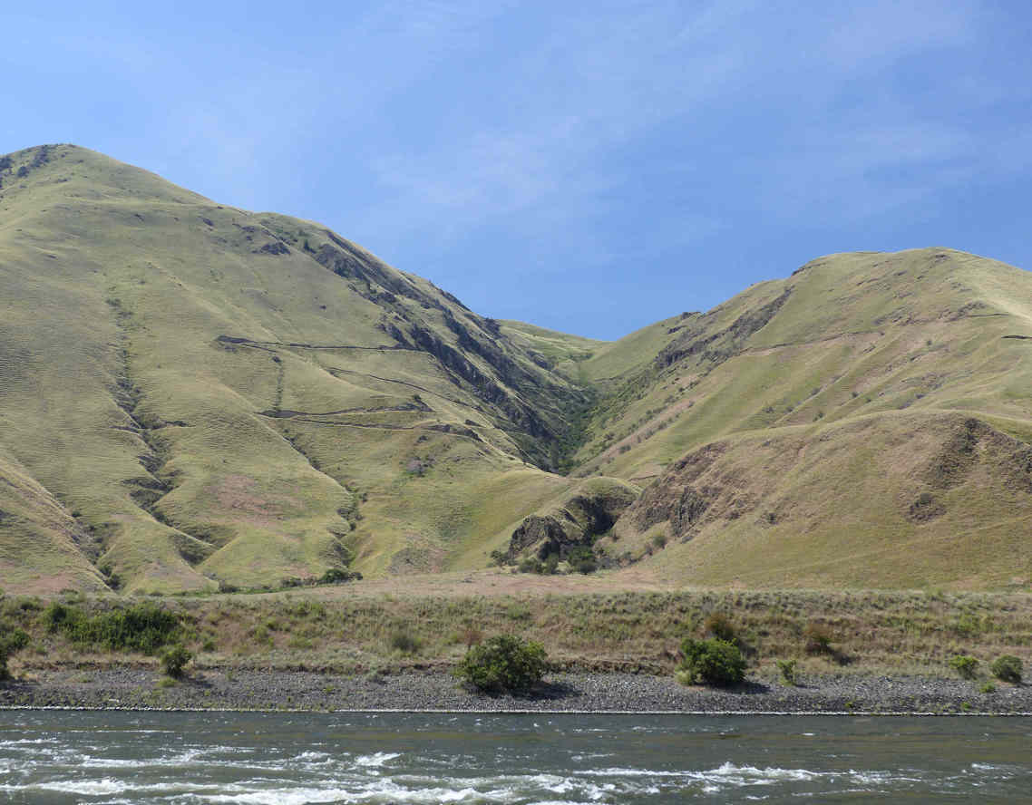
… are not so smart, like this one slashing across the spirit path down this draw and through the ancient story of stone at its mouth. Here it is closer…
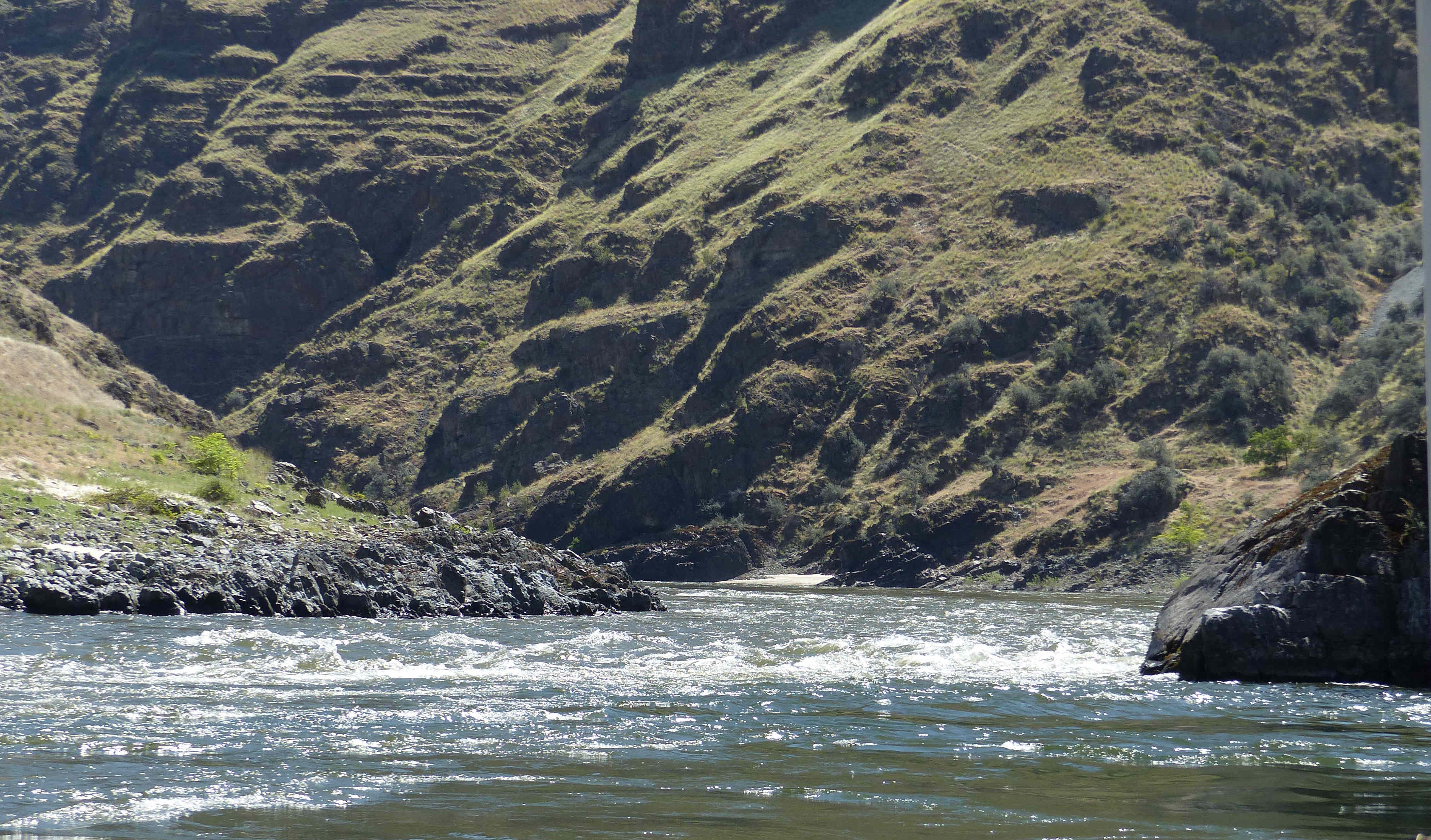
Talk about being unable to read the land, or the water. The image below looks north, up the Snake. The Salmon is entering from the left. Does it look like we’re eddying in circles? Such is also boat life.
Was there ever a better space to spend half your life? The salmon caught just downriver here at the next series of spirit rocks in the Snake sustained Lewis and Clark on their return from their big scientific [spy] journey [reconnaissance] to the Pacific in 1804. They were camped on the other side of the Camas Prairie, along the Clearwater River, at the Heart of the Monster, the place where the Nimíipuu began and, still, the centre of the homeland (well, except for the Camas Prairie, perhaps).

They were starving, because they had tried to pass the Rockies to the east too early in the season, against advice. Three men went to the fishing camp on the Salmon, a hard two days’ journey either way, for a handful of fish, all rotting except for one by the time they got them back. At the camp, they had to stand in line for their fish. It was very early in the fishing season. The few fish that were being caught were released to people from all the bands of the Nimíipuu on a needs basis. The Americans had to wait their turn. That doesn’t sound like an unused river to me. This is what a river looks like when it is used.

This is what a river looks like when it is unused. Yes, that’s the ruin of a sheep ranch.
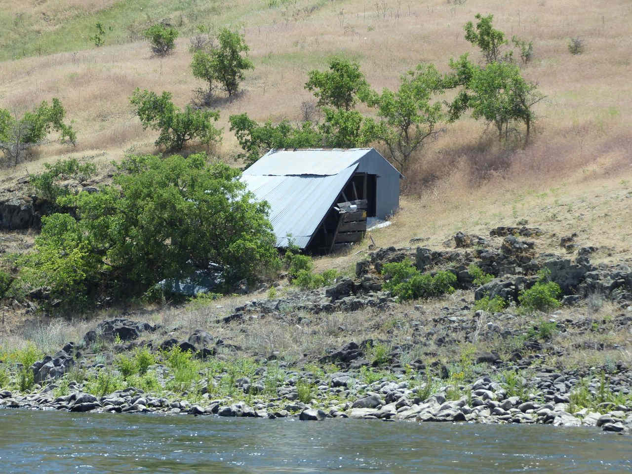
And this is what a canyon land looks like once sheep have trashed it. Not a scrap of bunchgrass in sight.
What astonishes me is that once the settlers have proven that neither they nor their government can really look after the land, it is not returned to its people and their spirit rocks.

Dunno. I guess the boat guide calling the images at Buffalo Eddy, like the one above, “crap” is a clue. One first step, now that the river is being viewed not as a spiritual story but as a physical one, one of geography and nature…

Moon Above the Weeds, Asotin
… is to regain the spiritual story within that nature. I don’t mean some New Age world of charms and crystals and good feelings, although that can be beautiful enough. I mean, reading the life energy again in the land…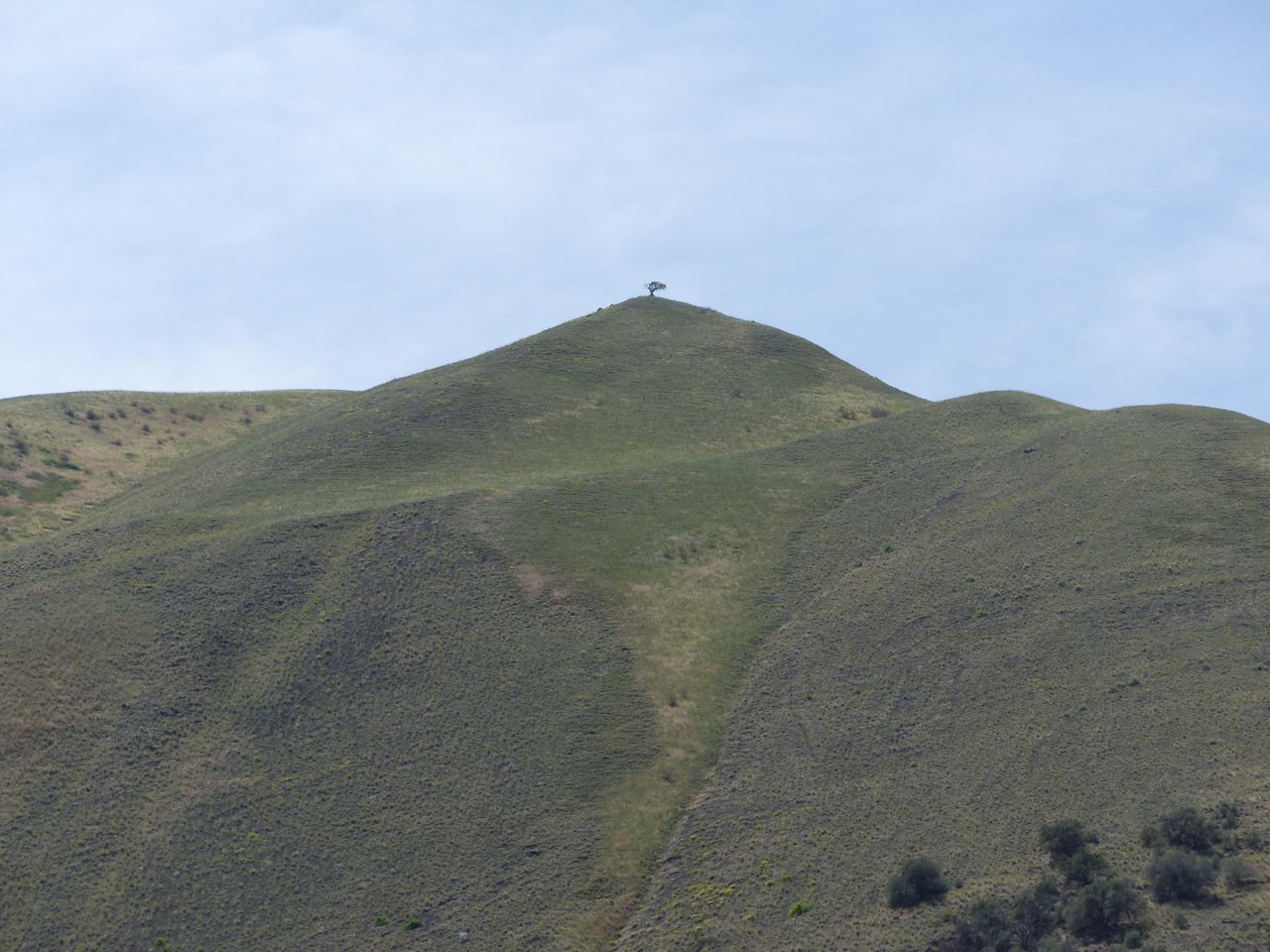
… and rebuilding memory out of it. Right now, B Reactor is forgotten, the Nimíipuu are forgotten, Lewis and Clark are remembered poorly, the Snake is forgotten, the fishing sites and winter camps are forgotten, although it is out of memory that thought and identity is made. Without them, there is no consciousness. The Snake is conscious, in its riverine way. Can you read it here at Buffalo Eddy?
 Shouldn’t all culture be as conscious as that? And with as much life as this:

Eventually one has to leave the Snake …
Eventually one has to go back. Next time, let’s go together. Let’s go deep. Let’s go to the river of stone that falls from the sky.
Let’s start with that.

Categories: Agriculture, Earth, First Peoples, Gaia, Geology, Grasslands, History, Nature Photography, Recreation, Spirit, Water


loveliness!
LikeLike
🙂
LikeLike
Beautiful land, beautiful writing.
LikeLike
Thanks, Steve! I can only do this with you and my other readers behind me. It means a lot.
LikeLike