


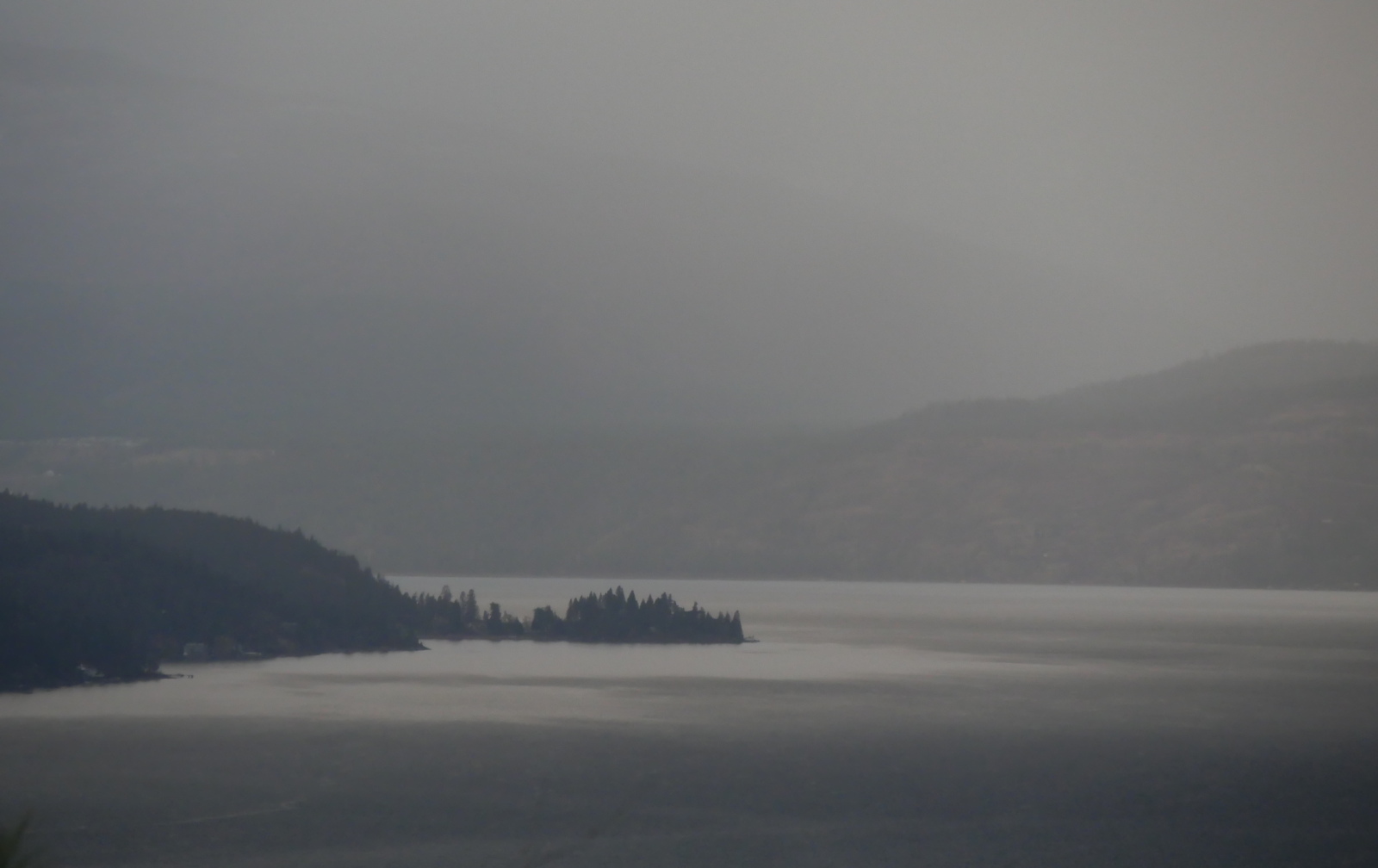
It’s dry down here. There isn’t even any snow. Weird.
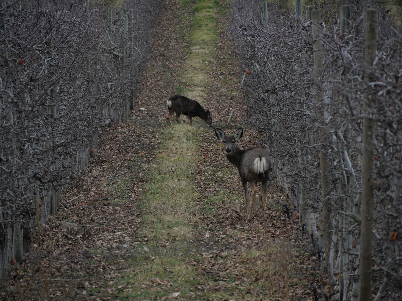
The deer aren’t in the best of shape.
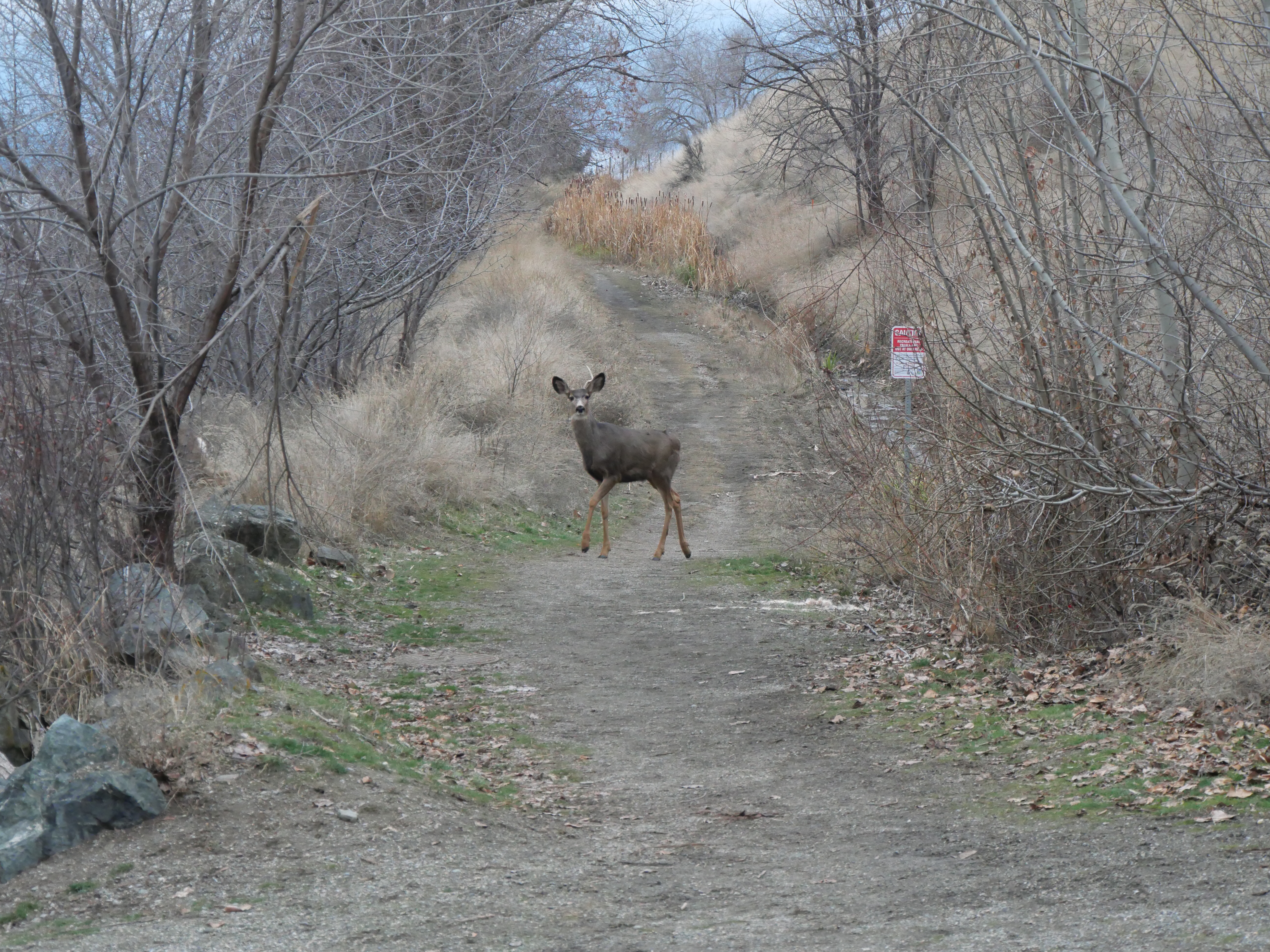
Just one antler, buddy? Ouch.
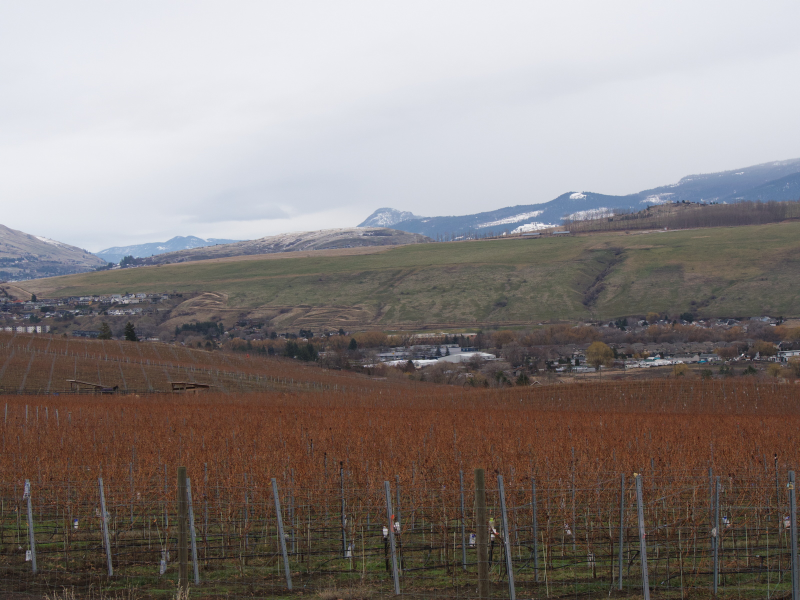
Nor the vineyards.
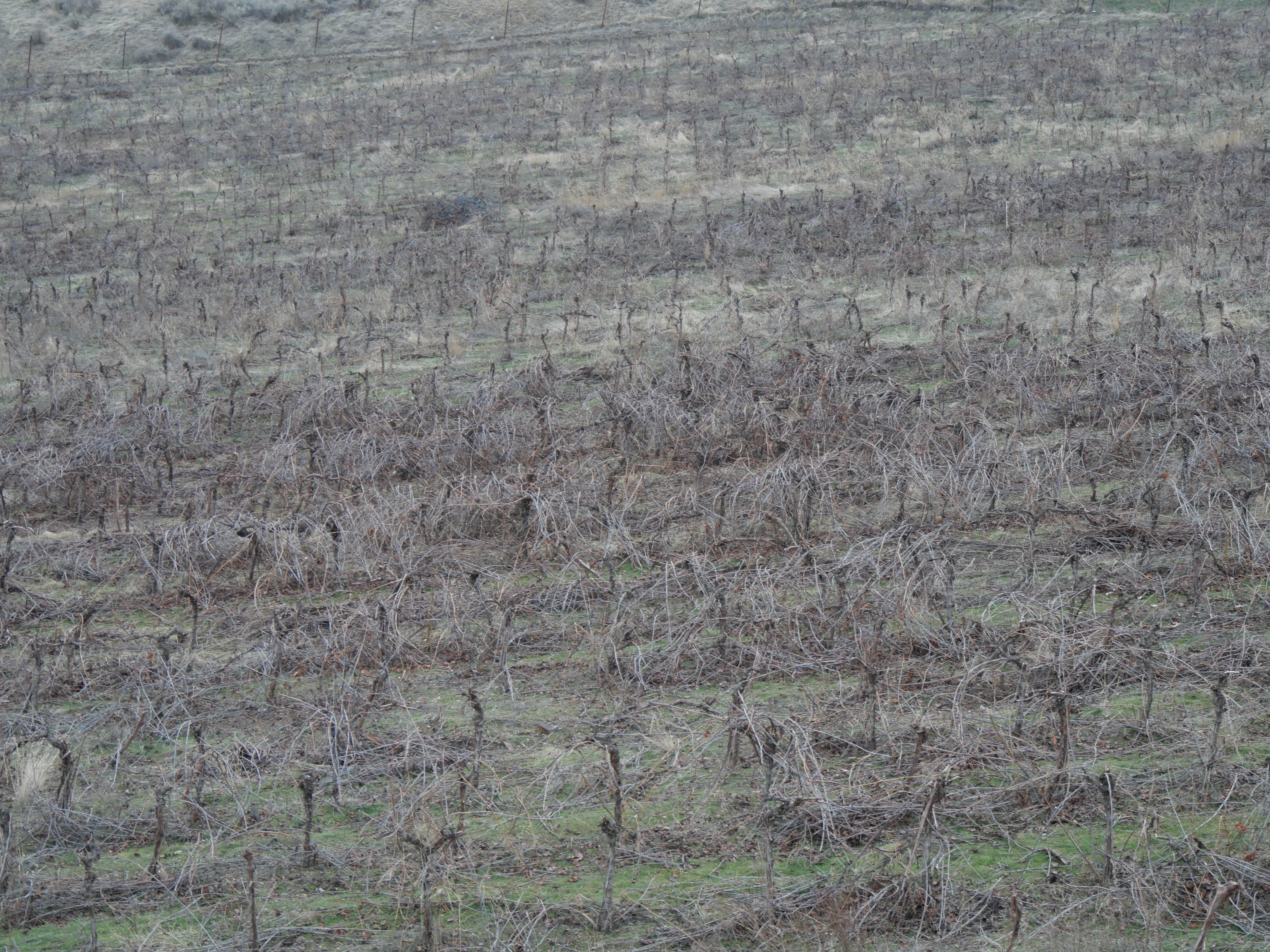
Planted to increase the value of housing lots. Now slated for more housing lots.
Nor the orchards. There is a bit of crisis going on there.
Note the deer.
And the air has gone to hell.
It’s not a weather inversion when it is every day of the year. What it is is a weather system that diverges from inappropriate models that don’t fit the climate.
That is a consequence of developing a mythology of science that doesn’t fit with local conditions. You’re going to be making bad decisions and then are going to have to explain them away to keep a straight face and protect your investment.
Cough, cough.
You can’t, however, fence the world out from the world.
It won’t stand for it.
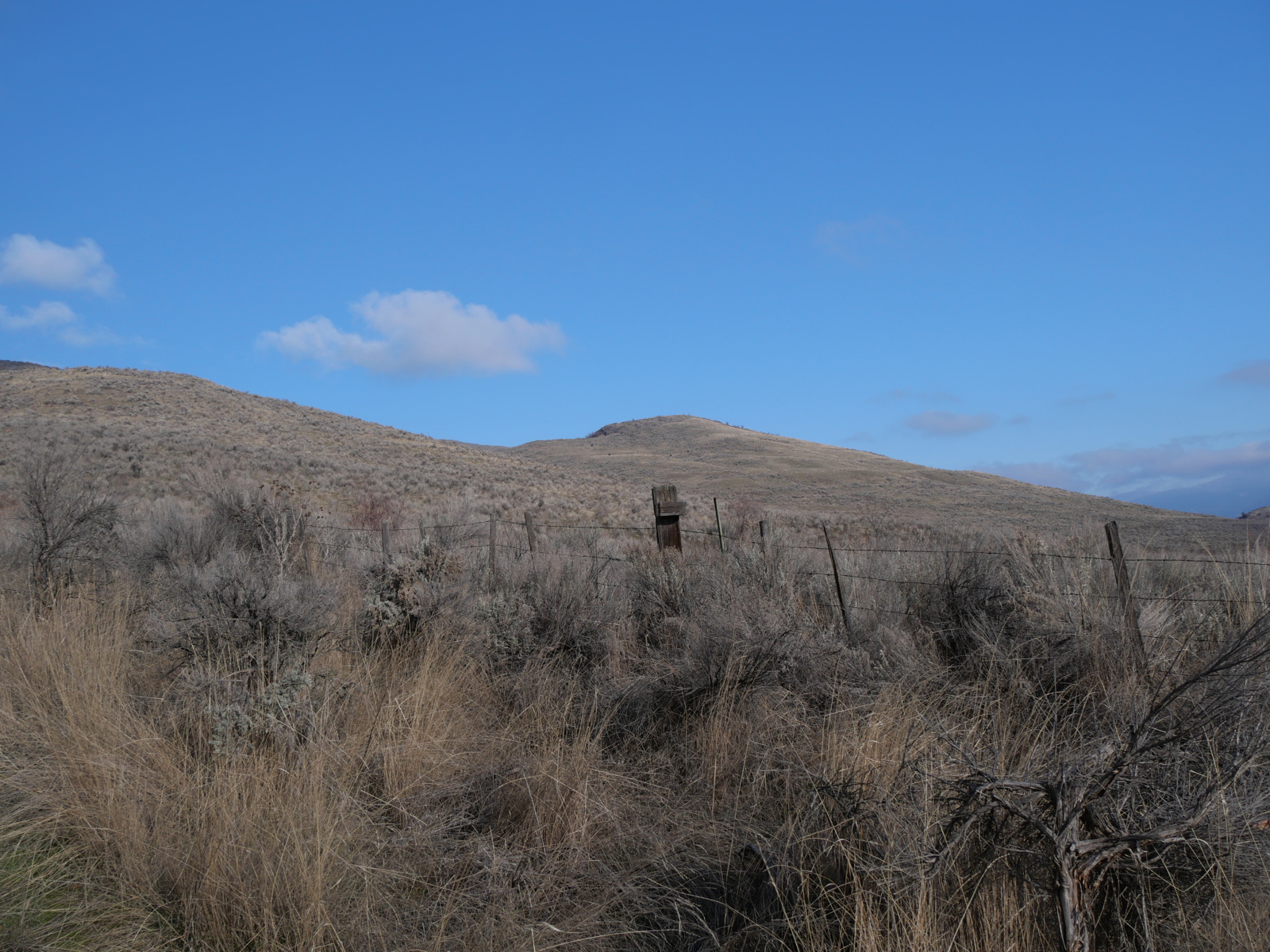
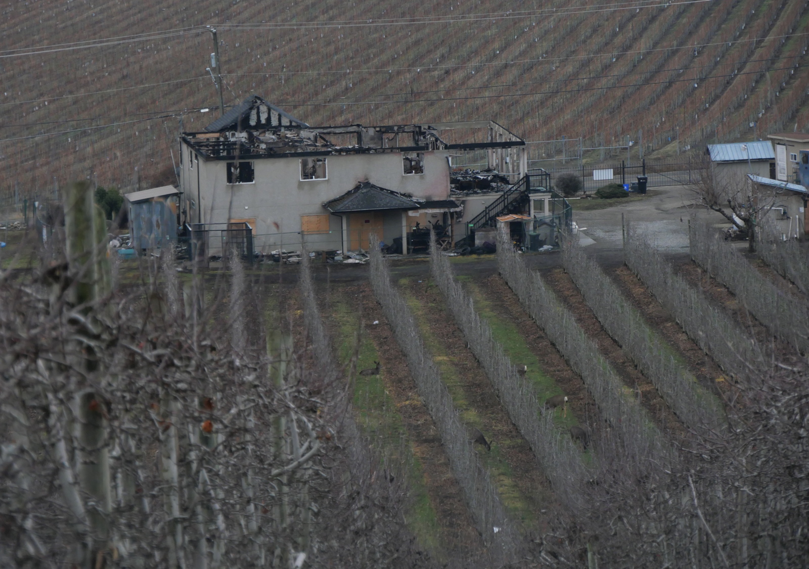
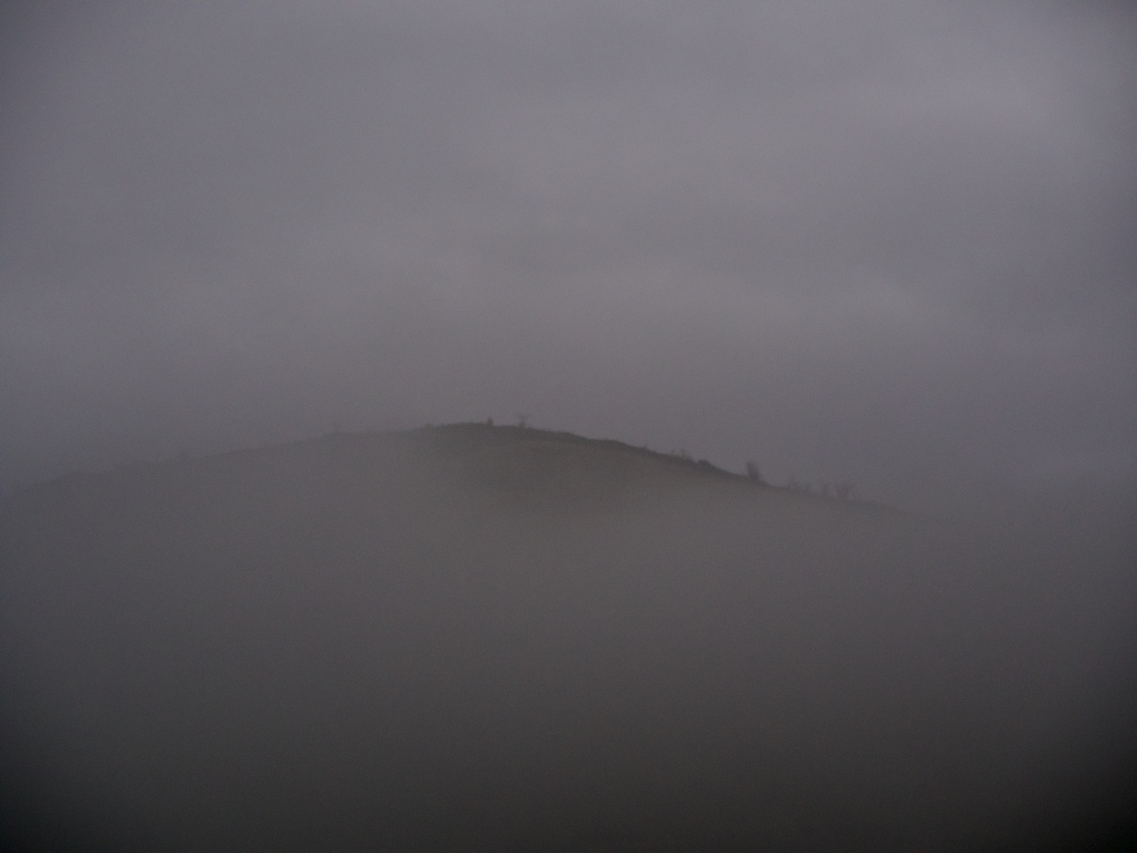
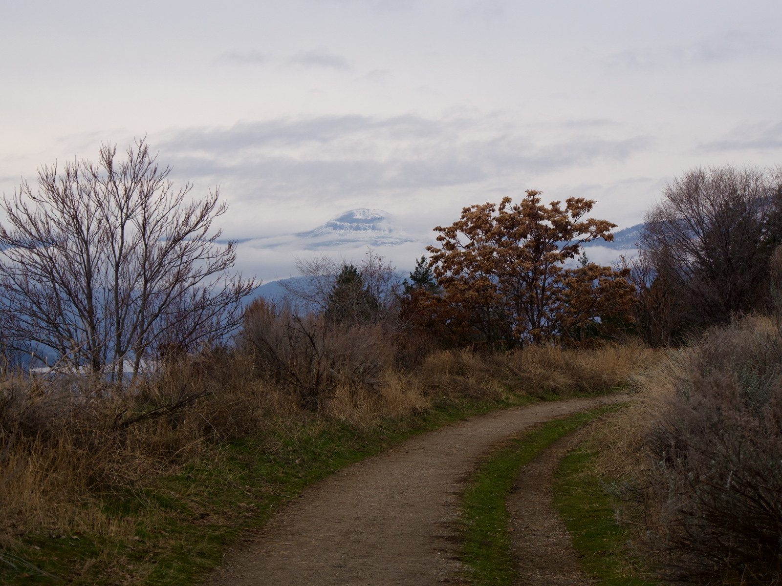
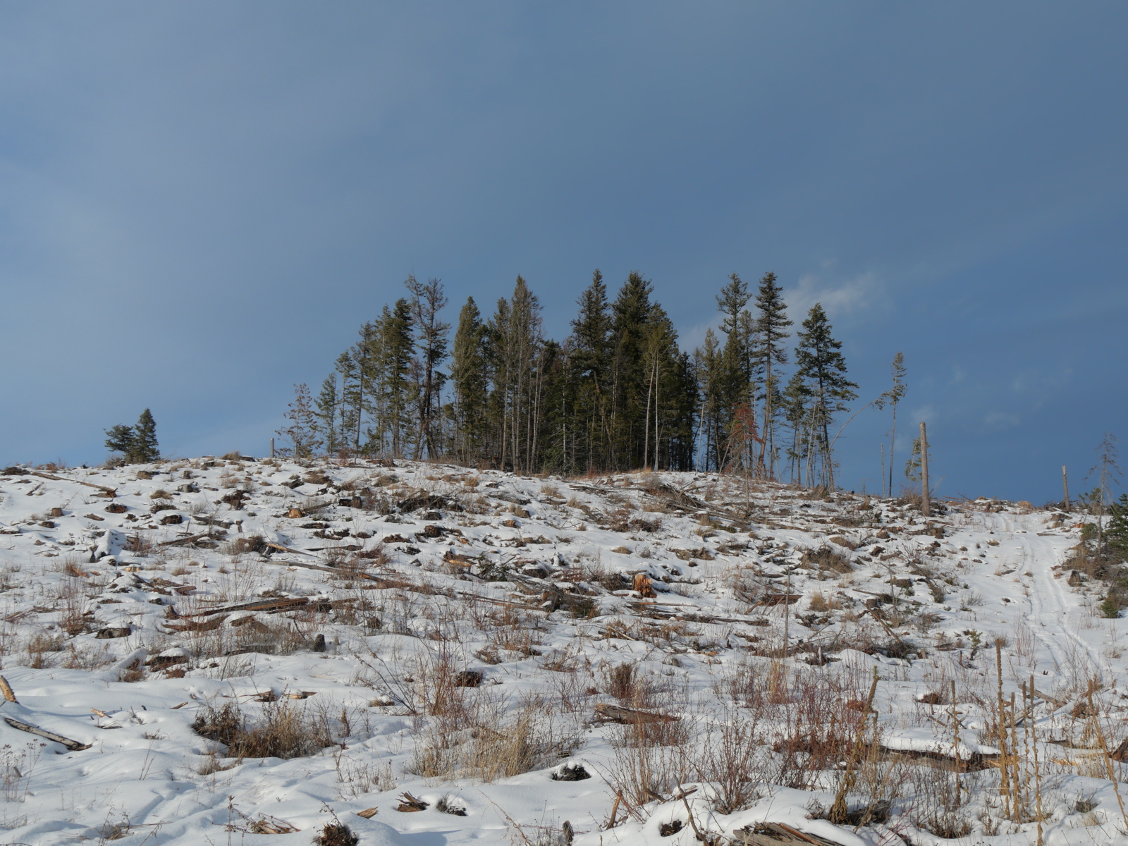
The romance of living at the boundary of worlds, and its costs, are also the consequences of land use decisions. The image below is too.
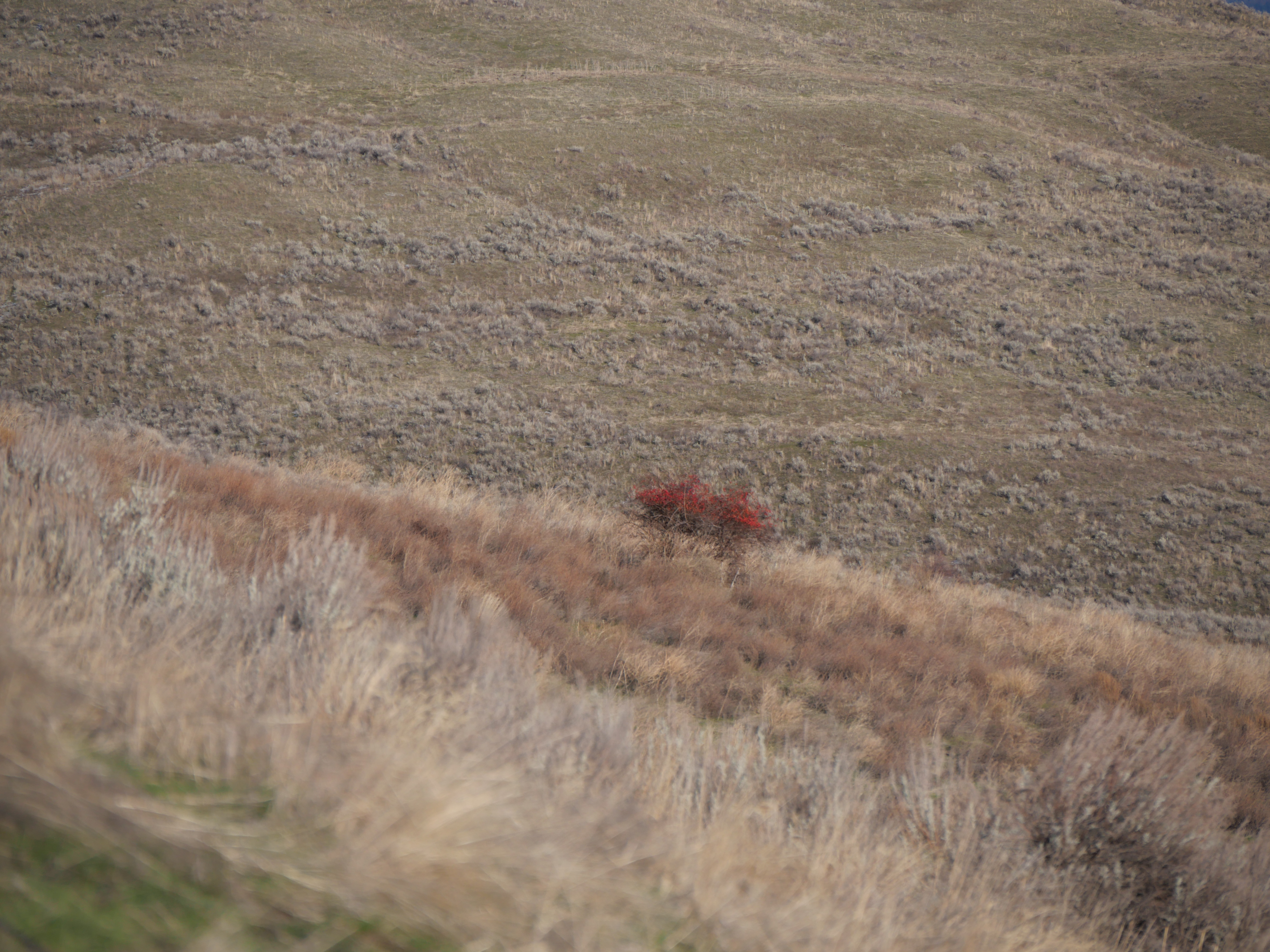
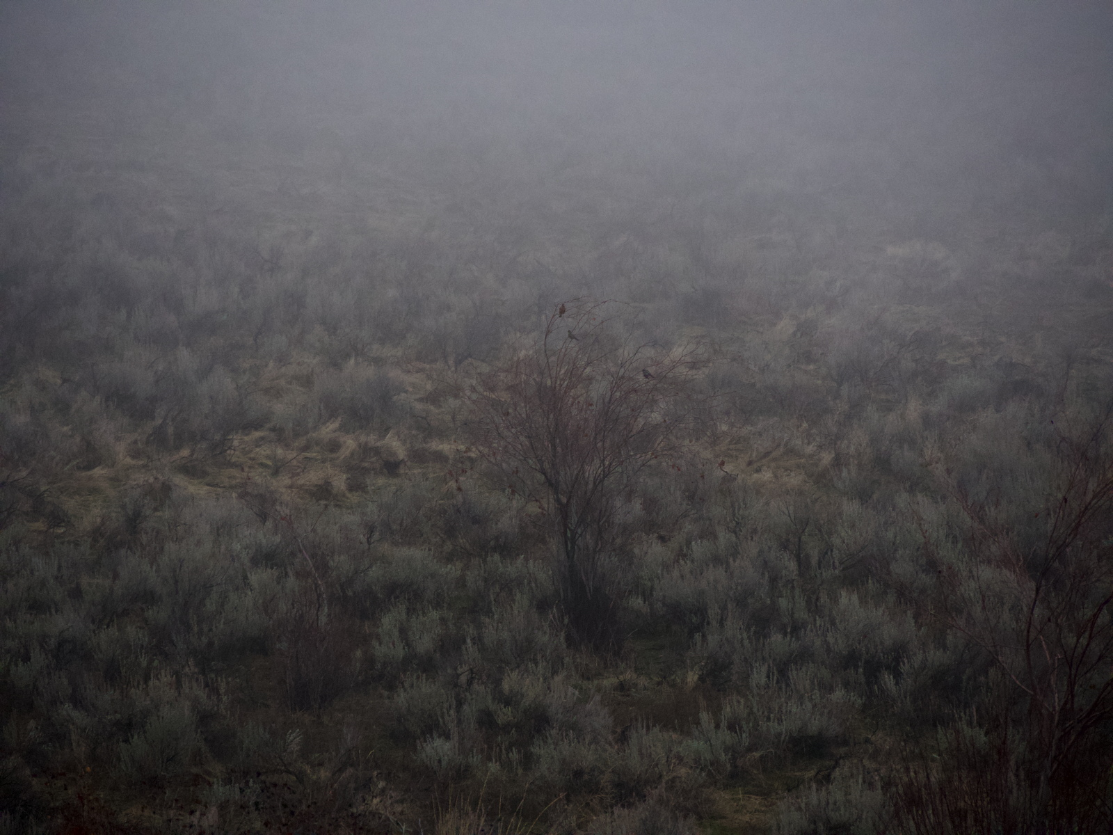
The land in the foreground above is healing itself after being cleared for a vineyard that was never planted.
Pretty great for some people.
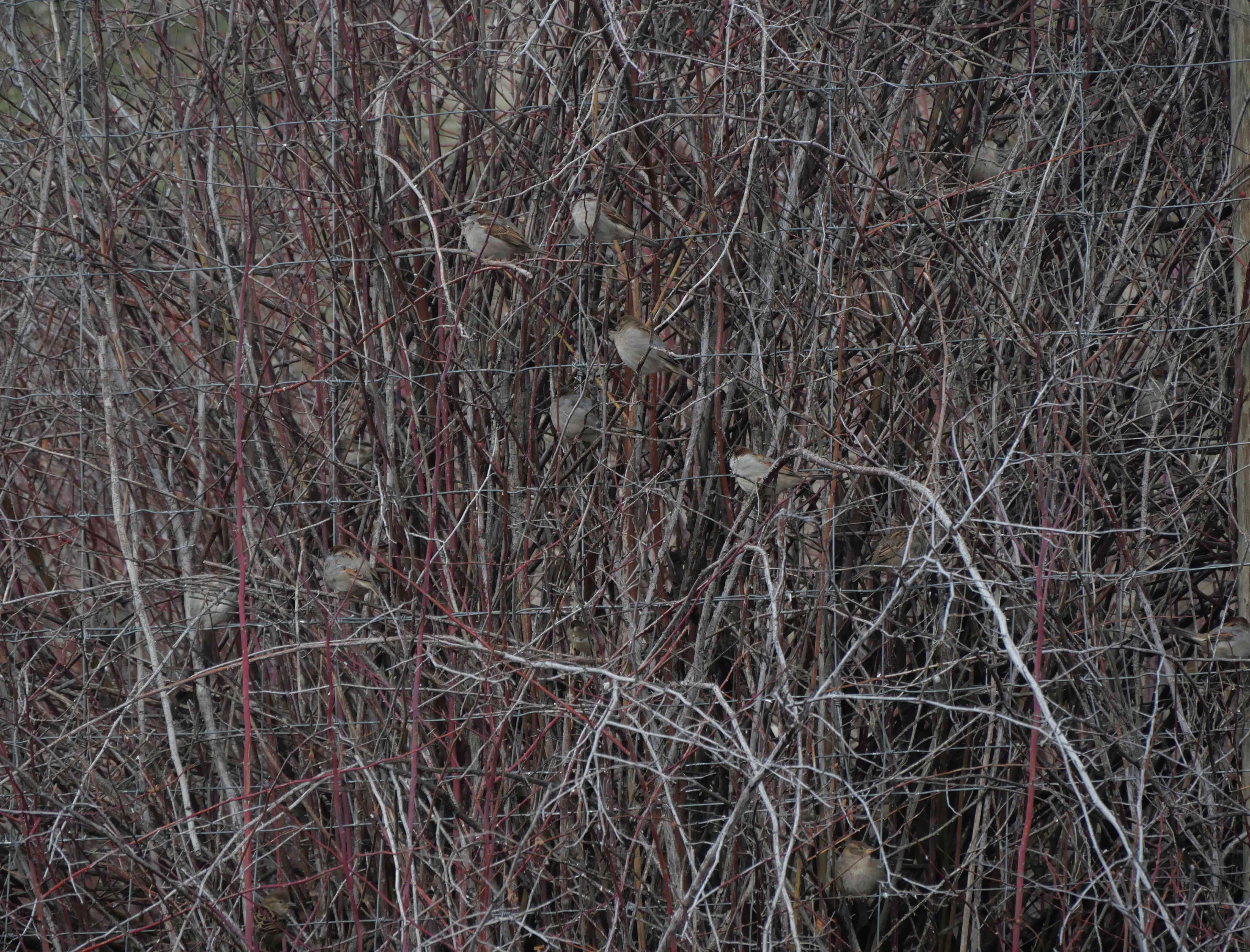
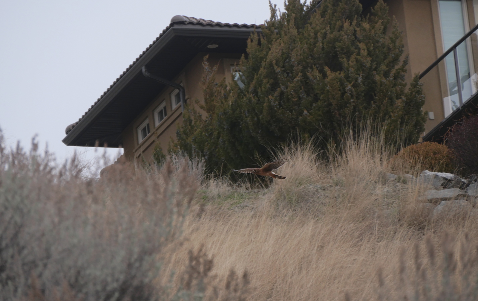
Birds aren’t just pretty. They maintain the landscape. For that, flowers are essential. Not weeds.
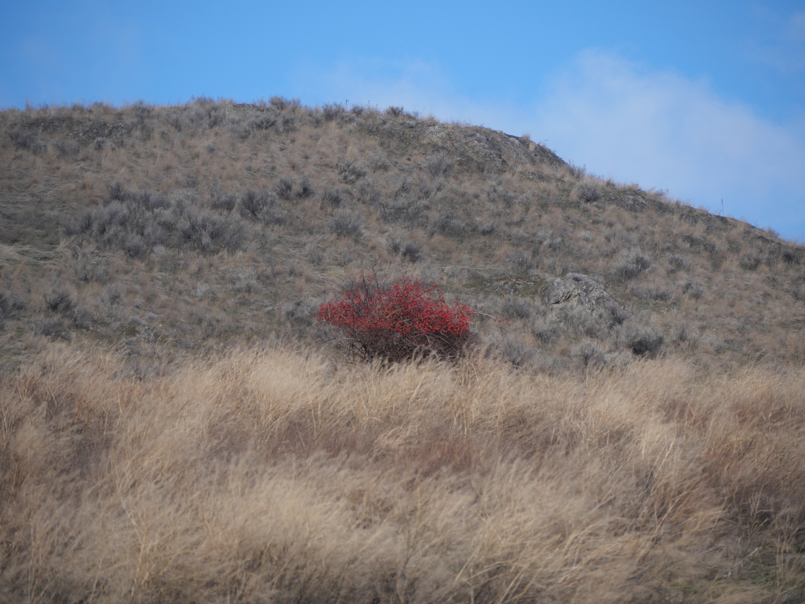
The land in behind breaks the myth of sight and vision which underpins the myth of the “beautiful Okanagan Valley.”
Although it is doing its real work even now.
The food chief Siyaʔ keeps robins close through what is known as midwinter. Even though it isn’t winter.

While the sagebrush is preparing for fire.
A native plant that becomes overgrown and fire-ready when overgrazed by cattle, until the land can hardly support any cattle at all and then gets sold for houses, to preserve its “value” for its “owners.” It can only support six cows now.
After it burns, it will support birds again.
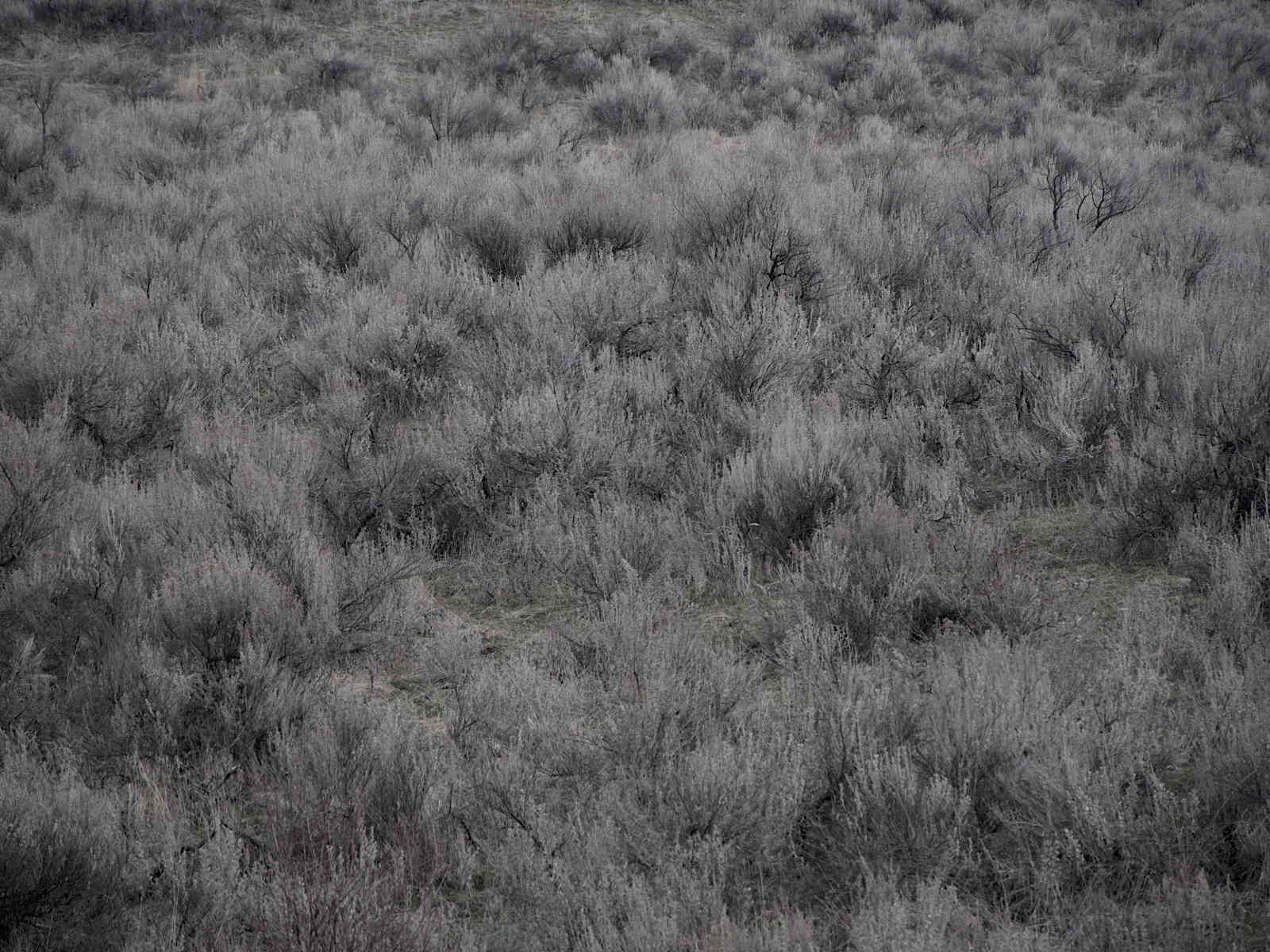
And yet the land is still showing us the Syilx world that survived here for more than British Columbia’s two centuries.
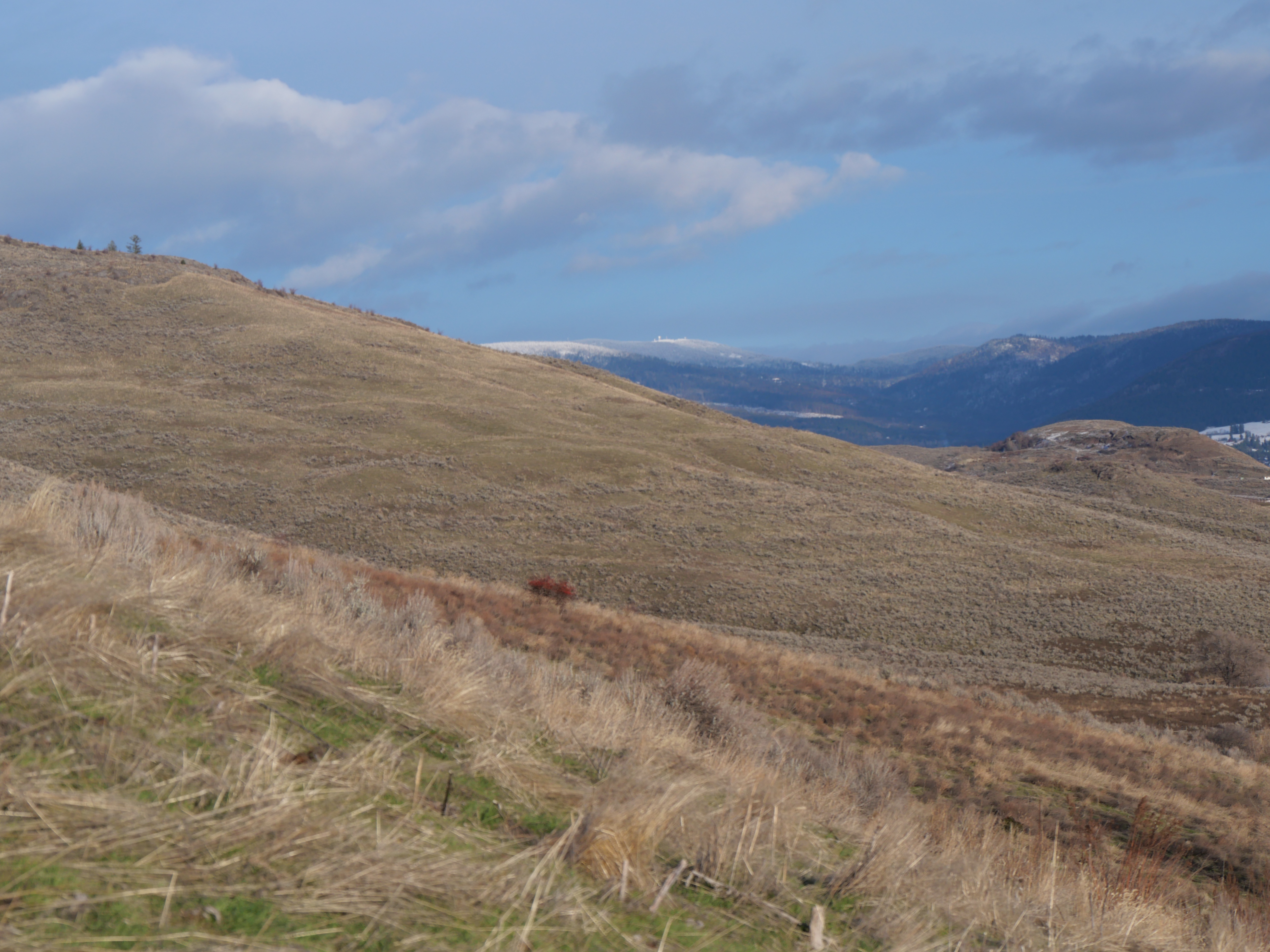
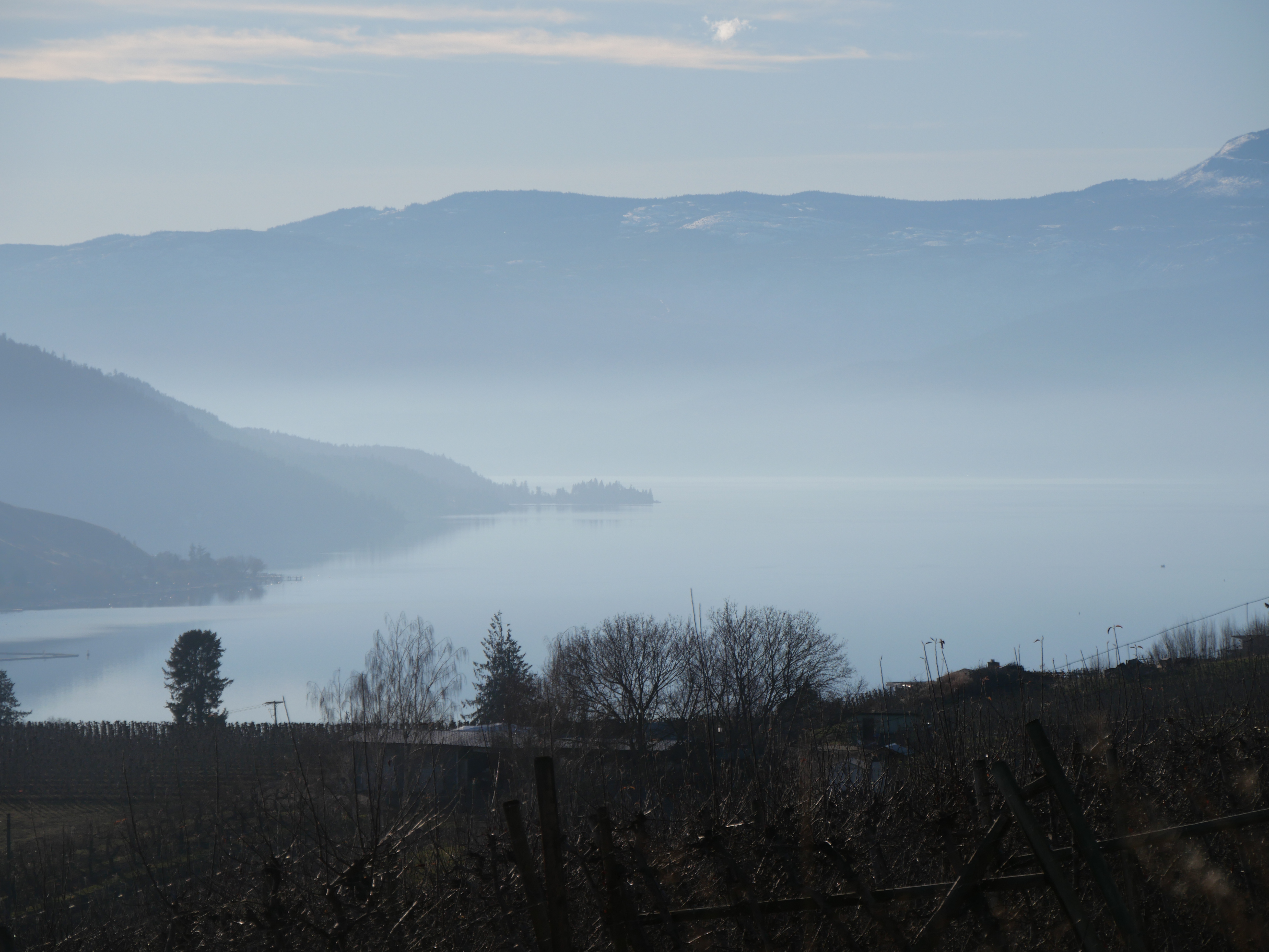
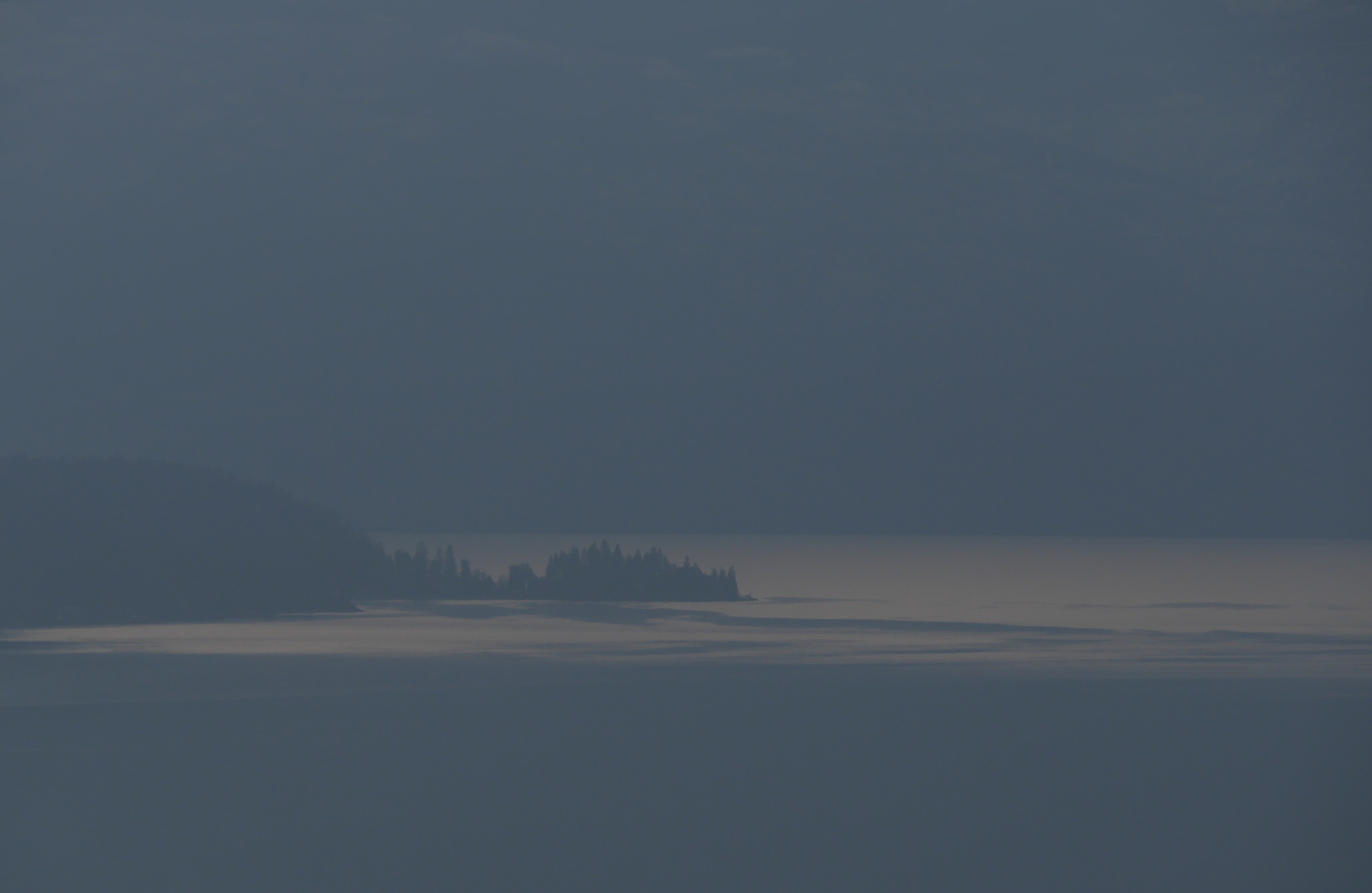
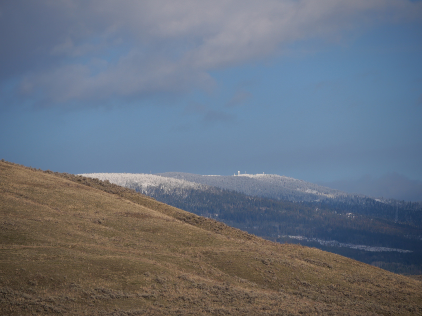
The cheat grass in the foreground is a sign of drought. Keep your eye on the snow.
When the syilx had full political and social agency in this, their homeland, they lived in all of it, shifting their work places to areas where water and sun were at their peak productivity at various times of the year, as birds do now, spending their summers in the mountains and their winters in the dry grasslands. Deer move up and down slope, too.
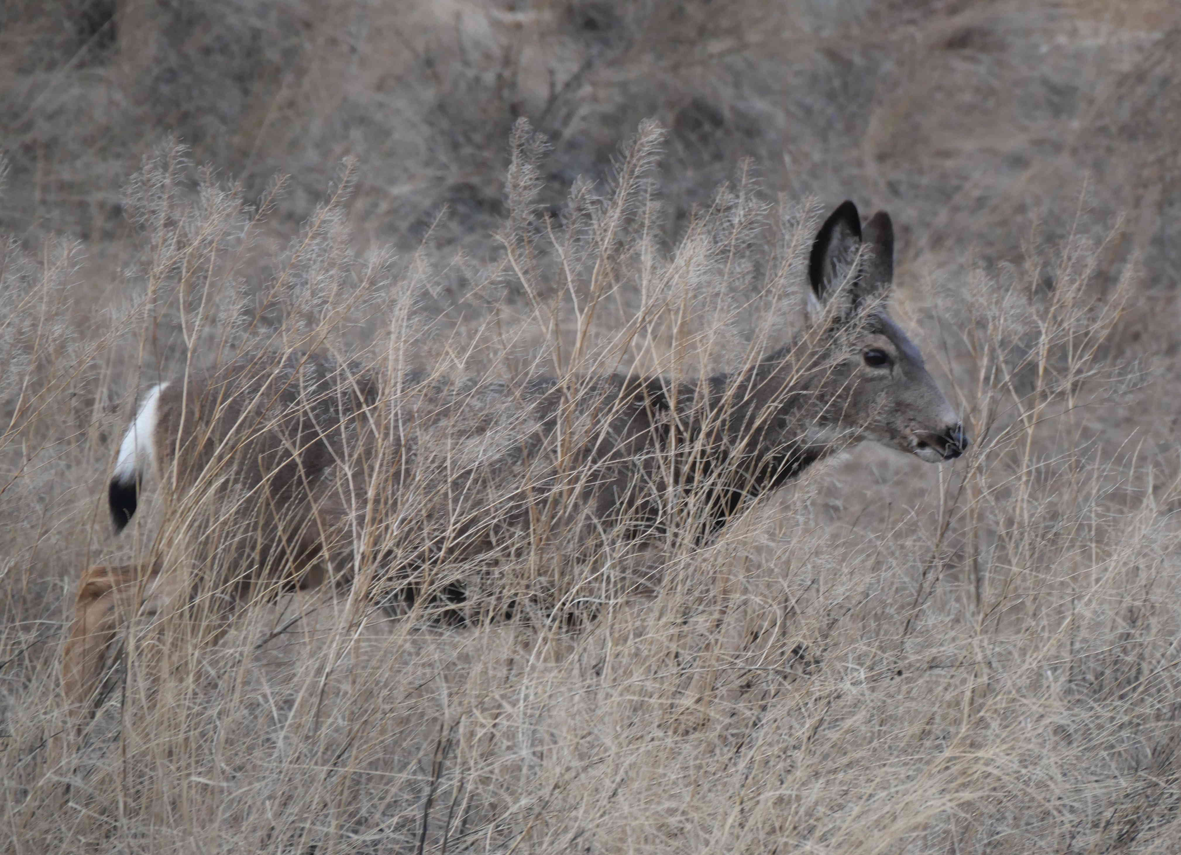
They’ll be heading up out of the grass (well, weeds) soon. That’s a far cry from settling in a place and then attempting to engineer the landscape to fit it.
The former Grey Canal, which brought water 30 miles from the mountains into the grasslands.
The orchards of a 125 years ago are being replaced by houses now, and, because of a shortage of water, their gardens with rocks.
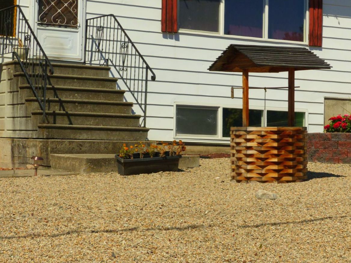
This is not environmental responsibility.
In the end, along with cattle ranching, rockscaping kills the environment that makes the climate livable. In short, in an environment such as this valley, low altitude creates drought. This year, there hasn’t even been any winter, so the drought is starting even before spring. In conditions like that, our engineered landscapes have very little resilience. It might be the hills that capture and hold water…
…as I have been showing you all of January, and it might be in a normal year that 45% of that water evaporates as soon as it is brought down off the hills, but this isn’t a normal year. If a society is to survive here for 8,000 years, not just 200, it has to be able to live in abnormal years.
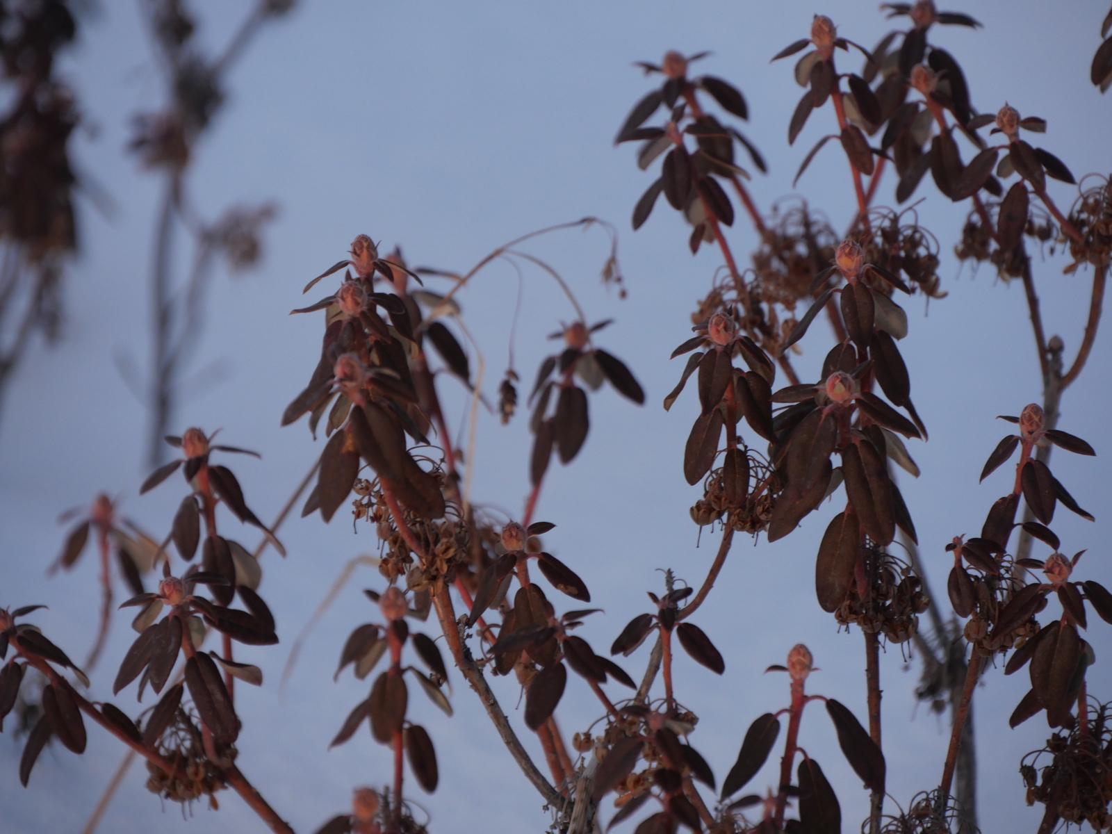
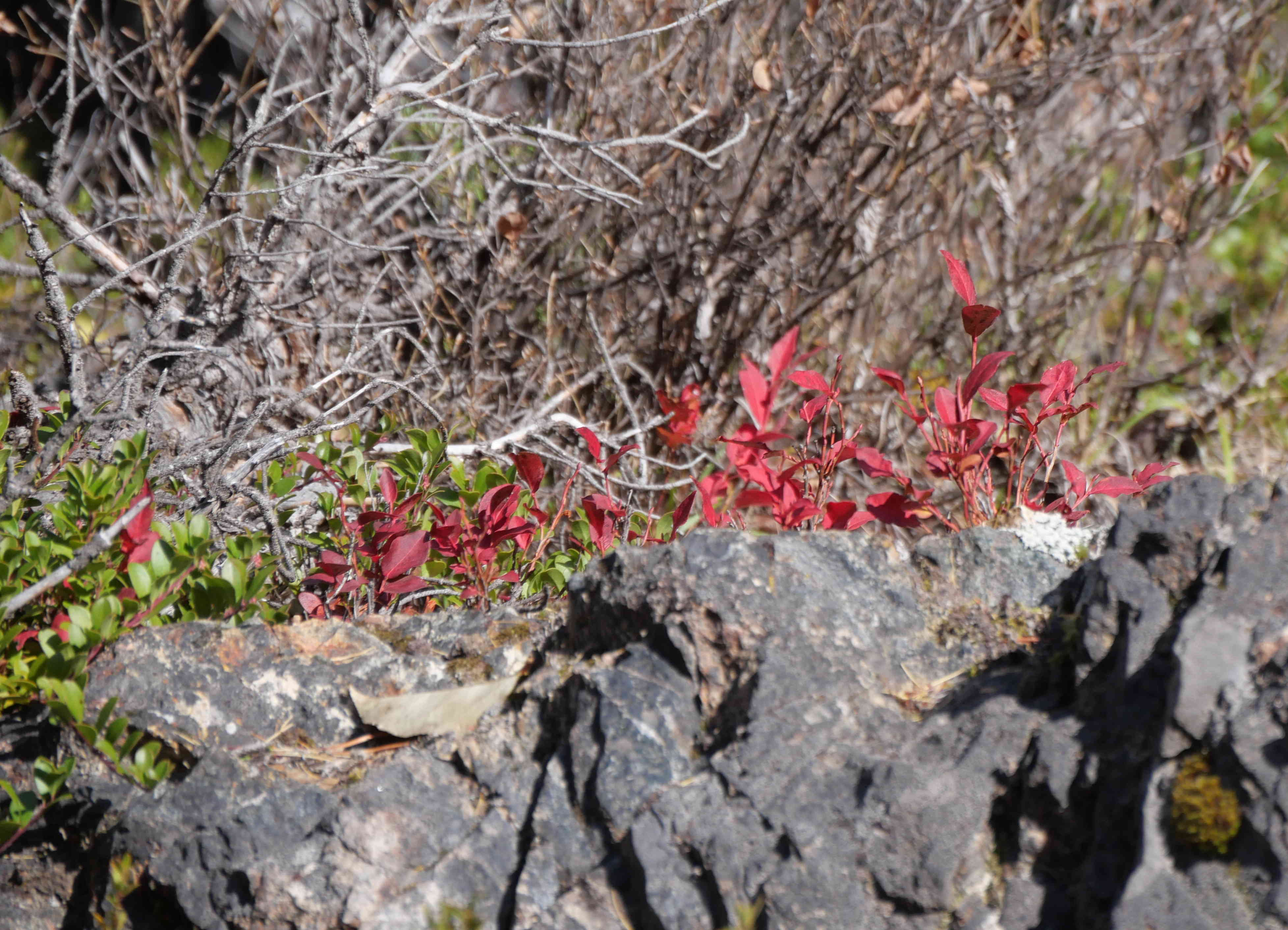
Labrador Tea in the Snow at 1100 metres.
In terms of survival, altitude matters. The lowlands are not just a place for the comfort of summer warmth, and winter warmth when lucky, and the high country is not just a place for recreation in the snow. They are important because they provide the resiliency in landscape that leads to long-term survival. It’s not that the high country is not a sustainable place for food production.
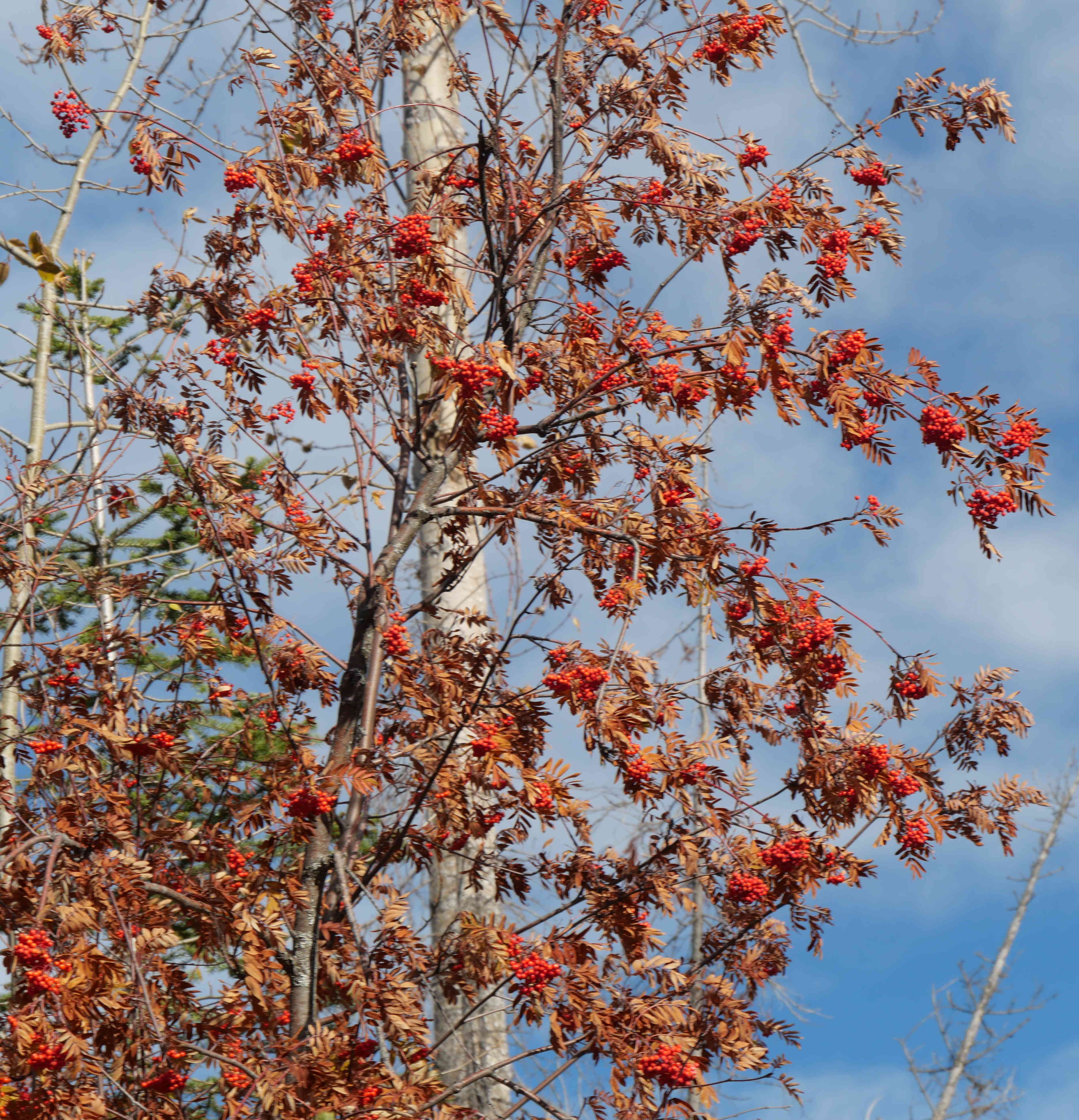
If mountain ash can grow there, so can apples.
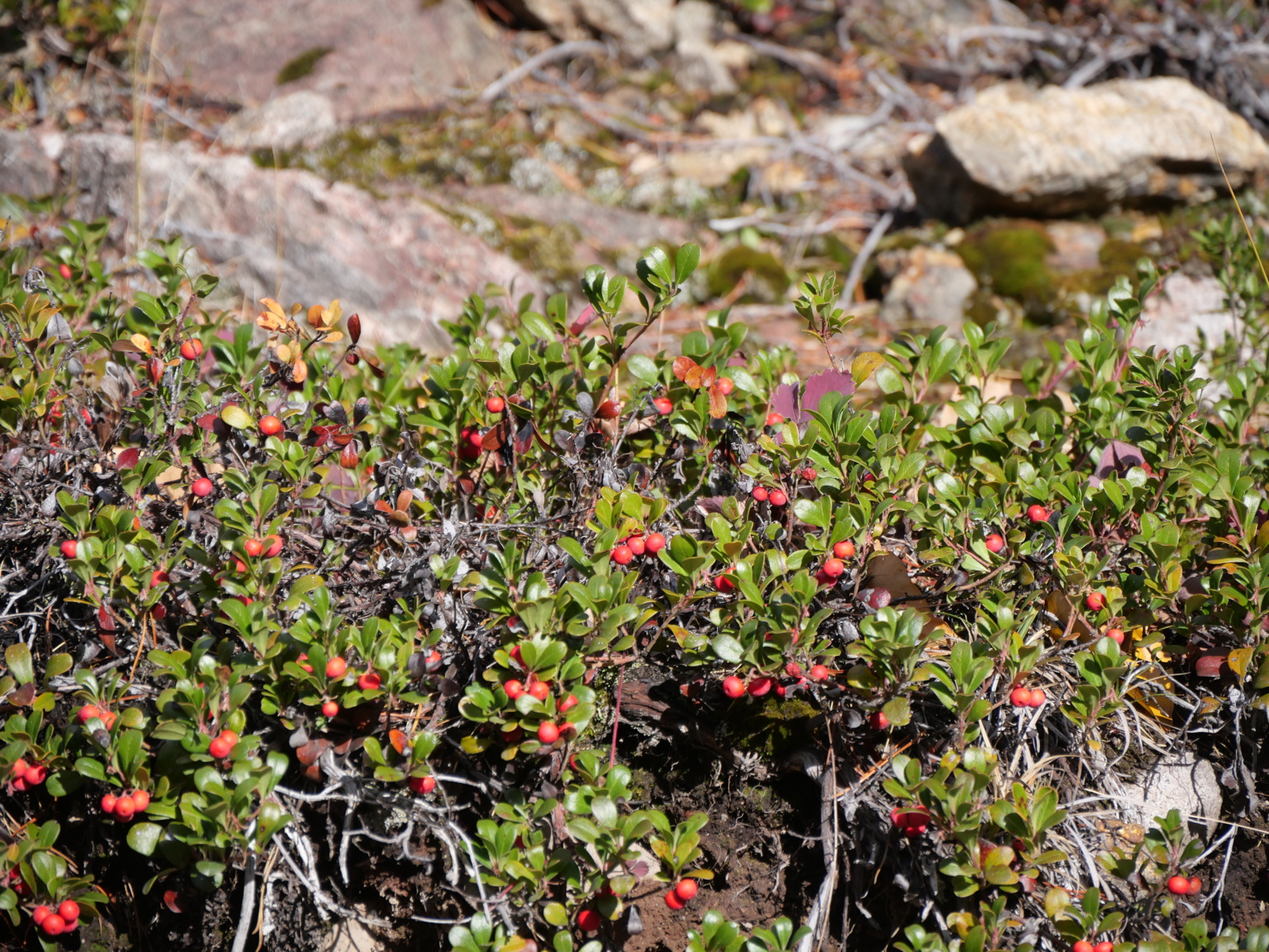
If kinnikinnik can grow there, so can other berries.
If choke cherries can grow there, great. They are a commercial crop, suitable for preserves and cider.

And let’s not forget strawberries.
One of the things that Indigenous reconciliation means is to return social and political agency to the Indigenous people from whom it was stolen, to the detriment of land, water and all the people, not all of them human. Another thing that reconciliation means is to incorporate not just Indigenous society but all society with the strengths of Indigenous land use protocols, for reasons that include the truth that they match the land. Reconciliation means is to use the entire landscape in ways native to it, because the view in the next image is neither reconciliation, sustainability, health nor beauty in any way except ignorance and fantasy.
In part, it’s greed. In part, it’s a problem of land use.
High-evaporation water in the vineyard on spring slopes meant to give early cops, human housing in the wetlands that are the life and balancing mechanism of the entire system, preserving water across the seasons, treated sewage water to pasture cattle on the slopes, and watersheds in the high country serving this flow-through and evaporative system.
There is room for reform. In my next post, I’ll talk about moving into the entire depth of the system, from 350 metres altitude at lake level to 1900 metres at the peaks, using each level for its appropriate purpose. We can’t keep adding stress to tiny 160-year-old subdivisions. That’s over.
Categories: Agriculture, Atmosphere, Cascadia, Earth, Earth Science, Endangered species, Erosion, Ethics, fire, fire gardening, First Peoples, food culture, Gaia, Gardening, Geology, Global Warming, Grasslands, green technology, history, Indigenous Farming, Industry, Innovation, invasive species, Land, Land Development, landscaping, Nature Photography, Open Agriculture, Other People, Pacific Northwest, Recreation, Science, Urban Okanagan, Water, weeds


Thank you for this post. I visited Kelowna last fall and was discouraged as to just how uncontrolled the growth and development are. It seems that the ‘city’ is out of touch with the land and, as you point out, headed for disaster. (If I were younger I’d love to work with others in restoring some of the slopes on the dry hills.)
Shalom/Salaam, Curt
LikeLike