


Here’s a pretty typical Cascadian road. It goes across the high prairie north of the Columbia River, but not to the prairie. It goes through it. On its way to somewhere else. It also tracks an old story, which is a road, too, which you can only understand by walking. That’s the story of Wy’east, who you can see, white-headed, in back.

Here’s another pretty typical Cascadian road. This is the road of the Similkameen River at Blind Creek. You can see Blind Creek Indian Reserve No. 6 in the foreground and the colonially-named Puddin’head mountain in back.

Here’s the road descending from the old Fairview goldfields, into the reserve.
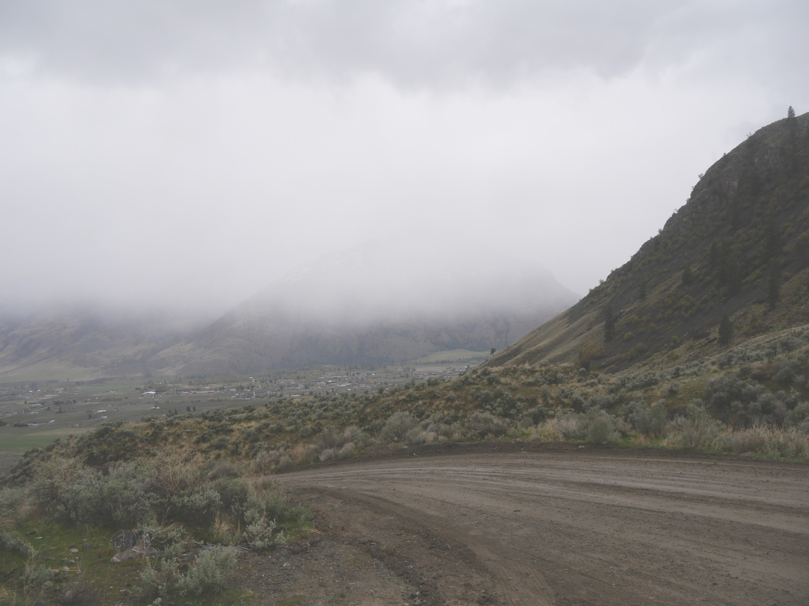
You can see, perhaps, that people have set a lot of houses and farms down in the river’s road below.
Here’s another pretty typical Cascadian road.

This is the path of the sun, above Lake Lenore. Now, it might be asked, “What kind of road is that? Roads go somewhere! Traffic goes on roads!” That’s a good question, that gets at the heart of where we’ve all gone wrong in Cascadia. Humans go somewhere. Deer go somewhere. Roads are records of passage that can be followed again. If your memory of a place is a story, which includes the 6,000-year-long human memory of Lake Lenore on the trail down the Grand Coulee (the view here is from a rock shelter big enough for an entire village, that has been used at least that long), and if that story is continuous, then, yes, this is the sun’s road. Here’s another road, or story, of that kind:

This is an image of Okanagan Mountain. The spirit of the lake, nx̌aʔx̌ʔitkʷ, lives off the point. It’s an old story, which fits with weather patterns and people and much more, but for now just look at the mountain that has forced the lake to bend around it. The lake that the syilx first came to as the glaciers were melting covered the “park” in the foreground and most of the mountain up to the snow line. Over that span of time, the mountain has risen out of the lake, telling its story. Its body is its road. This image was made from a different road, called Highway 97, which follows the road that Hudson’s Bay Company pack trains followed on their way between Fort Okanogan, at the confluence of the Columbia and Okanogan rivers, and Fort Alexandria, on the Fraser River, south of the pulp mill city of Quesnel. Just around the bend of the lake, behind the mountain, this road spills through a congestion of traffic called Kelowna. Here it is:

As you can perhaps see, it is less a road than a parking lot for cars and people. It doesn’t go anywhere. It is a stop on the road. Luckily…
…someone with a spray can has pointed out the obvious. What a protective space. Perhaps you can see why the term “settler culture” has not gone out of fashion. The settlement is going nowhere, at least nowhere on the old roads, such as this other pretty typical Cascadian road:

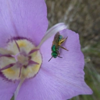
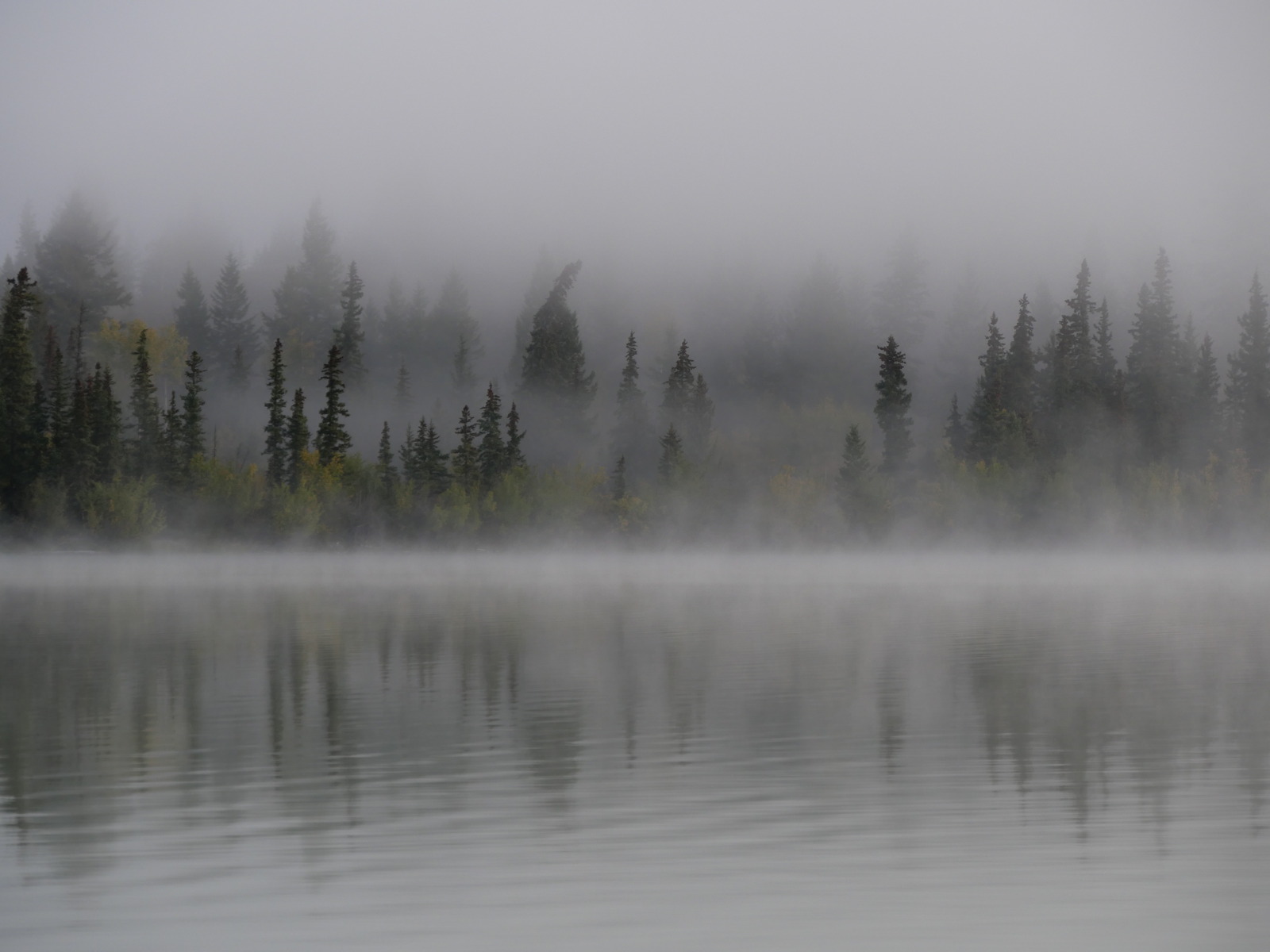
This vertical road is in the White Lake Grassland. Water and stone follow it every year. The mountain speaks them. The trees receive. Much like the following Cascadian conversation. Scroll down through it. It opens in three parts. First, dawn.
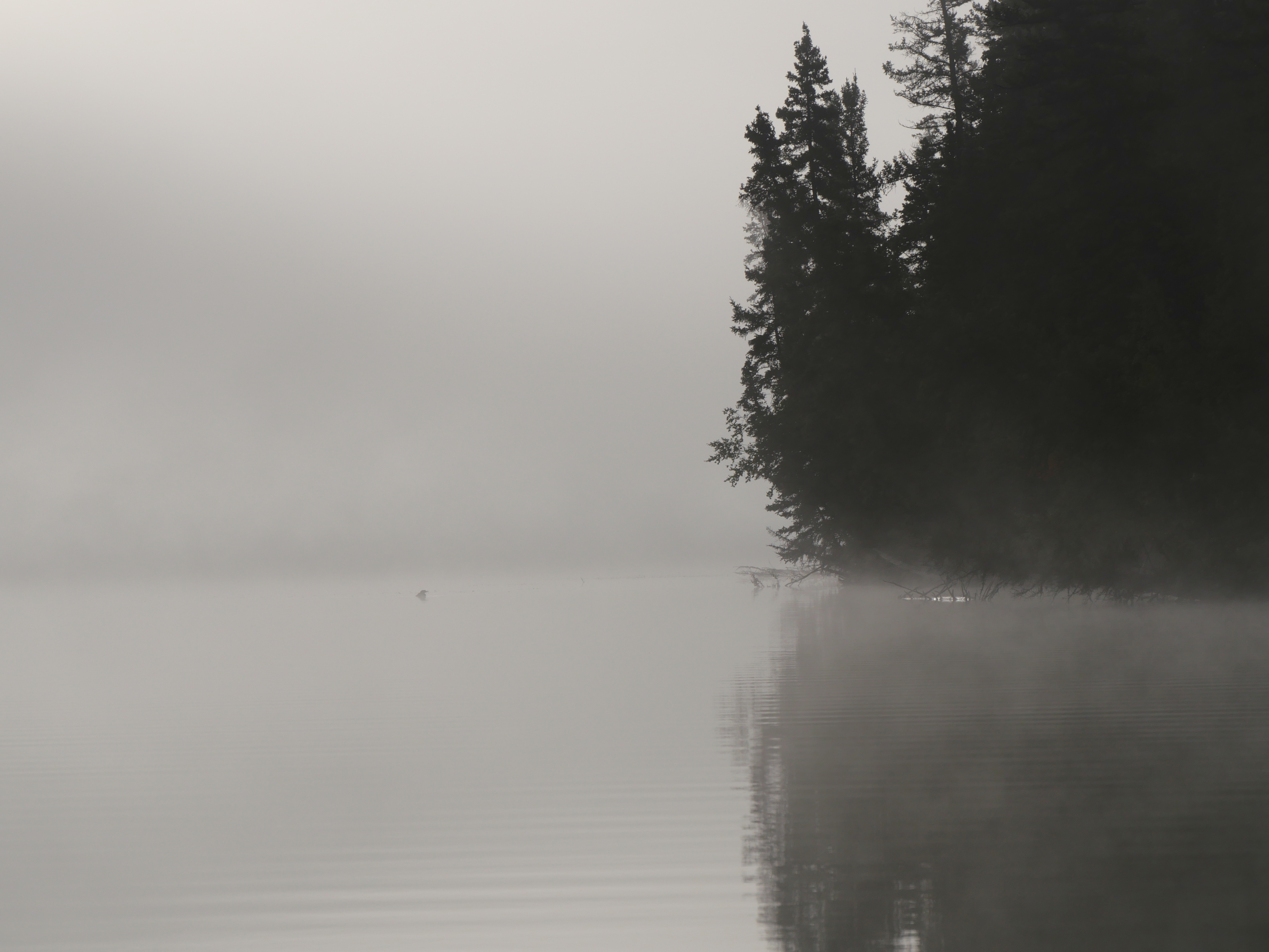
A spruce tree and a loon in conversation on the road of the morning sun at Big Bar Lake.
Next, sunrise:

The sun opens the lake by driving off the lake’s night breath. Only light moves this cloud. This is the road of the sun, as much in the mind as the loon and the spruce in the dawn.
Next, the cloud sits among the trees for a few moments. They catch it.
The conversation continues in a blue sky, and all of it in the path of the sun. To quell any confusion, any thoughts that roads like this go nowhere, ah, here’s another Cascadian road, again pretty typical:
This is an old story in Nlaka’pamux country. It is also the road of rock and water telling their story, and followed by human readers since it began. Notice as well the deer road cutting across it from just right of centre bottom to middle left. A road intersection, in other words. Here’s another road intersection, this one above Canim Bay in Syilx country.

The people on the lower road were so busy talking with each other that they didn’t notice they were blocking traffic. Not just that, but here’s a part of road intersection that has been removed by cultural possessiveness:
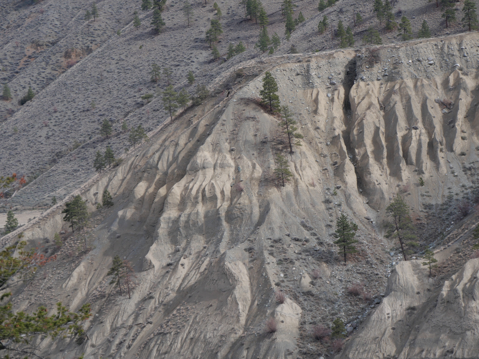
This ancient part of a story below Rattlesnake Woman’s rattle in Nlaka’pamux country has been hammered away by some collector forcing his or her way into the road and leaving emptiness behind. My point is not to be poetic here, although I’m using the tools of poetry. My point is that if land use errors are going to be corrected, we have to understand the relationship between roads, intersections, settlements and the kind of stories that come from being at home in a place. In that light, here’s a road I showed you a few days ago on the North Aberdeen Plateau.
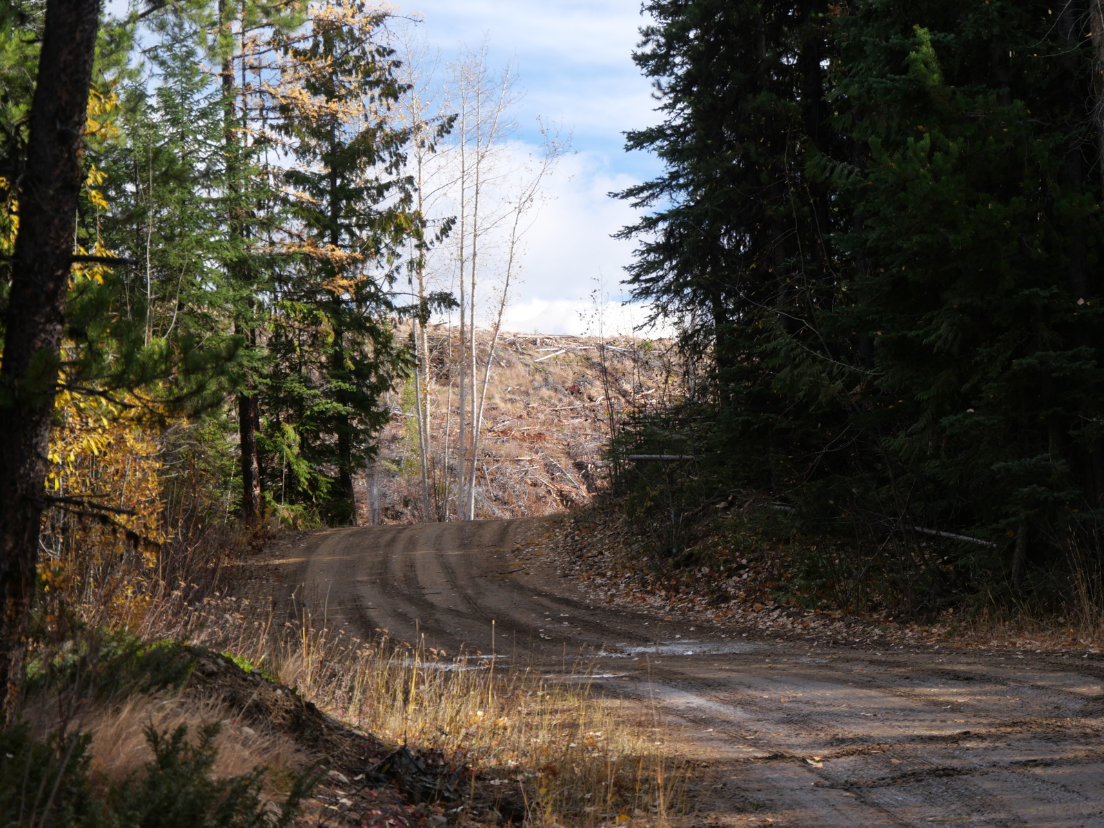
It is a story of land and water and their transformation into an economy, poorly, which is to say without integrating Indigenous and settler frames of mind, which is to say preventing the integration that would allow the road to be a part of this place and to go somewhere other than a clearcut and the blind trust that the forest will regrow:
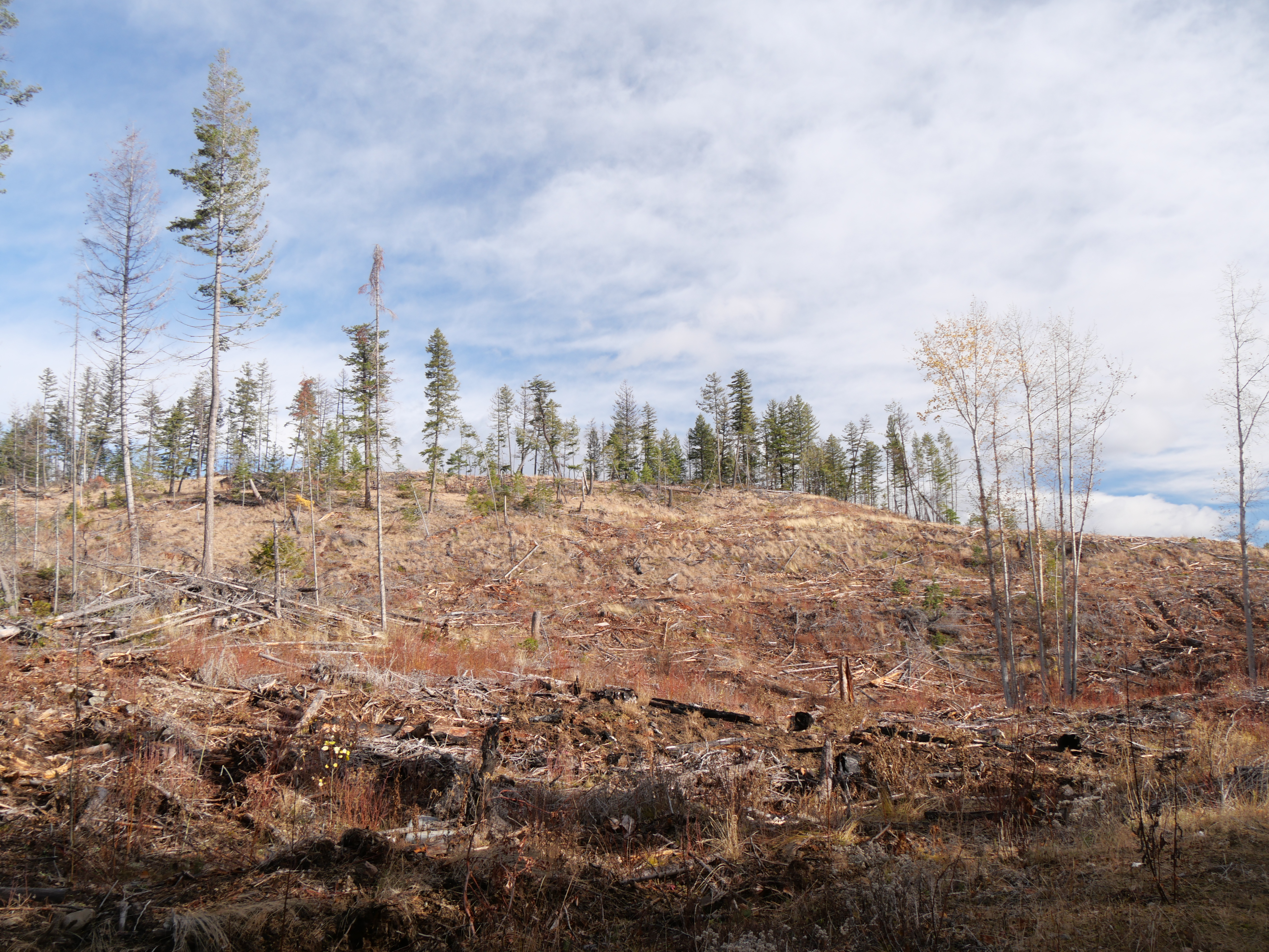
Coupled with bewilderment when fire comes.

Nlaka’pamux Country
Fire follows its own road. If one reads the roads of rock and water, one would know those roads and not consider fire wild. The kind of roads that are a story between humans and landscape has been replaced with create dependance, and are kind of deep with ruts, to boot.

A cow and its road in the Secwepemcúĺecw north of the settler community of Cherry Creek.
I promise, when the fire takes this sagebrush, the result of cattle such as that one above overgrazing the land, the fire will be called a wildfire, and fire’s long-overdue use of this careless extension of its road will threaten the City of Vernon, and my house.

It’s about land and water and people, of many species, in a place in which landscape is itself the road. I hope someday that this reconciliation will take place, because until it does we will remain in trouble, trying to be somewhere we are not. Next time, let’s look at the history of how we got here and what continues to stand in the way of what is so publicly on view yet strangely invisible, too. See you in Nlaka’pamux Country in 1858.
Categories: Agriculture, Arts, Cascadia, Earth, Erosion, Ethics, fire, First Peoples, Forestry, Gaia, Geology, Grasslands, History, history, Land, Land Development, Light, logging, Nature Photography, Other People, Pacific Northwest, Spirit, Sun, Urban Okanagan, Water, weeds


