


There is no need to think in straight lines. Lines like that say “this stuff is land”…
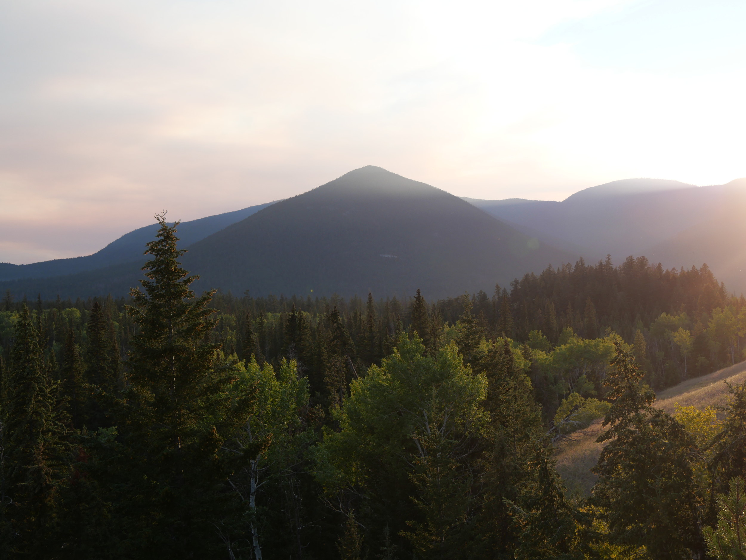
… and “this other stuff is water.”
That is simply a false division. There’s an old Smalqmex story told by Mary Narcisse, wife of Chukuaskin (an As’nola chief buried in a defaced grave at Central), that tells this land-water thing differently. It illustrates an important point about what a post colonial history might look like.
Here’s a hint at the story she told, as it was told to me.
Skulaxan: Ashnola Mary said the whole valley was a lake.
Harold: Where?
Skulaxan: From the mouth of the Ashnola to Chopaka.
Harold: Obviously. Right after the glaciers.
Skulaxan: No. Right up to contact.
A chat while planting strawberries… or was it garlic? Or raspberries? A lot of planting!.
That was the day I learned that time can’t be separated out from land and water , not when memories are long. The silt bluffs below are an old Similkameen lake bottom near Nighthawk to some, and a spirit cliff in a story of the ancestor Sen’klip to others, whose ancestors were likely around when they were formed — and remembered them in non-European ways.

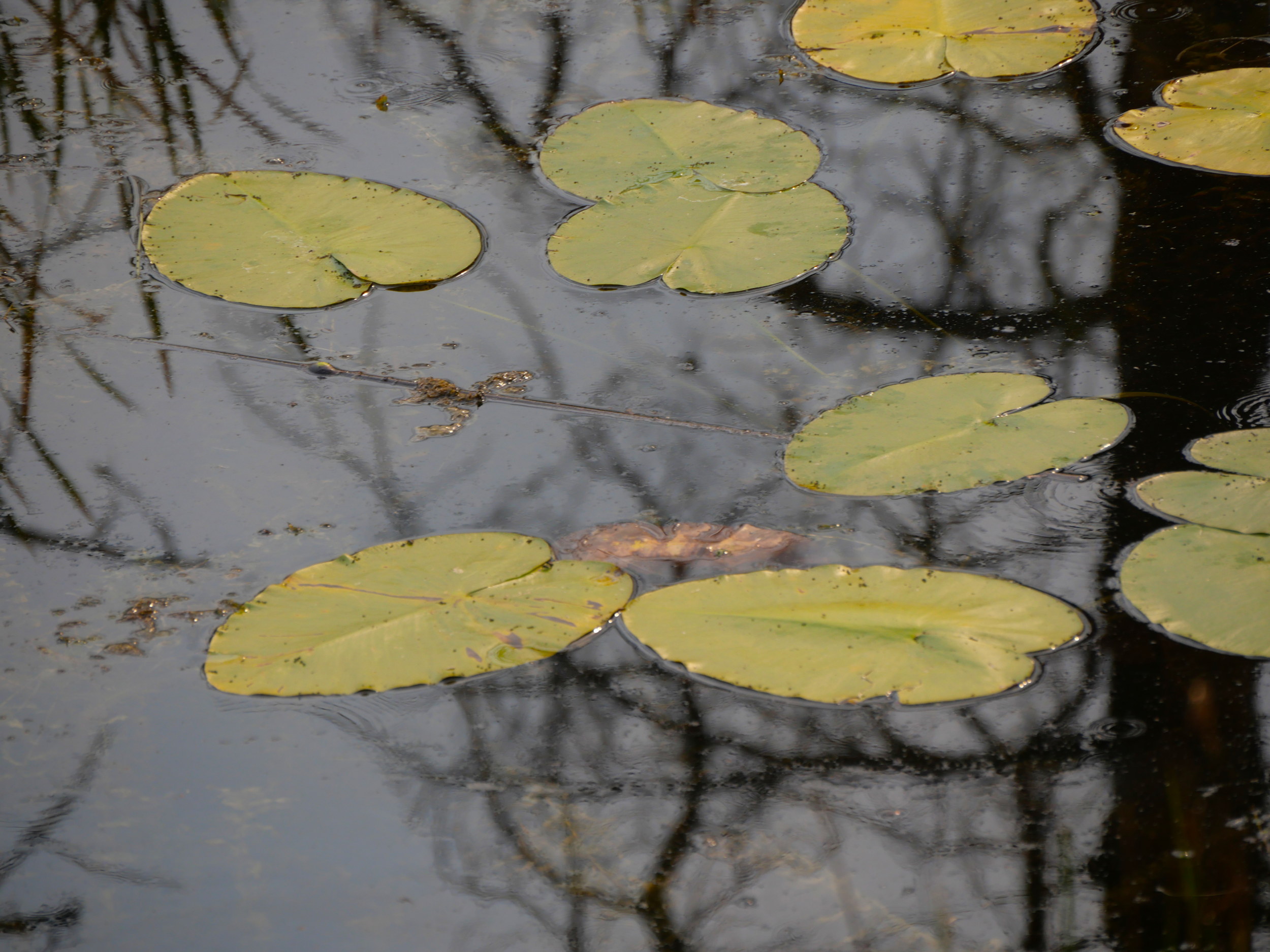
“Water” and “Land” are only separate for new arrivals, and, really, only because they are modern. Even for Europeans, a river bank is not, historically, land. It is a place of energy where the push of a river thrusts up. What a modern imagination sees as a shore, my European ancestors saw as a form of water energy. This principle applies to other bodies of water as well.
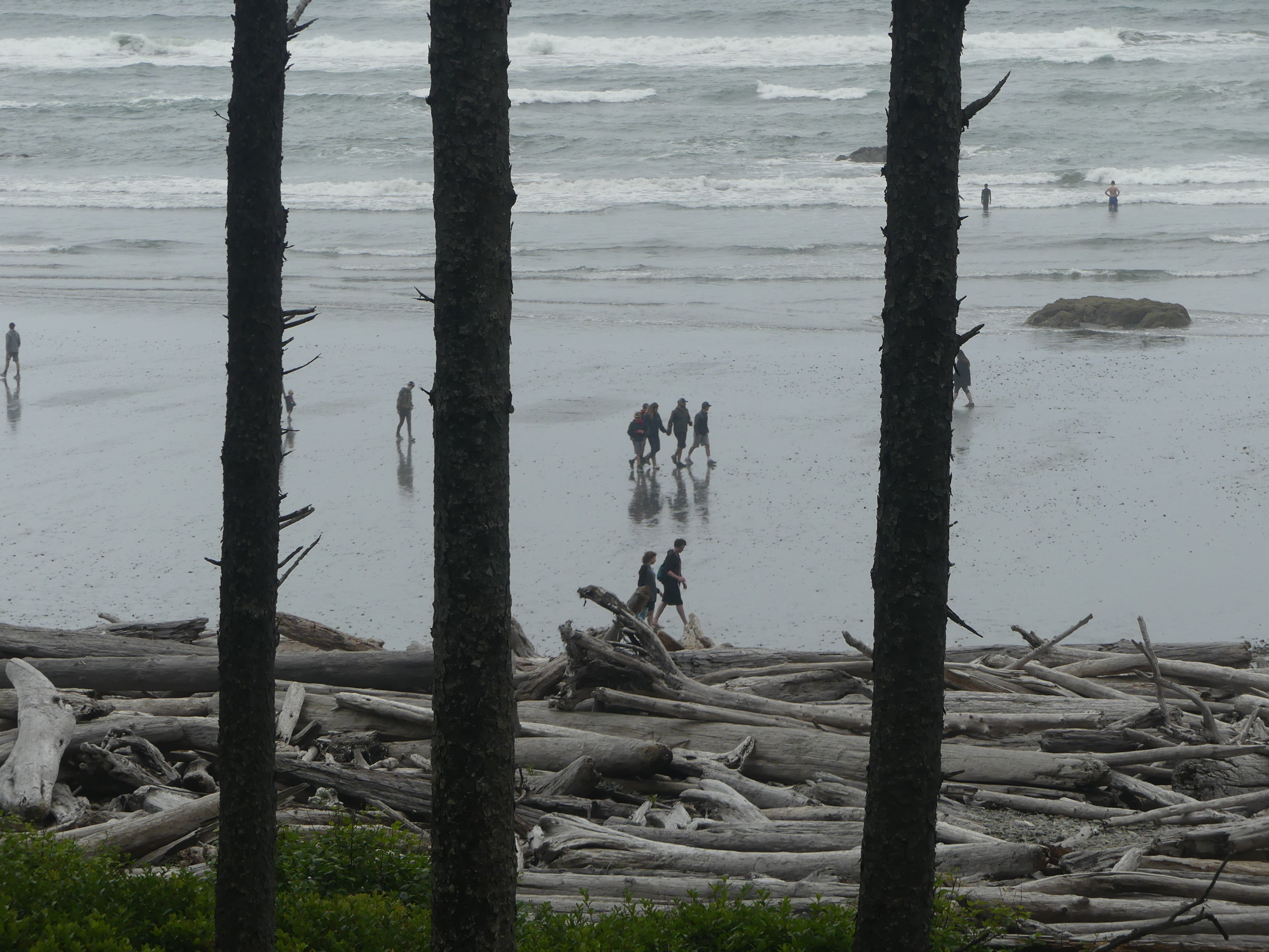
For newcomers (men riding in from the Oregon Trail in 1835, perhaps, or the travellers above, even, enjoying an evening walk on the edge of the Pacific), memory is tied to present conditions, past imaginings and perhaps to thoughts of how both those imaginings and the present conditions can be developed. The past is unreachable, and physical.
If you are new here, you might not see the hard rock gold claim being mined under that bar, or the Sinlahekin root gathering field before it. You might see nature, though.
I should have put two and two together myself. After all, for me the air of the Okanagan Valley and the water of Okanagan Lake are crystal clear, even though they haven’t been so for forty years of traffic and pollution.
Clarity is my base line, though, although there aren’t a lot of us left who remember that.
Similarly, in Smalqmex memory, the people live in a village on “Ladyslipper Lake” high in the Cathedral Lakes, surrounded by ice: another old story that Skulaxan hinted at to me one day while we were planting garlic (or was it strawberries?) in his garden. The archaelogical record tells of 8,000 years of seasonal gathering and on-site tool-making.
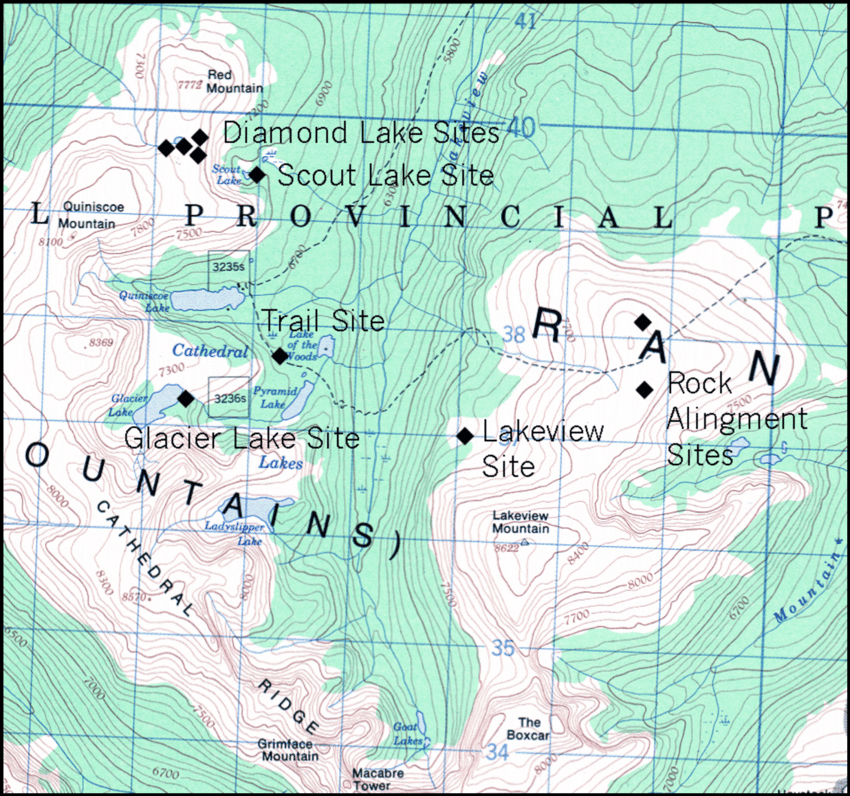
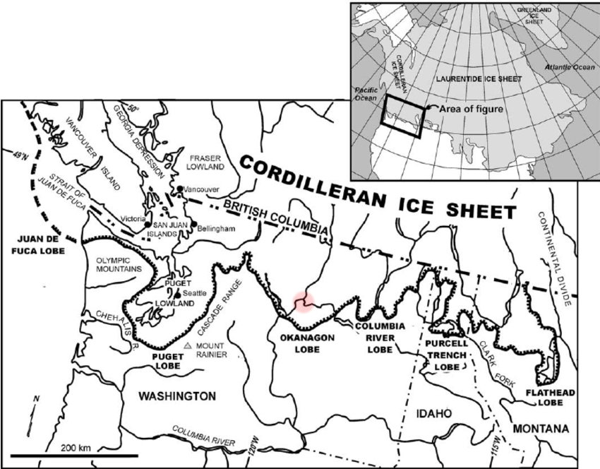
Skulaxn’s story seems to remember longer, when Cathedral Ridge was above the ice. Mary Narcisse’s story could be remembering something more recent than a post-glacial fjord lake 12,000 years ago, however. It could be remembering a flood in post-contact times.
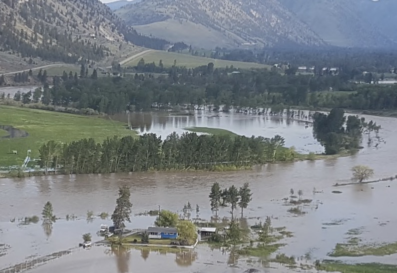
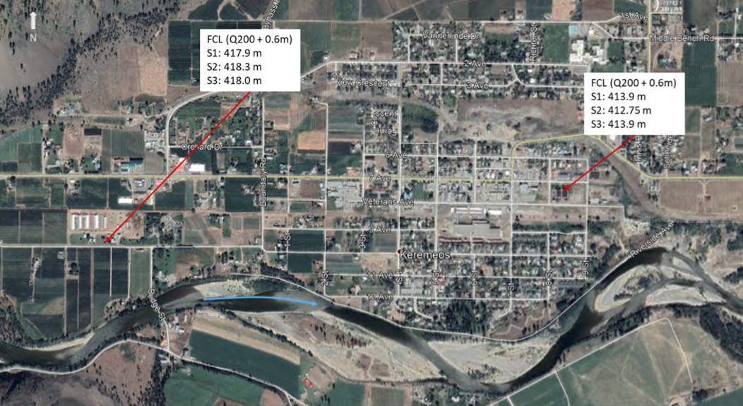
There could easily be more. Here are a few scenarios prepared by Ecora Engineeering in March 2021. This is the town of Keremeos. A metre of water over the entire town, as the caption for the image shows, is not beyond imagining. Keremeos is actually in the lake that people call a river. Nice.
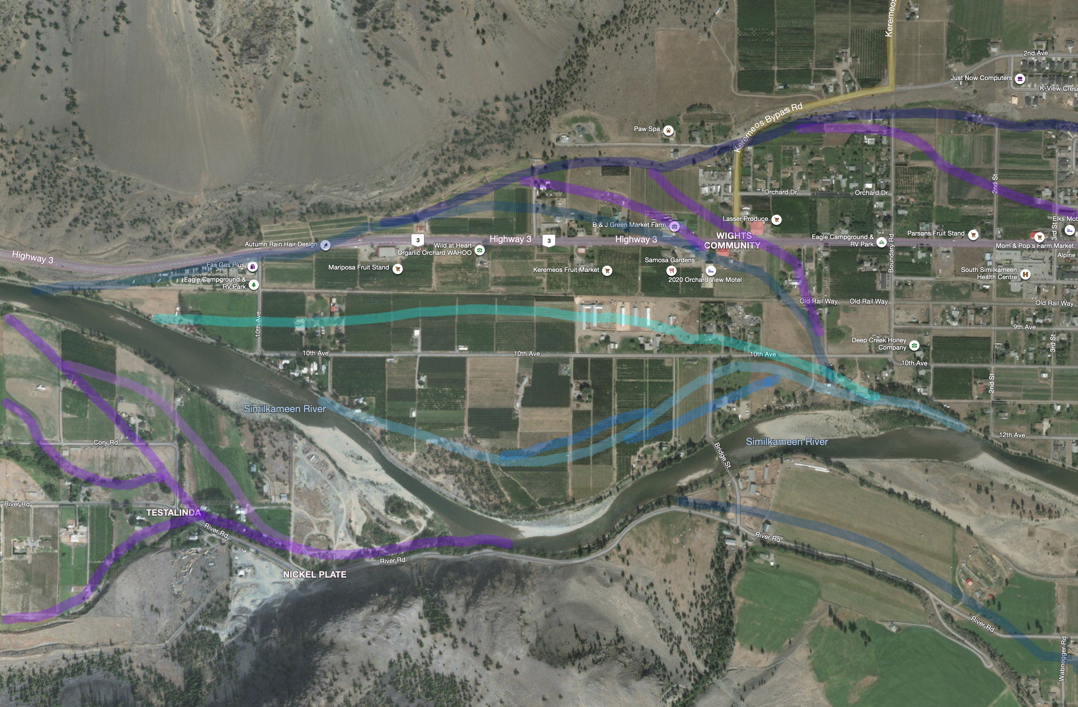
Memory can be gained, though. There are the stories Tuke Mennell used to tell. He was a Quaker and a Concientious Objector who had driven an ambulance in World War II Europe and settled in North Keremeos in 1947, in the year of the Great Flood. He was describing the point at which the river deflects off a narrow point of dike and is shoved to the west, a bit to the west of the image above. Here:
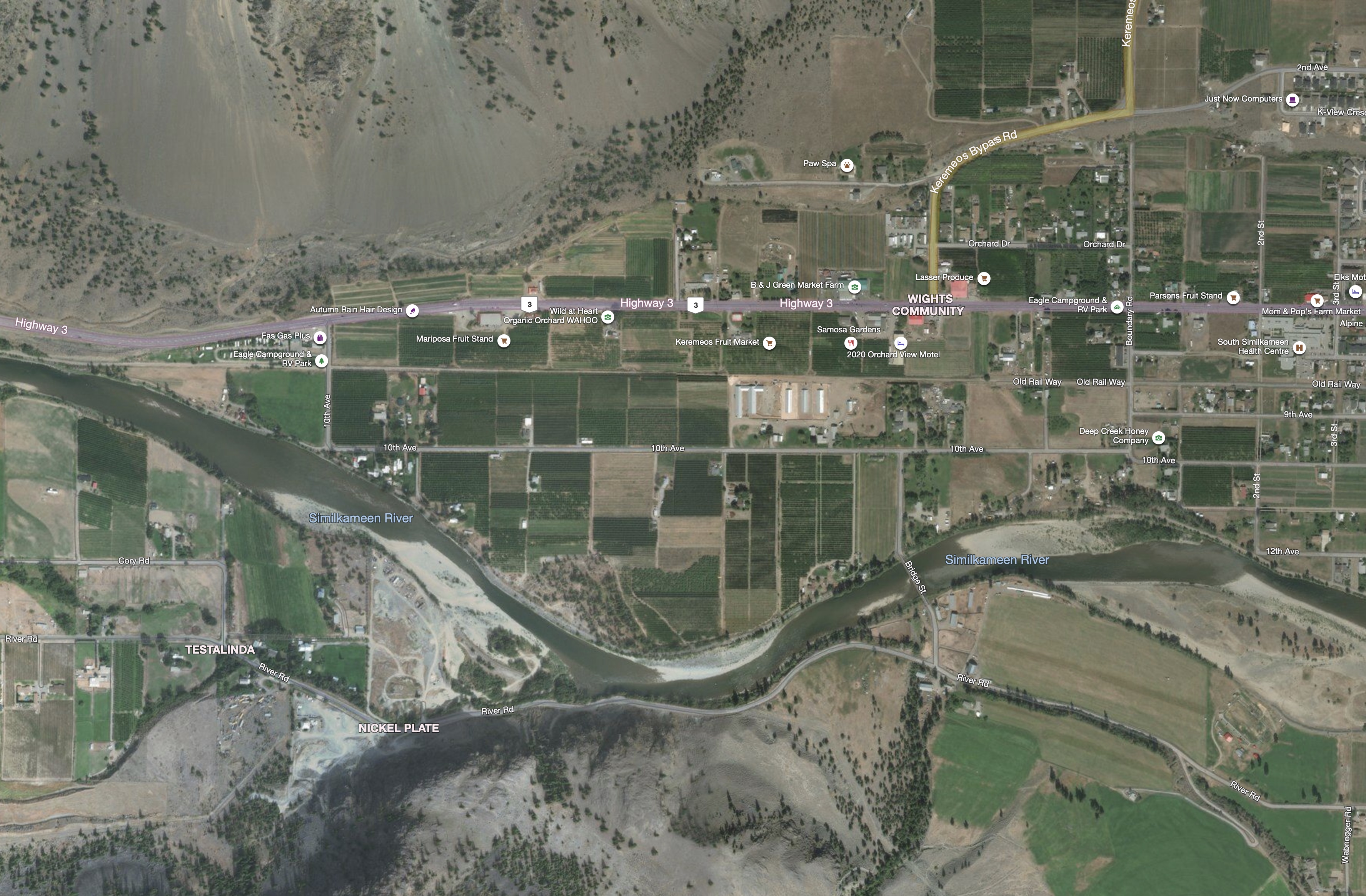
All of the town of Keremeos, orchards, vegetable farms, hayfields and houses, fills the wedge created by this bend. If the top of the dike were to go, the river would take the town (effectively an old sandbar between old flood channels) away completely and deposit it somewhere down on the reserve in Chopaka, downriver.
I paraphrase Tuke’s story:
“The river was so high it was right at the upper limit of the dike,” said Tuke, The pressure was so great that any hole in the soil leaked water, which slowly built into a stream, and then was unstoppable. We were in serious danger. My job was to go around with a shovel and fill in gopher holes, so they wouldn’t seep. Any one of them could have taken the town away.”
Tuke Mennell, c. 1985
That’s what you get from a river that flows a thousand feet deep through the gravel underfoot and just shows a blue flick of its skin on the surface, travels up the trunks of cottonwoods, and evaporate from their big leaves into the sky. When I owned Ruth Minshull’s old house on the flats south of Tuke’s gopher holes and a hundred yards from the dike and the green, ice-choked river, the water rose a foot deep in the basement each spring, then slowly receded. It was the oldest house in town.
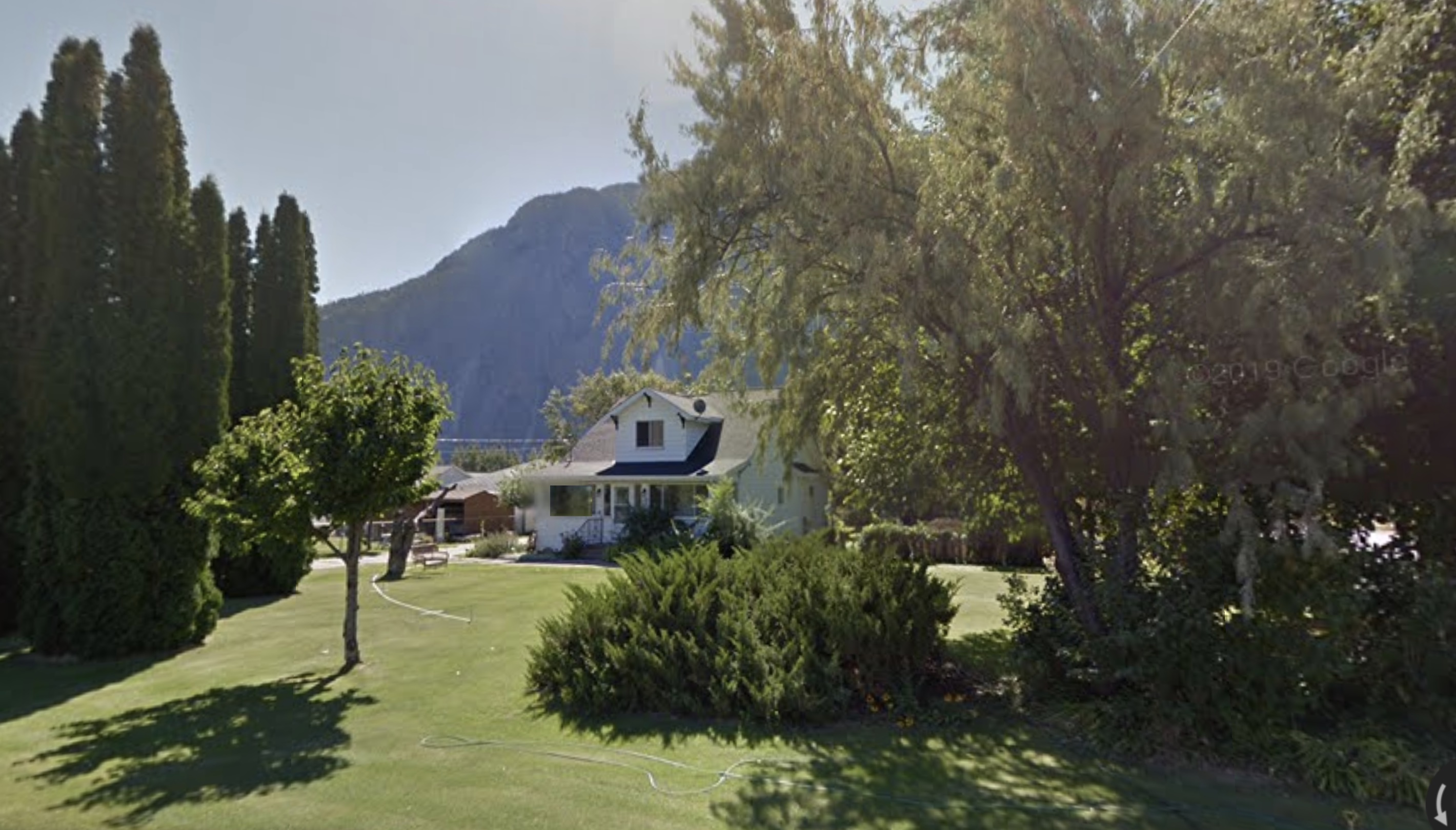
Here’s what Ed Minshull, who grew up there, said about the river and that house.
You should have seen it in 1947. That spring the pressure in the soil was so great that water filled the entire basement and poured out in a river through the coal window.
Ed Minshull, c. 1985
I thought of that coal window, across from my furnace. It was set five feet above the dirt floor of the basement and a foot above Ruth’s tulip bed outside.
Never underestimate a river. Never think you are standing on dry land. That notion only represents a temporary bank in a flow of energy. Time, land and water are one flow, not three separate notions. Not here. Any history that ignores human ways of working in that unified space will just see either time and change, without continuity, or a land separate from people called Nature.

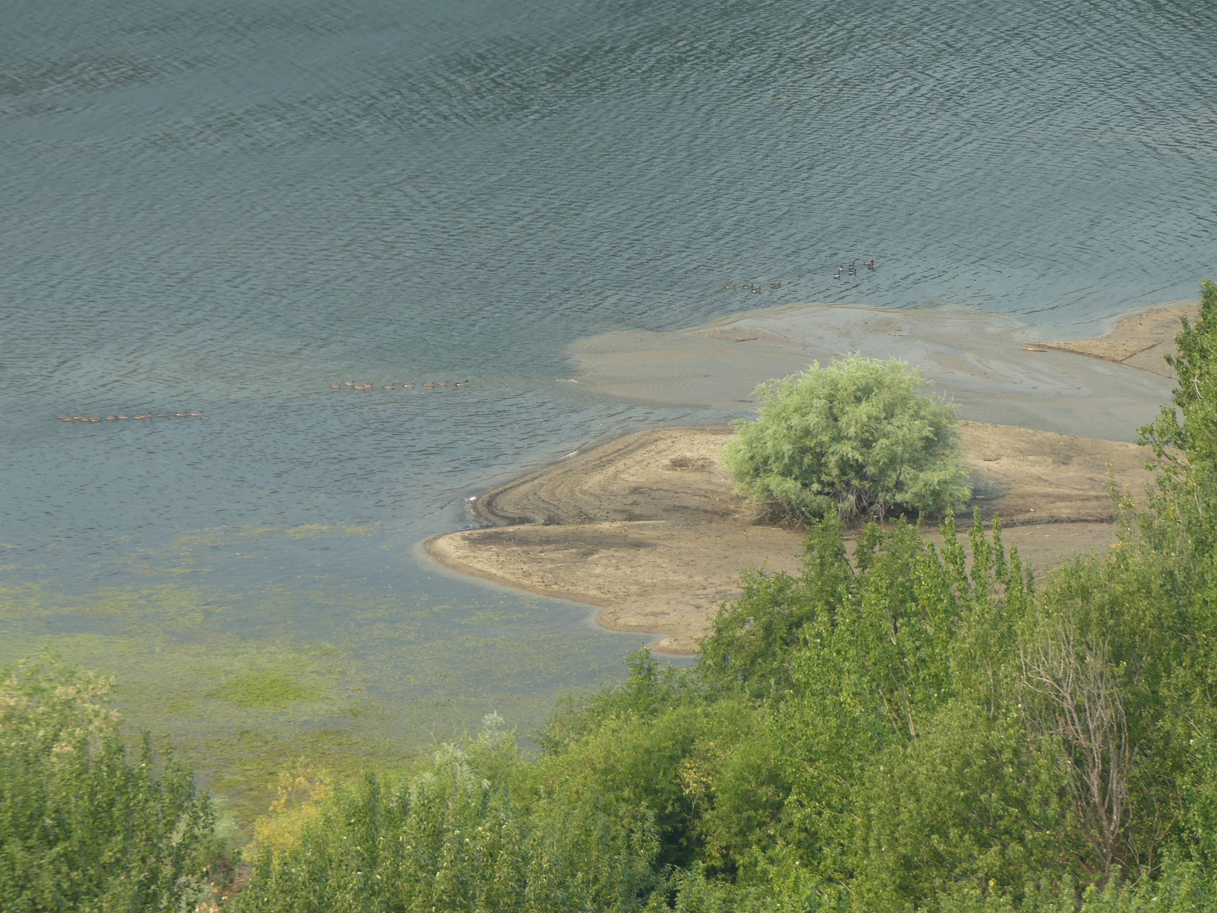
This is actually impounded water, sitting behind the Wells Dam, not a river, and not Nature. It was also hardly a land without people. The syilx were here since this land and water came clear after the melting of the ice.
So, that’s how this story is going to be told, as one of land, water, time and people together.
~
Next: We’ll look a little at the flood of 2018. After that, we will go down to Cayuse Territory and the beginning of the process of history that has led to current water crises.
Categories: Earth, Erosion, First Peoples, History, Land, Land Development, Nature Photography, Pacific Northwest, Water


