


There is an ancient trail that comes in from spaxmən (Douglas Lake), crosses kɬúsx̌nítkw (Okanagan Lake) below, on the lower left …
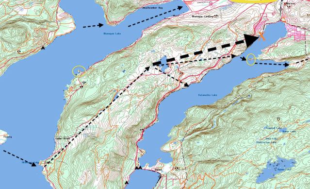
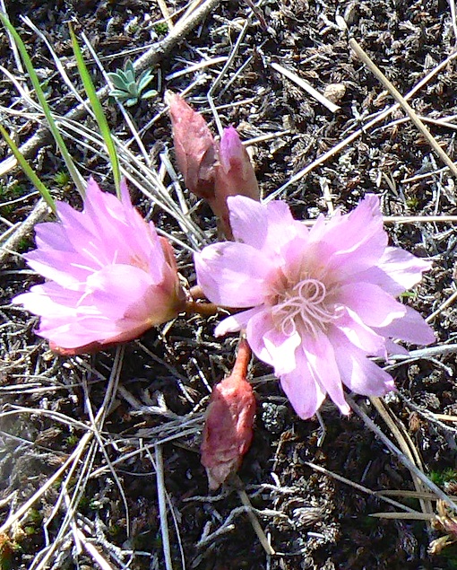
… and enters a tongue of land called “The Commonage”. The trail then climbs this tongue to root gathering grounds on its rolling crown, including precious springtime bitterroot grounds …
…then descends to sacred chilutsus, “twin lake”, the lake that is two lakes in one, now known as Kalamalka and Wood lakes. There are three possible routes of descent, limited by cliff structures along the chilutsus shore. I indicate these trails by arrows below. The lower one leads to a winter village. The upper one accesses a second winter village at the head of chilutsus.
They all skirt significant landmarks, too many to mention in a short post …

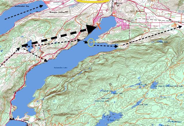
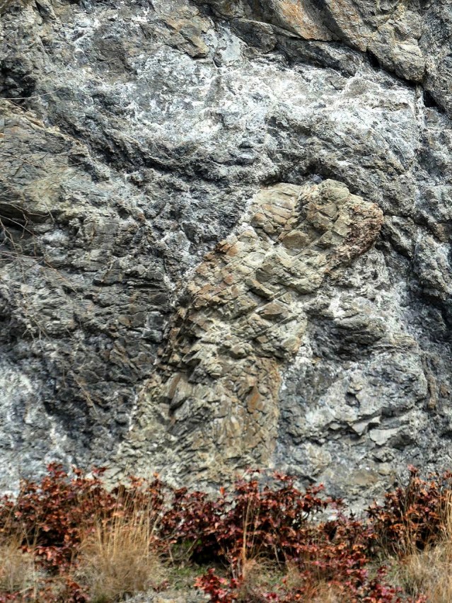
… but one series stands out: turtles. This is turtle country. I indicate a few turtles with yellow circles below:
The one in the centre left of the image is Turtle Point.

A little closer, with less light?
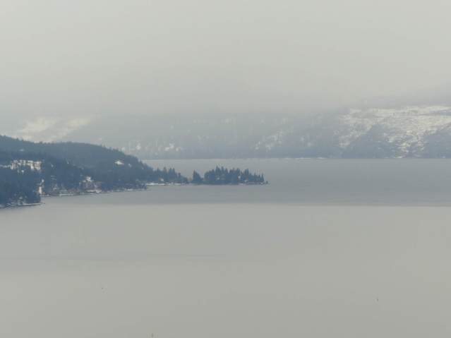 The one in the centre right of the image is, again, Turtle Point. (The turtle’s head is on the right below, white with snow.)

The one just touching the upper edge of the map above is Turtle Mountain, the anchor of a series of turtling lava extrusions stretching along the so-called Bella Vista Hills.

I have no idea what this trail was called before it became a leg of the Hudson’s Bay Company Brigade Trail 200 years ago, but it’s a logical place to cross the lake of the twins to Turtle Point, the seasonal village east of it, and the trail to the salmon grounds beyond, on the Shuswap River, far off the right side of the map below.

Without an ancient name, I suggest that, for now, we keep the trail’s history alive by describing it after its crossings, and its anchor, the marker at its lakeshore terminus…
 The snake! I suggest it’s a big-eyed Western Yellow Bellied Racer.
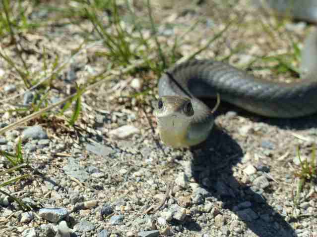
Such as the one above, which I found along the trail on the eastern shore of chilutsus.
I think it’s fitting that the trail follows a snake-like route across a rise of grass, to a cross from snake to turtle, and that this rise of grass is a snake-shaped tongue of land that keeps us alive with salmon-coloured flowers in the spring, on our way across water to the salmon that see us through the winter. My deeper hunch is that this land, called the Commonage, was always held in common between chilutsus and kɬúsx̌nítkw, and has always been a place of crossing, just as chilutsus is: one of the points in which Syilx territory meets on its north-south and east-west axes, in a territory that was always the road between the north and the south, the east and the west. Sure, it’s called The Commonage, after a ploy by White Ranchers to gain the last stretch of indigenous land for their cattle, close to 150 years ago, but it could well be that the idea was accepted partly because it had always been a place held in common.

The land tells us all we need.
Categories: First Peoples, Geology, Land, Spirit


Hi – very interested in this post. Would you be able to tell me where you found the information on the Syilx winter villages at the north end of Kalamalka Lake? Specifically, the northmost site? I’d like to do more research on this. Thanks!
LikeLike