


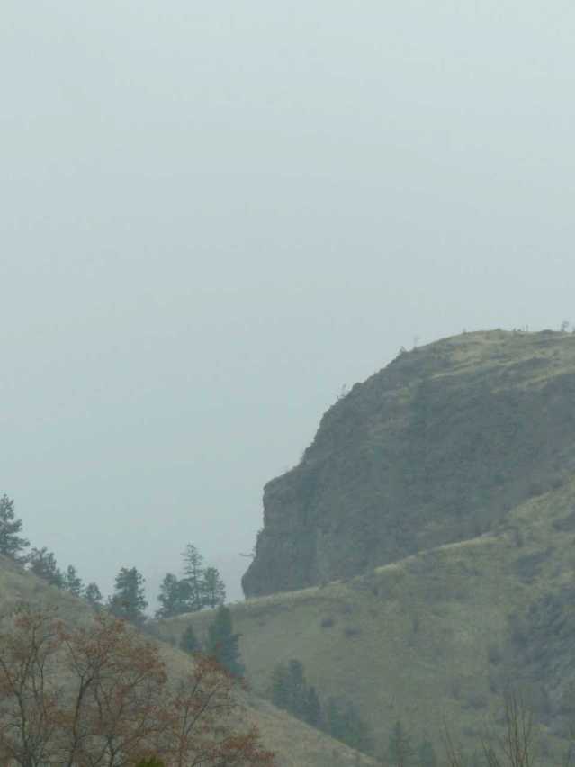
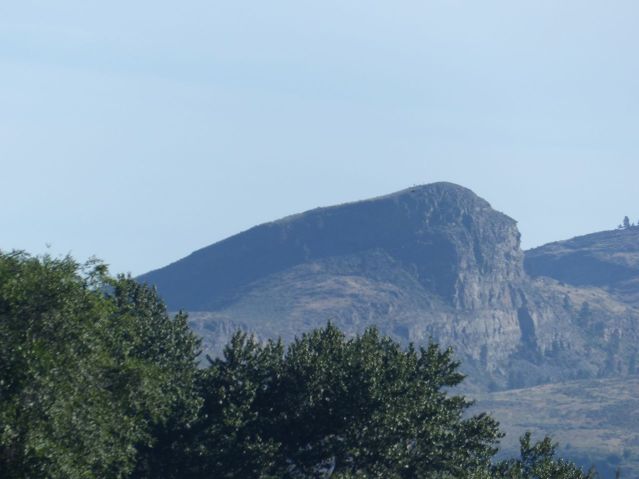
It’s called the Okanagan Valley now, north of the 1846 border that divided this land into two. South of that line, it’s known as Okanogan County, Washington, USA — hardly a valley. Early settlers here before the 1846 border with the United States (or in the quarter century after it was laid down)just called it The Land of the Big Heads. Here’s one just up q’aw’stikw’t (Skaha Lake) from sx̌ʷəx̌ʷnitkʷ (Okanagan Falls).
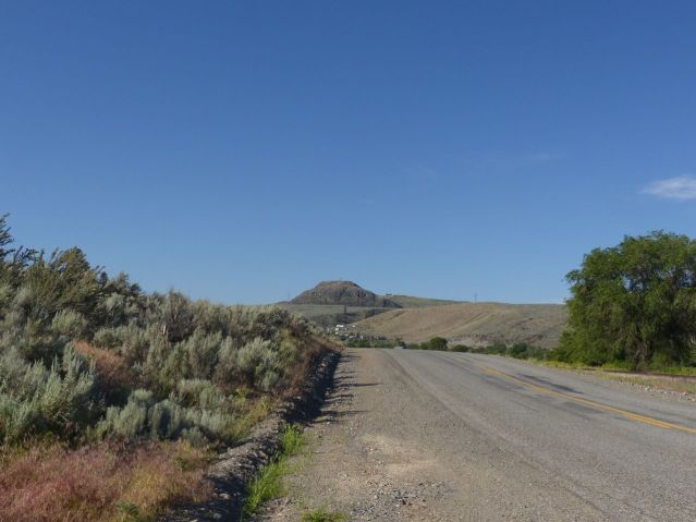
There are dozens more, between Omak and Vernon. You won’t find mention of these heads in any encyclopaedia article or tourism brochure, but this is our story. These are the ancients. Anything else is someone else’s story written here. Here’s nʕaylintn, the most famous of the big heads, a few miles south, at Nk’mp, in the summer — commonly known as “The Chief.”

Eventually, we will have a history and geology here, grounded simultaneously in the stories of this place and the exciting new understandings of natural history that fit into it.
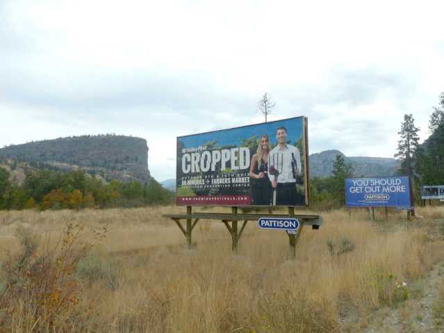
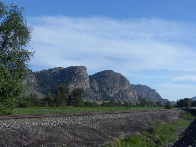
At the moment, we have the dreams of the White diaspora, such as the bizarre confluence of billboards above at Thanksgiving. White culture is fleeing Canada today for a dream of the American South in the Land of the Big Heads. To the South, in Winthrop, Richland and Chelan, the White diaspora is made out of Americans fleeing the United States for a disunited one — sometimes built on wine, sometimes built on re-creating the Wild West, and sometimes built on plutonium. Some day we will tell our own story. And the heads? Here are some down in Okanogan Country, near McLaughlin Canyon.
The heads wait. At 55 million years of age, they can take the long view.
Categories: First Peoples, Geology, Nature Photography, Spirit


Beautiful!
LikeLike
Those are great!
LikeLike