


Lake, right?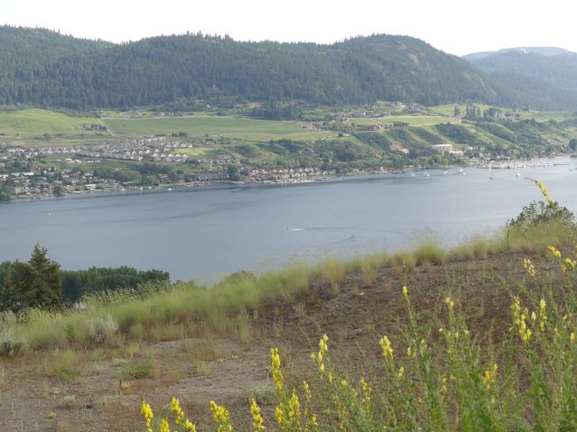
Big lake, big fun!
Pshaw. 150 metres above that lake.
 Rocks! Not just any rocks, either.
 Lake rocks, river rocks, and rocks that have fallen off a cliff, all together. We’re talking shores.
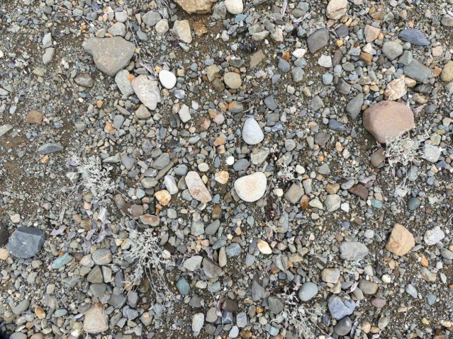
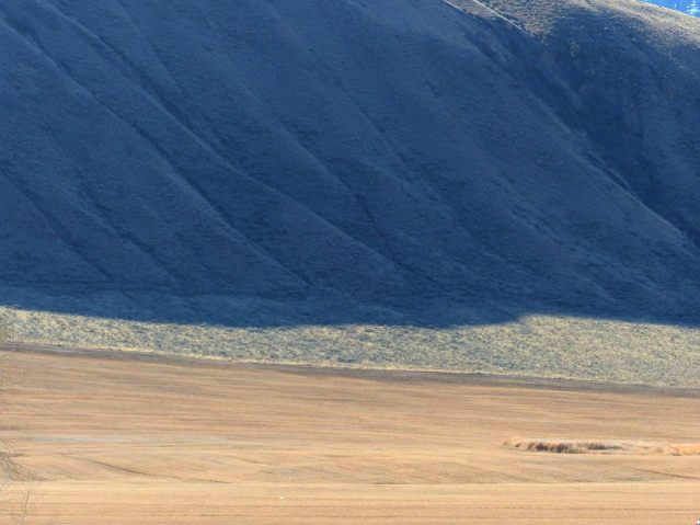
Glacial lakes the size of seas, rivers flowing beside glacial arms, and debris carried by the glacier and dropped here when it melted, on the ancient floor of the sea…

… which the ice rounded off nicely into waves. The image below would have been deep underwater 11,000 years ago.
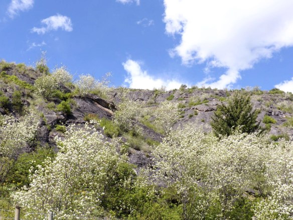
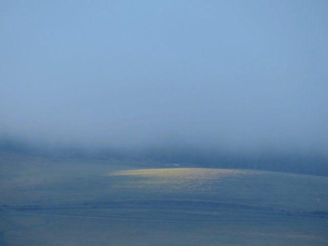
The land looks dry. With red-tailed hawks doing lovely fly-bys.
 But it’s water.

On the Coast, water flows.


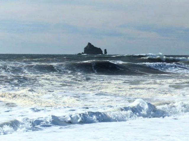 Here it causes flowing.


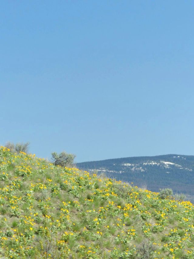


Same thing. Same water. Same presence, just falling there as rain and lifting into the air here and carrying you with it.

Some call this land Cascadia. That’s only the half of it.
~
I left names off of the images here in the hope that it would help you see them all as one.
Categories: Gaia, Grasslands, Industry, Nature Photography, Spirit, Water


I like your posts very much, sort of traveling with a guide:)
LikeLike
Lovely images.
LikeLike
The small stone with the alluvial flow is eye-catching. It can be interpreted in many ways. Beautiful.
LikeLike
Thanks for sharing your insightful observations and the excellent photos. I’m a student of glacial engineering; lived on an esker for years.
LikeLike
Which esker was that? I’m going to spend 4 weeks at the Big Bar esker this summer. Looking forward to it.
LikeLike
It’s a small esker just north of O’Keefe Ranch overlooking Okanagan Lake. The leading edge of it is occupied by the housing development, Lawrence Heights. I suspect it was formed by a smaller glacial melt river, one of scores that formed the huge post-iceage lake that has become lakes Okanagan, Osoyoss, Kalamalka, Swan, Sushwap and scores of others in the valley.
LikeLike
Cool! I’ll have to check it out.
LikeLike