
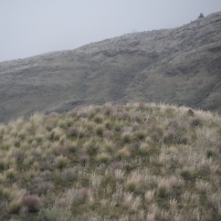

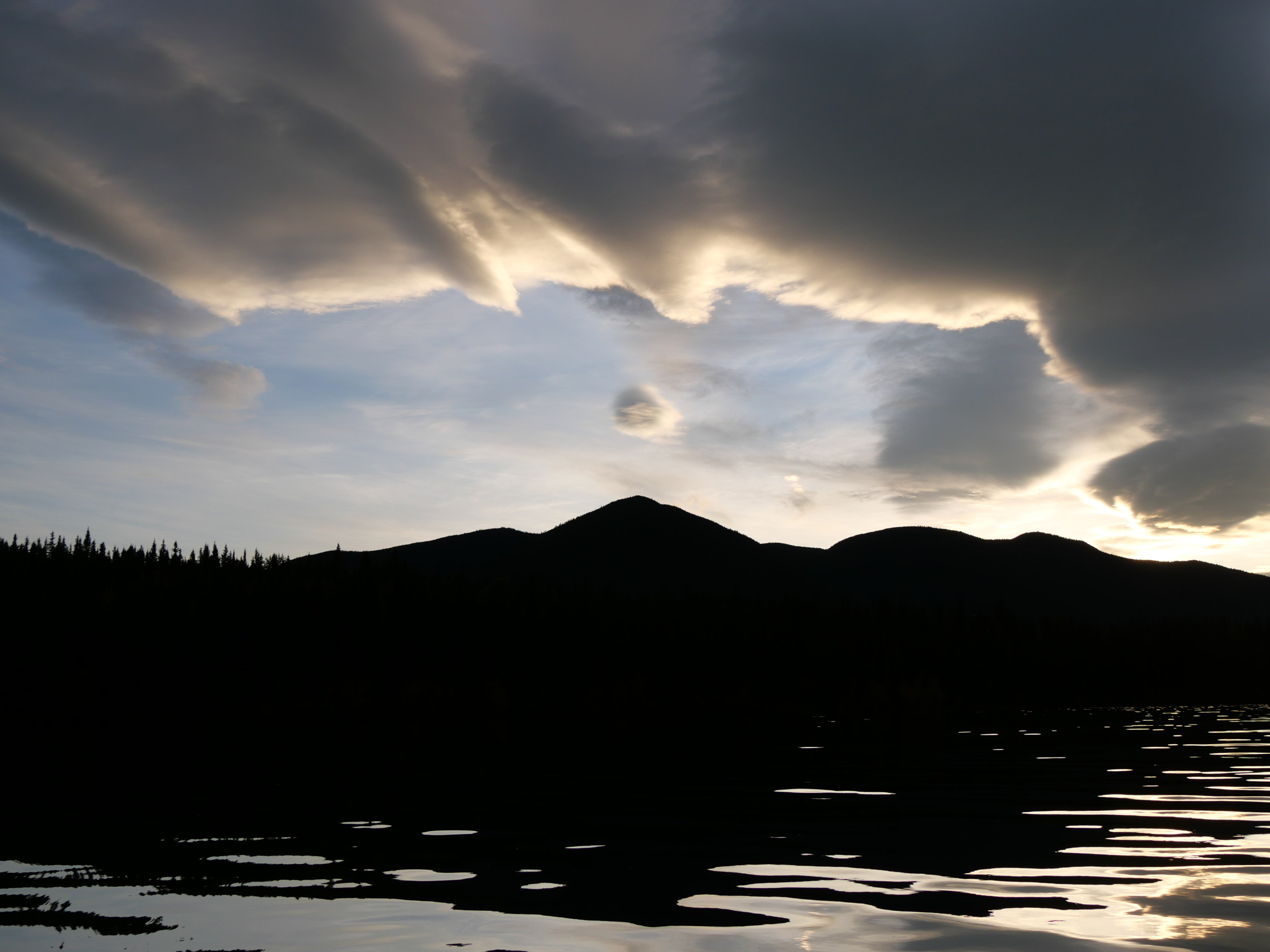
In the Similkameen, the mountains are rounded around Cawston, at least to the East.

Look how hard they fight to remain horizontal. This is flat country.

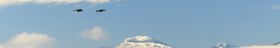
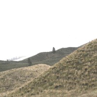
Note the sharp peaks at the bend of the Similkameen River at the south of this stretch of the valley. That’s Chopaka and Hurley Peak. Here they are from the East, in Washington.

Not two mountains, as you can see.
Here in Nighthawk, where the mountains are steep, the river has cut deep into flatness to make faces.

Look at the old horizontal lakebed deposits in the image below, and how hard the land fights to keep them vertical!

The difference is the bones of the Earth that lie under the deposited soil. Is the soil speaking the rock? Is the rock speaking the soil?

I think they’re both speaking the trees. It’s there they can be read. Look how in the flat country the trees make a flat.

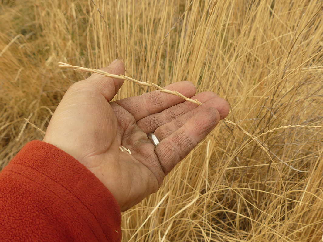
Look how complex these patterns are in the valley.

They change into each other.

It is the same in the realm of flat energy near Cawston. To the West, the mountains are just as vertical.

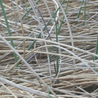
This interchange of flatness and verticality appears at the smallest level in the valley.

Perhaps that’s what valley energy is.

Neither one nor the other but both energies …

…at once.
Together.
And apart.

And that’s the point. They are one thing. Dividing them denies their story.
Categories: Earth, Erosion, Gaia, Grasslands, Nature Photography


WOW! All these photographs are amazing and so beautiful… My favorite ones, number 3, 4, 5, 6, and 8… fascinated me. Thank you, Love, nia
LikeLike
You chose the American Similkameen. It’s the beautiful stretch of the valley hardly anyone knows. Good choice!
>
LikeLiked by 1 person