


One of the most stunning headlands left along the Columbia River is Horse Thief Butte. It was a major village site for as long as there were salmon in the river. There aren’t many of those now, sadly enough. The greatest river on the western shore of North America, and the world’s greatest salmon river, has become an electrical generating station and boat canal.

Horse Thief Butte, Columbia Hills State Park, Washington
Note the old pit house sites in the foreground.
History here is of the ‘hands-on’-‘hands-off’ variety. Does that sound confusing? Not at all. Take a look:

Cultural Site, Horsethief Butte
Entrance strictly forbidden, please, in the words of the Washington Government (as posted at the parking lot down by the road), in order to “preserve access for all to the park”. “Please keep chalking to a minimum.”
Here’s what the onsite signs have to say about all that:

Close Up View of the Guard Signs
The idea is to prevent ‘chalking’, which is the tracing of the faint patterns on the rock, so they can be photographed.
Is this an effective strategy? You be the judge. Here’s another cultural rock face, just across from the protected one, no doubt judged no longer worth protecting:

Pictographs Without the “Pict”
You can, perhaps, see what might drive someone to ‘chalking’.
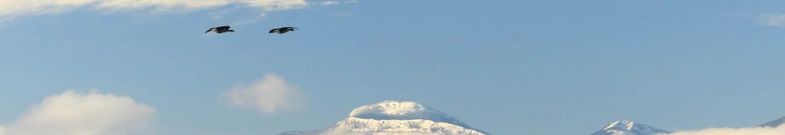
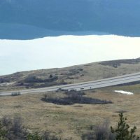
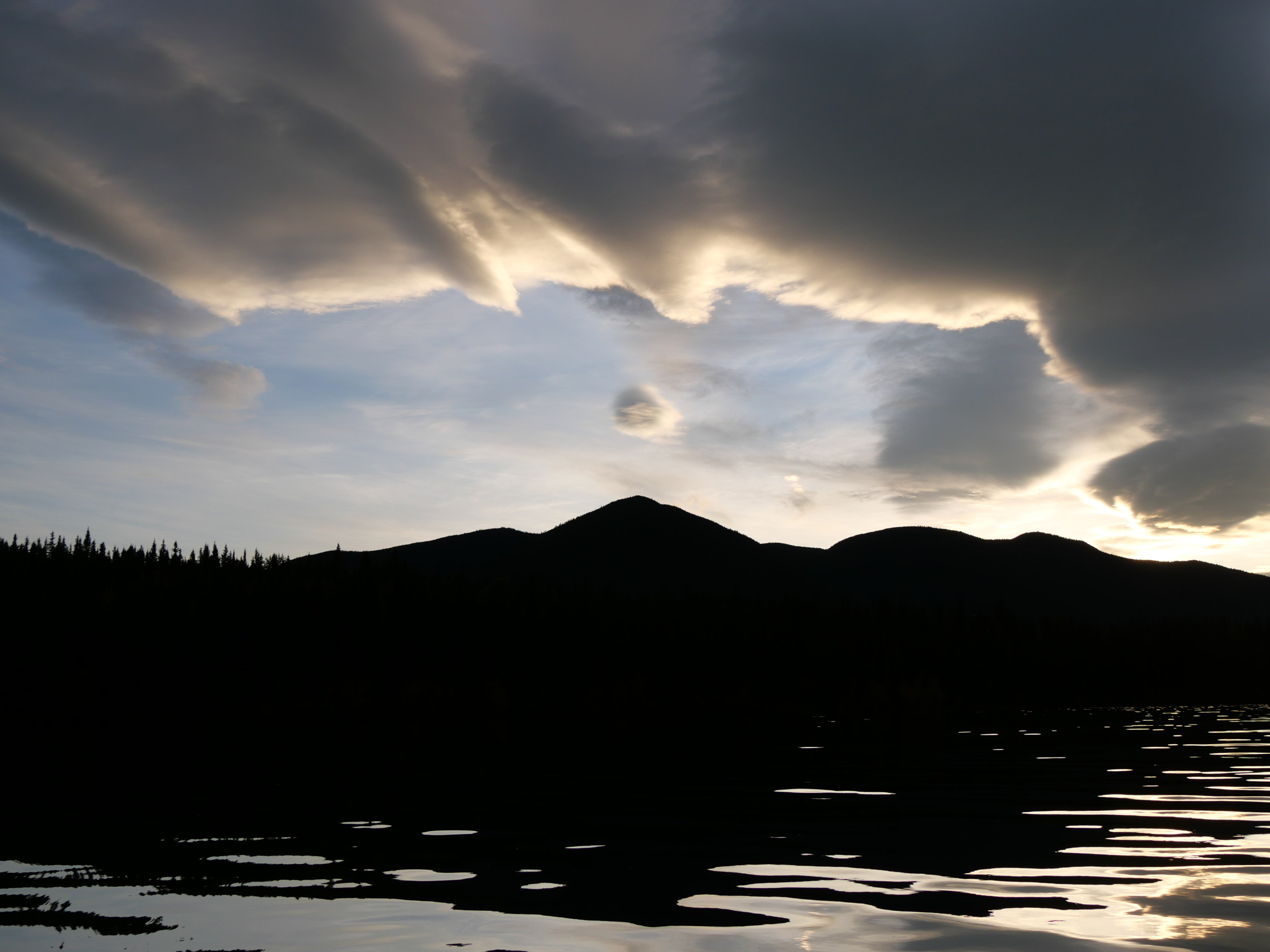
The river down below was once the site of many petroglyphs — all drowned by The Dalles Dam in 1957. When the explorers Lewis and Clark asked the Umatillo people who made them, the answer was “The River People.” In other words, even they didn’t know. They’re that old. Here’s the flooded river, from the southern base of the butte, looking south to Oregon:

The Impounded Columbia
The railroad line in the mid-ground of the photograph cuts off a big lazy bend in the river, which salmon used for resting after cresting the torrents of Celillo Falls just downriver. It was some of the best fishing in the world. For thousands of years, most of the Plateau Peoples travelled here to fish for months at a time. Note the pit houses in the foreground, desecrated by treasure seekers. It looks like they used a back hoe!
Life was concentrated here. Here are the Columbia Hills, where balsam root provided major starch sources in the spring — enough to support tens of thousands of people.

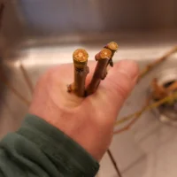
Giant Rye Grass, North Village, Horse Thief Butte
Columbia Hills and their balsam root gardens in the background.
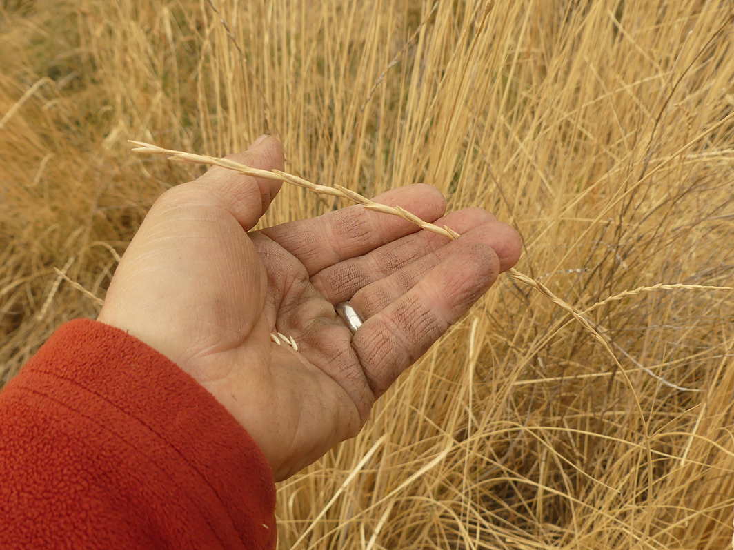
Not all gardens were even that far away. Here’s one right outside the village site, and still coming up every spring.

Ancient Garden
This might be one of the world’s oldest, continuous agricultural plantations. It is now called wilderness. It isn’t.
History books talk about hunter-gather populations (people who hunted on the land and gathered plants from it), but it’s not as simple as that. People farmed this land, but in a way that did not deny it its natural processes. It was sustainable, forever, but vulnerable to invasion by technological peoples convinced that farming could be better managed with fences. Oh, and what about that Horse Thief? Well, I have an idea I’m researching about that. When I narrow it down, I’ll let you know. Until then, I think, perhaps, this is him, looking East. (Sorry about the burnout. I had to shoot into the sun. Hey, it was dinner time, and roads are long.)

The Thief Himself
And his horse, too.
I know we’re a long way from the Okanagan-Okanogan Valley here, but these remaining gardens are rare, that’s our water flowing by, and this was one of our fishing sites since forever. This is part of our story. Always has been. Always will be. Total bummer about the chalking, though.
Tomorrow: more journeys in Washington.
Categories: Agriculture, First Peoples, Nature Photography


Interesting and confusing-how long ago the villages have been abandoned?
It seems at last tourists are not very common here?
Wonderful place!
LikeLike
The villages would have been abandoned about 150 years ago, at the time of the Indian wars, when the peoples were moved onto distant reservations, away from the river. The salmon were pretty much decimated a century ago, but the people still came for them, until 1957, when the dam was completed. Now they fish below the dam, for far fewer fish. It is an area with many tourists, although only a fraction of those of 50 years ago (when the butte wasn’t protected by a park). Most people take the freeway on the Oregon side of the river. The butte is a popular local wilderness area now. I find it fascinating (and troubling) that all this cultural material (the pit houses, the rock forms, the pictographs, the gardens) is in plain view, but remains unseen, unwritten, un-noted, and unprotected. You’re completely right. This river and all its land is very beautiful. Exceptionally so.
LikeLike
Thank you for the explanation,at least a fragment of this forgotten land is now documented on your blog.You gave me good idea to write about forgotten land (and plants there) in my country-thou there is always this concern, that publicity an one side rises awareness ,but on the other side uncovers too much the things that aren’t protected enough…..
LikeLike
I agree with your concern. Still, I figured that since the area has the protection of State Park status, I could point the way to it, in the hope that the Washington Government could improve its patrolling and protection. I really would like native american points of view to start being included in how land is seen, and to help get rid of the idea of wilderness, as it prevents us from moving forward. Areas that are unprotected are sure not going to receive sign posts from me, that’s for sure.
LikeLike
I enjoyed my hike at Horsethief Butte earlier this month. It’s a great place to hike or climb. I would also welcome any hikers and climbers to my vacation rental – 30 min. away.
spanishhollowvacationrental.com
LikeLike