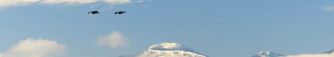


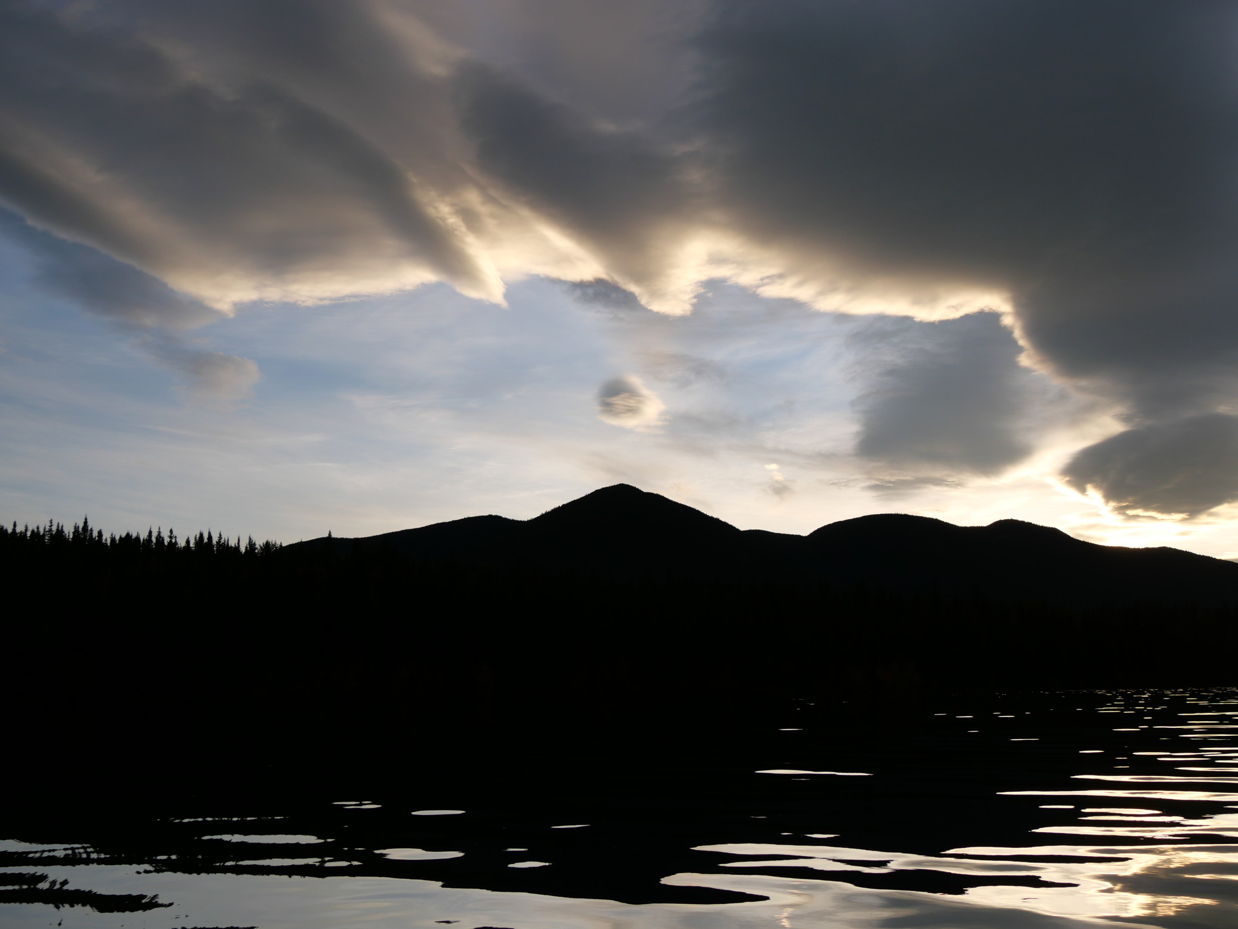
I just listened to a couple Canadian reporters talk about the stress of reporting on climate change and a hostile Earth firsthand during last months floods here in Northern Cascadia, and how they felt hopeless. Now, that was a surprise. While they were reporting, I was stressed myself, at how they were continually describing exaggerated and troubling but otherwise normal weather events in apocalyptic terms, even describing a normal weather event, atmospheric rivers, in terms suggestive of a planet gone roque. I was also frustrated at how they did not discuss the real problem here, a breakdown of civic infrastructure and a breakdown of the means of interfacing with the environment, which are rudimentary at best. What’s more, when other reporters filed stories on flooding in the Similkameen River, I must confess I was not amused. Water up to the base of the Red Bridge in Keremeos?

Serious, indeed, but how normal is that. I’ll tell you: normal as all heck. Water flooding hayfields 15 kilometres east of Princeton?

Well, yes, those fields always flood. There was even a story about how the dikes along this Cascadian river, that crosses the lines between American and Canadian imperial jurisdictions in Cascadia twice, weren’t continuous, and needed to be in these terrible times, to protect private property. https://www.cbc.ca/news/canada/british-columbia/orphan-dikes-bc-interior-1.6273906 Oh, Cascadians, is that not more than a little too much? To increase the flow of the river, scour out spawning gravels, increase flows and pressure down Chopaka way, rip out the bottomlands of the Lower Similkameen Indian Band, and dump it all in Washington? As it is, the results were a reversal of the flow of the Okanogan River in Oroville. Instead of flowing south to the Columbia after its confluence with the Similkameen, it flowed north, into Osoyoos Lake, as the Okanagan system had been drained of water to protect foreshore houses (with the consequence that 20 years of building salmon spawning habitat was destroyed by the artificially-lowered water.) https://ijc.org/en/olbc/record-high-similkameen-river-flows-cause-okanogan-river-reverse-direction-zosel-dam. Here is the Similkameen flowing backwards into Osoyoos Lake.

Well, all-in-all, a no-brainer. I have a friend down on the Reserve. We stood in front of his house, on a bench 50 metres above the river. He pointed out over the valley bottom, and said: “All this land belongs to the river.” It is as simple as that. Rain in Cascadia is not the Apocalypse. Rain in an imperial state, call it British Columbia if you like, where roads, houses, sewers, farms and such are laid down in areas that belong to the water, without making accommodation for the water, is the Apocalypse. But, just a sec. Is it really the Apocalypse if any destruction was caused by the breakdown of infrastructure that is in the wrong place? It is a catastrophe, that’s for sure, and a real hardship for people living within the imperial grid, but it is not the end of the Earth. It should be the end of any state that has built against the needs of the land and the water. A state like that should be replaced with a new state, composed of the same people in the same place, now working constructively with their flows, and that includes battling climate change from a position of strength and hope. Hopelessness only comes when you are trapped. We aren’t. We only have to completely change our lives. We’re going to have to, anyway, so let’s get on with it, with hope.


When I grew up, building on the floodplain was considered an attack on one’s rights. I remember the severe floods in the Quad Cities area of the midwestern U.S.A., and the resistance to re-thinking putting farm buildings on the plain but continuing to grow crops there.
In my home area, dykes have been raised on the Bulkley and tributaries because–it is said by gov’t authorities–they are constrained to do so by past legislation. Attempts by conservation organizations to “give the creek its room to move” are ongoing but the prognosis is not good.
Meanwhile, one rancher, asked about how he would feel if there was more spring flooding if the river was allowed to meander more (as historically it has)–said something like this: “Sure, no problem. We always have parts of fields that flood and we either take a later crop off or just skip making hay in that part.”
LikeLike
Thanks for the historical nuggets. I’m sad to hear of the bureaucratic snafu on the Bulkley. I like this rancher friend of yours!
LikeLike
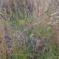
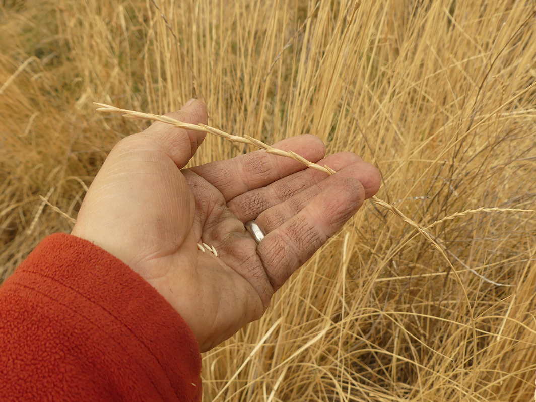
Look up a proper definition of ‘meadow,’ which is a low lying field that floods and is perfect for growing hay. The European model is simple: livestock on the meadow in autumn and early winter, water on the meadow in winter, hay harvest in July when the livestock are grazing the hills, and the meadow hay harvest provides food for the livestock in winter.
LikeLike
Thanks, Jim. I’ll do that for sure. Blessings of the season to you!
LikeLike